Hooiberg
Dutch privateer Pieter Schouten sailed past Aruba on April 24, 1624, and noted in his log a single defining feature: a mountain. 'Hooiberg,' he wrote, 'will always remain a beacon to all seafarers.' Four centuries later, the conical hill still performs exactly that function -- not for ships anymore, but for anyone trying to orient themselves on a flat, wind-scoured island where the average elevation barely clears 40 meters above sea level. At 165 meters, Hooiberg is not actually Aruba's tallest point (that distinction belongs to Mount Jamanota), but it is the one you cannot stop looking at. Its near-perfect cone rises from the island's center like a geological exclamation mark, visible from almost everywhere, belonging to no particular town but claimed by all of them.
A Hill of Many Names
Before the Dutch called it Hooiberg -- a compound of hooi (hay) and berg (mountain), because the shape reminded them of a loose haystack or a hay barrack -- the indigenous Arawak people knew it as Orcuyo. The Spanish had their own name: Cerro de Paja o Pan de Azucar, meaning hill of straw or sugarloaf, placing it in the same naming tradition as Brazil's famous Sugarloaf Mountain and Pan de Azucar Island in the Philippines. Each culture that encountered the hill reached for the same metaphor: something conical, something stacked, something that looked like it had been shaped by human hands rather than geology. The Dutch spelling itself drifted over the centuries, from Hooy berg to Hooij-berg before settling into its current form. The indigenous language that produced the name Orcuyo has been lost entirely, making the hill one of the few remaining echoes of a vocabulary that no one alive can speak.
Stone Older Than the Island Looks
Geologically, Hooiberg is a remnant. The flat landscape surrounding it is quartz-diorite bedrock, eroded over millennia to a low, rolling surface punctuated by rounded boulder formations at Casibari and Ayo. Three hills survived this erosion through the particular hardness of their rock: Hooiberg at 165 meters, Wara Wara at 98, and Seroe Bientoe at 85. Hooiberg's rock contains large hornblende crystals in a matrix of plagioclase enclosing augite -- a mineral combination geologists have named hooibergite, after the hill itself. This rock represents the final magmatic phase of the geological sequence that formed Aruba's batholith, the deep igneous body underlying the island. In a place where most of the landscape has been worn to flatness, Hooiberg is what resisted.
The Peanut Island and the Aloe Fields
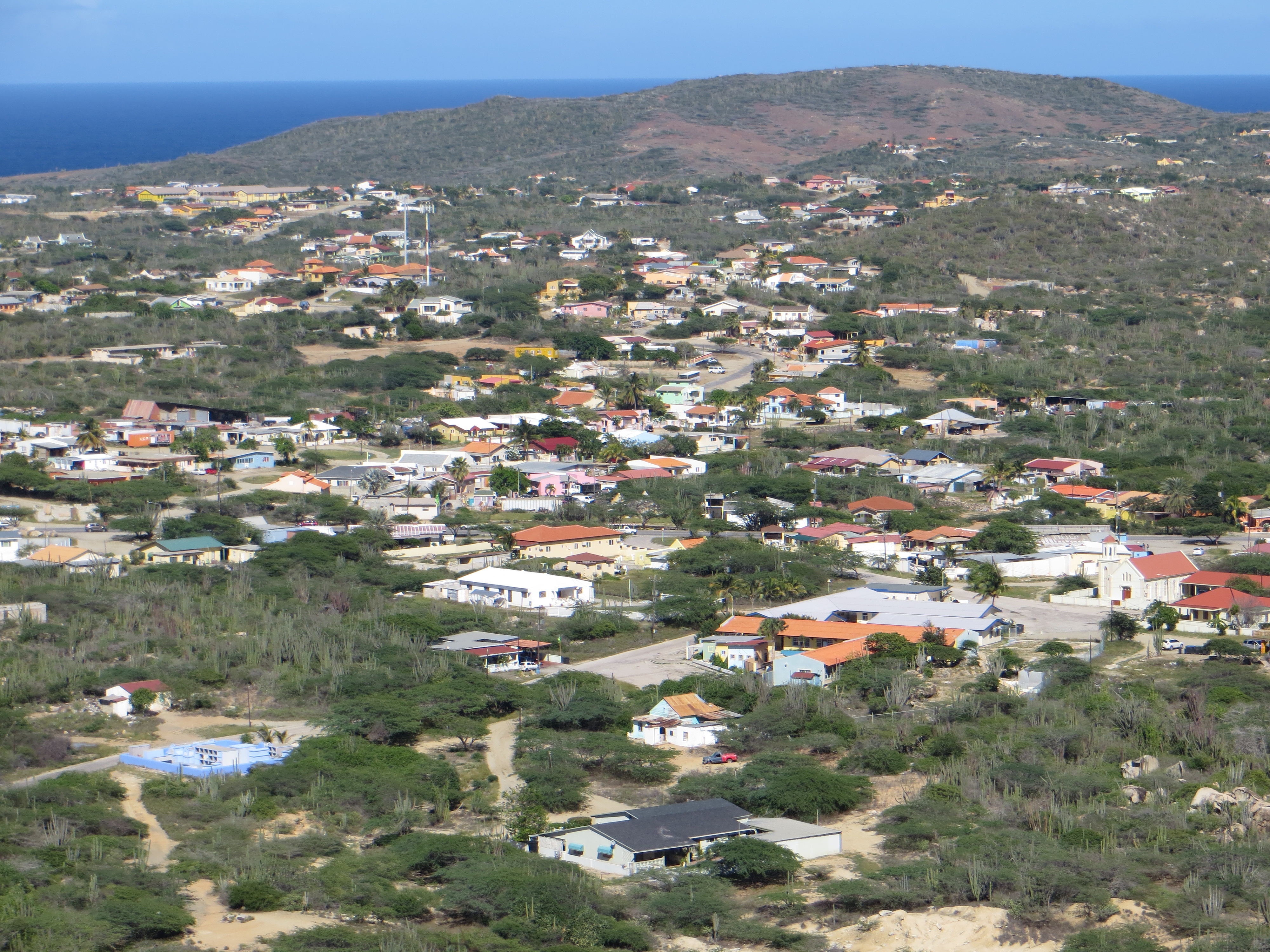
Hooiberg's significance extends well below its summit. The triangle of peaks formed by Hooiberg, Seroe Biento, and Cero Canashito creates a watershed at their base, making the surrounding lowlands one of Aruba's most reliable agricultural zones. In 1830, colonial authorities promoted settlement near Canashito to stimulate farming, and the effort succeeded -- crops, fruit trees, and seed-bearing plants thrived on just two hectares. Peanuts, imported from Curacao by the Dutch West India Company in the 18th century, grew so well in Aruba's distinctive soil that the island became known simply as 'the peanut island.' Aloe vera, introduced in 1840, became another major export; by 1912, Aruba was shipping 375,000 kilograms of the plant, dwarfing the 920 kilograms produced by neighboring Curacao. The hill's image was formally adopted onto Aruba's coat of arms on November 15, 1955, depicted in green in the upper right quadrant, symbolizing the island's agricultural heritage.
Nine Hundred Steps Without a Blueprint
Indigenous peoples had long used the conical hill as a watchtower, climbing its slopes to survey the sea for approaching canoes or ships. Shell artifacts found near the summit confirm centuries of human presence at the top. In modern times, radio and television masts were installed on the peak, along with a navigation light, and someone needed to maintain them. In 1951, architect Eduardo Tromp took on what few others wanted: building a concrete staircase to the summit. He completed the roughly 900 steps in three months, working without a formal blueprint. The staircase remains, steep and daunting, a popular challenge for visitors and locals alike. In 2017, Aruban politician Ricardo Croes climbed it 21 times in six hours to raise money for a children's home and a foundation for people with cognitive disabilities.
The Night the Hill Came Down
Hooiberg's slopes are not as stable as its permanence suggests. On October 13, 1990, after a night of extreme rain, thunder, and flooding, a section of the hillside gave way. At around three in the morning, neighbors near address Hooiberg 83 heard a deep rumbling. First responders found Mr. Frank covered in mud, searching desperately for his wife, who was trapped inside their half-crushed home. The conditions were too dangerous for a rescue -- the ground was saturated, boulders still shifting, rain still falling. It took excavators until eight in the morning to reach Mrs. Frank's body, buried beneath mud and a boulder five feet wide. The family had just put the house on the market and purchased a new home. They were planning to move soon. The house at Hooiberg 83 was demolished. The plot remains empty to this day, a small cleared space at the base of a hill that has otherwise endured everything the Caribbean has thrown at it.
From the Air
Hooiberg (12.517N, 69.995W) is a distinctive 165-meter conical hill at the center of Aruba, easily the most recognizable natural landmark on the island from the air. Its near-perfect cone shape stands out sharply against the otherwise flat diorite landscape. Nearby airport: Queen Beatrix International Airport (TNCA), approximately 7 km to the southwest. Best viewed at 2,000-4,000 ft AGL for full appreciation of the cone's symmetry and its relationship to the surrounding flat terrain. The Casibari and Ayo rock formations are visible nearby to the east.