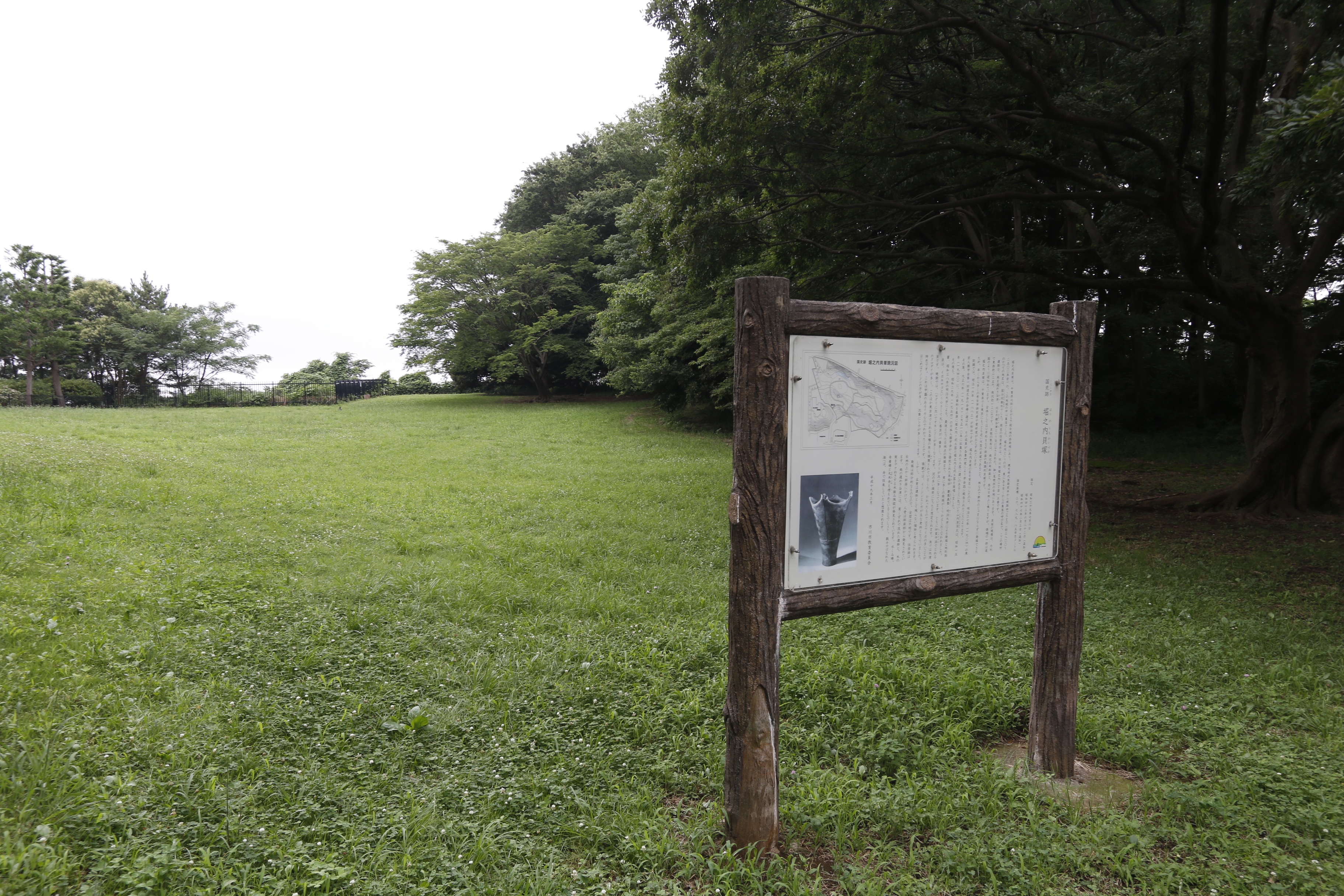
Horinouchi Shell Mound
Four thousand years ago, the ocean lapped at the foot of a low ridge in what is now the city of Ichikawa, Chiba Prefecture. The Jomon people who lived there ate clams and cockles from the brackish shallows of Tokyo Bay, tossing the spent shells into growing heaps around their settlement. Over centuries, those heaps fused into a horseshoe-shaped mound 225 meters wide -- a trash pile so vast and so perfectly preserved that it became one of Japan's most important archaeological sites. The Horinouchi Shell Mound is a National Historic Site, a type site for an entire pottery tradition, and a window into a world that vanished when the sea retreated.
When the Sea Came Inland
During the early to middle Jomon period, roughly 4000 to 2500 BC, sea levels stood five to six meters higher than today, and temperatures ran about two degrees Celsius warmer. Tokyo Bay extended much farther inland, and the Shimosa Plateau -- where Ichikawa now spreads its suburban grid -- was a peninsula jutting into warm, shallow water. The ridge where the Horinouchi mound sits stood at an elevation of about 22 meters, right on the bank of the Kokubun River. It was prime real estate for Jomon coastal dwellers: high ground with easy access to the shellfish beds below. The foundations of a pit dwelling from the early Jomon period lie buried beneath the shell layers, proving that people lived on this ridge before the midden even began to form.
Reading the Shells
The mound stretches 120 meters from north to south and 225 meters from east to west, forming a partial shell ring -- a horseshoe of debris that archaeologists can read like a book. The shells themselves are mostly brackish-water species: hamaguri clams, cockles, whelks, ibo-kesago snails, and black clams. Mixed among them are bone fragments, stone tools, shell bracelets, clay figurines called dogu, and human remains. Of the roughly 2,400 shell middens scattered across Japan, about 120 cluster in Chiba Prefecture alone, concentrated along the ancient shoreline of Tokyo Bay. The Horinouchi mound stands out among them not just for its size and preservation, but for what its pottery revealed about Jomon culture across the entire Kanto region.
A Name That Traveled
Archaeologists have known about the Horinouchi mound since the early Meiji period, and the first formal excavation took place in 1901. Teams from Tokyo Imperial University, Rikkyo University, Waseda University, Keio University, and Meiji University have all dug here over the decades, drawn by the site's proximity to Tokyo and its rich, well-stratified deposits. Their most significant finding gave the site lasting fame: a distinctive type of Jomon pottery, dating to roughly 3,800 years ago in the late middle Jomon period, was first identified and classified here. Named Horinouchi-style pottery, it has since been found distributed widely throughout the Kanto region, making this suburban mound the reference standard -- the type site -- against which similar pottery across eastern Japan is compared.
Ancient Ground, Modern City
The site was designated a National Historic Site of Japan in 1964, with the protected area expanded in 1967 and again in 1972. Today the mound sits in the Horinouchi neighborhood of Ichikawa, about eight minutes on foot from Kita-Kokubun Station on the Hokuso Railway Hokuso Line. An adjacent museum displays many of the artifacts recovered from more than a century of excavation -- pottery sherds, stone tools, shell ornaments, the small haunting faces of dogu figurines. Two kilometers to the south lie the ruins of the Shimosa Kokufu, a provincial government seat from a much later era, alongside the Ichikawa History Museum. The layers here run deep: Jomon shellfish gatherers, provincial bureaucrats, and now commuters catching the train to Tokyo, all occupying the same patch of ground at the edge of a bay that is no longer there.
From the Air
Located at 35.759N, 139.911E in Ichikawa, Chiba Prefecture, east of central Tokyo. The site is not visible from altitude -- it is a ground-level archaeological preserve within dense suburban development along the Kokubun River. Look for the area northeast of Tokyo Bay, between the Edogawa River and the Shimosa Plateau. Nearest major airport is Tokyo Narita (RJAA), approximately 45 km east. Tokyo Haneda (RJTT) is about 30 km southwest. Best context from the air is the relationship between the site's ridge position and the now-distant shoreline of Tokyo Bay.