Hot Springs National Park
The rain that emerges from the ground at Hot Springs, Arkansas, fell on the surrounding mountains roughly 4,000 years ago. It seeped through cracked rock at about one foot per year, descending to depths where the earth's own heat warmed it to 143 degrees Fahrenheit, then rose back to the surface through fault lines in the Hot Springs Sandstone. The journey down takes four millennia; the journey up takes about a year. This ancient water, flowing at over half a million gallons a day from the base of Hot Springs Mountain, attracted Native American tribes who agreed to set aside their weapons and share the healing waters in peace. Congress took notice in 1832 -- 40 years before Yellowstone -- setting the springs aside as the Hot Springs Reservation, the first time the federal government preserved land for recreational use. It became a national park on March 4, 1921.
Bathhouse Row and the Spa City
The first bathhouses were brush huts and log cabins placed over excavations cut into the rock to catch the hot water. Entrepreneurs quickly built more elaborate facilities, with wooden troughs delivering spring water from the hillside to bathhouses along Hot Springs Creek. By the 1870s, the narrow valley was crowded with competing operations, squatters, and considerable rubbish. Federal supervision beginning in 1877 transformed the scene. The creek was covered with stone arches, a broad street was built on top, squatters were evicted, and a centralized plumbing system was installed. The result was Bathhouse Row, a collection of increasingly grand structures that became the architectural heart of what was then called the Spa City. The city incorporated in 1851 and grew into a resort town where visitors came for cures -- or at least for the experience of bathing in water that had traveled through 8,000 years of geological time.
Gangsters, Baseball, and a Future President
In the early 20th century, Hot Springs operated as a wide-open town where the rules that governed the rest of America were politely suspended. Illegal gambling flourished openly. During Prohibition, speakeasies served liquor without much interference. Al Capone was a regular visitor, and the city's tolerance of vice attracted gangsters from across the country. Major League Baseball teams held spring training here, bringing fans and prestige. Horse racing at Oaklawn Park drew high rollers. The Army and Navy Hospital, a federal facility, treated military veterans alongside the civilian bathers. And a boy named Bill Clinton grew up in the city, attending Hot Springs High School before heading to Georgetown, Oxford, and eventually the White House as the 42nd President. Until Gateway Arch National Park was designated in 2018, Hot Springs held the distinction of being the smallest national park in the United States by area.
Fire, Flood, and the Narrow Valley
The same topography that created the springs -- a narrow valley hemmed in by mountains on three sides -- also made the city vulnerable to disaster. On March 5, 1878, a fire burned for eight hours, destroying nearly 150 buildings including hotels and bathhouses. On February 26, 1905, a fire that started in the Grand Central Hotel consumed 25 blocks. The worst came on September 5, 1913, when a laundry fire at 424 Church Street, fanned by strong winds, burned nearly 60 blocks. Flooding was equally devastating. On May 14, 1923, a severe rainstorm sent water funneling down the mountain slopes and pouring onto Central Avenue to a depth of nine feet. A lightning strike during the same storm sparked fires in the commercial district. On May 19, 1990, over six inches of rain created a six-foot wall of water that washed through downtown and destroyed the Carpenter Dam Bridge. The Majestic Hotel, a grand landmark on Park Avenue, caught fire in 2014 and was eventually demolished despite preservation efforts.
Ancient Water, Living Forest
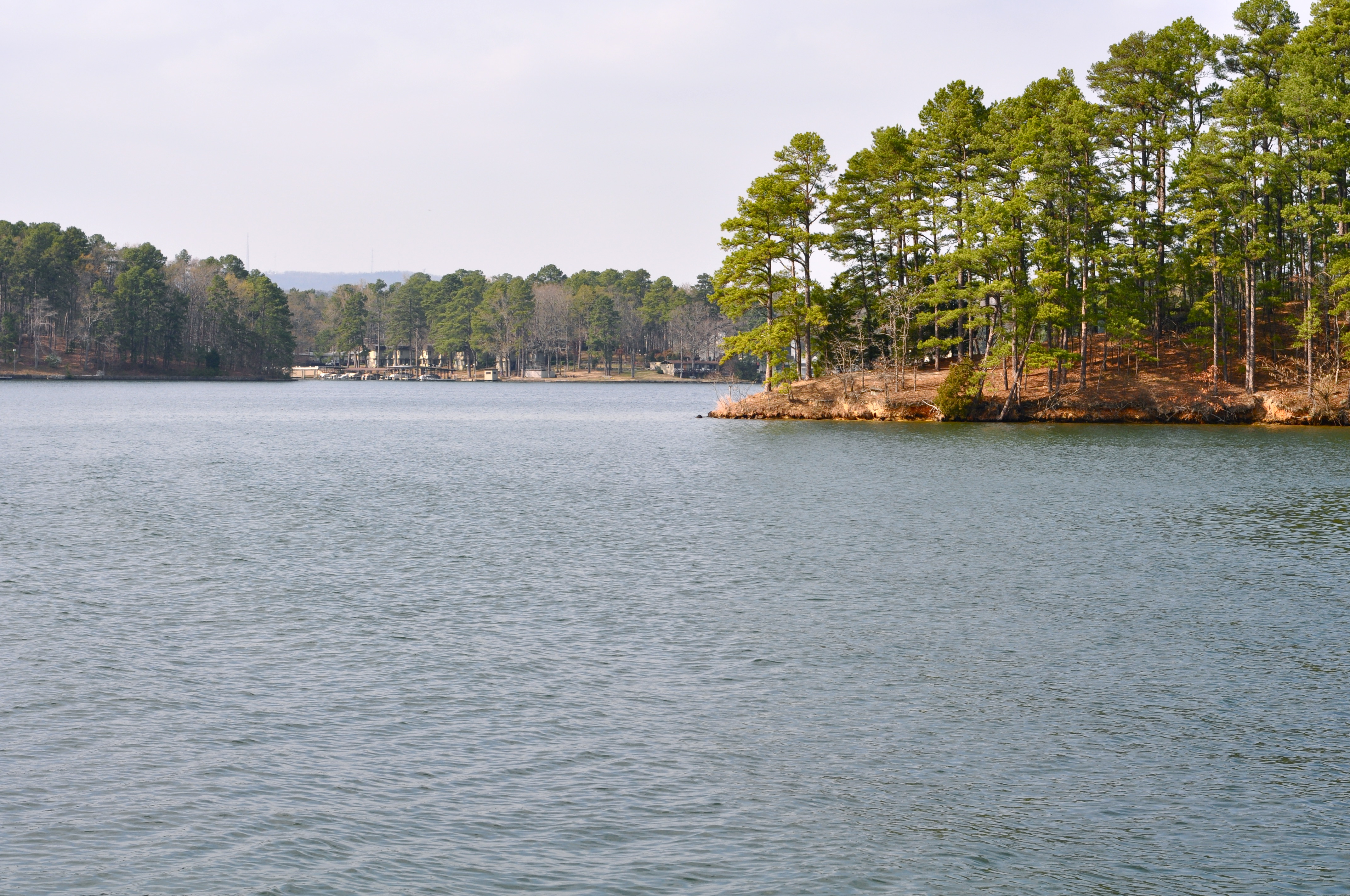
The park today covers 5,839 acres spanning Hot Springs Mountain, North Mountain, West Mountain, Sugarloaf Mountain, and Whittington Lake Park. The geology is straightforward but astonishing: heated rainwater, not volcanic activity, produces the springs. The water's composition -- mildly alkaline with dissolved calcium carbonate -- indicates it never approaches a magmatic source. The surrounding forest contains old-growth stands of shortleaf pine, blackjack oak, and white oak, with many trees over 130 years old and some exceeding 200 years. Plains bison, elk, cougar, and red wolf once roamed here but departed after European settlement. Today the park supports white-tailed deer, wild turkey, nine-banded armadillos, and migratory birds following the Mississippi Flyway. The Quapaw, who lived in the Arkansas River delta, visited these springs long before any European arrived. Their tradition of peaceful gathering at the thermal waters -- a place so valued that enemies would lay down their weapons to share it -- remains the most fitting description of what this park was always meant to be.
From the Air
Located at 34.51°N, 93.05°W in central Garland County, Arkansas. Hot Springs Memorial Field (KHOT) is approximately 4 nm south-southwest of the park. Little Rock's Clinton National Airport (KLIT) is about 45 nm northeast. The park is nestled in a narrow valley visible as a gap in the forested ridges of the eastern Ouachita Mountains. Hot Springs Mountain, North Mountain, and Sugarloaf Mountain frame the city. Bathhouse Row runs along Central Avenue in the valley bottom. The city's compact downtown is visible between the ridges. Lake Hamilton and Lake Catherine are prominent water features south and southeast of the city. Mountain terrain creates potential turbulence; approach with caution in gusty conditions. Best viewing from 3,000-5,000 feet AGL to see the valley-and-ridge setting.