Houston Ship Channel
In the 1820s, a schooner called Little Zoe dragged across the shallow Red Fish Bar in Galveston Bay, its crew recording hazard after hazard in a journal as they struggled upstream toward Buffalo Bayou. Nicholas Clopper had recruited six men from Ohio, loaded the boat with flour, spices, nails, whiskey, and tobacco, and sent his sons Edward and Joseph to trade with settlers on the Texas frontier. The waterway they fought through was barely navigable. Two centuries later, that same bayou -- widened, deepened, and straightened into the Houston Ship Channel -- carries ocean-going tankers and bulk carriers along a corridor that supports the second-largest petrochemical complex in the world.
A Hurricane Builds a Port
Buffalo Bayou had been used to move goods to the sea since at least 1836, but the waterway remained shallow and treacherous. Galveston, with its natural deep-water harbor, dominated Texas shipping. Then on September 8, 1900, the deadliest hurricane in American history slammed into Galveston Island, killing an estimated 6,000 to 12,000 people and devastating the port. The catastrophe reframed Buffalo Bayou as a safer long-term option -- an inland port, protected from Gulf storms. On January 10, 1910, Harris County residents voted 16 to 1 to fund dredging the channel to 25 feet, committing $1,250,000 that was matched by federal funds. Four years later, on June 14, 1914, the steamship Satilla became the first deepwater vessel to reach Houston, establishing service between New York City and the Texas coast. President Woodrow Wilson officially opened the Houston Ship Channel on November 10, 1914.
Digging Deeper, Reaching Further
The channel has never stopped growing. The U.S. Army Corps of Engineers deepened it from 25 to 30 feet in 1922. In 1933, the Department of War approved widening the Galveston Bay section from 250 to 400 feet and deepening the whole channel to 34 feet, with $2,800,000 from the Public Works Administration funding the project by late 1935. World War I's mechanized warfare had already made the channel vital -- the proximity to Texas oilfields drew petrochemical refineries to its banks, including the massive ExxonMobil Baytown Complex on the eastern bank of the San Jacinto River. During World War II, two shipyards at the confluence of Greens Bayou produced side by side: Todd Houston Shipbuilding turned out Liberty Ships while Brown Shipbuilding built destroyer escorts, submarine chasers, and amphibious landing craft. Today the channel is dredged to 43-45 feet, and Project 11, launched in 2022, aims to widen it to 700 feet and deepen segments to 46.5 feet.
Where History Meets Industry
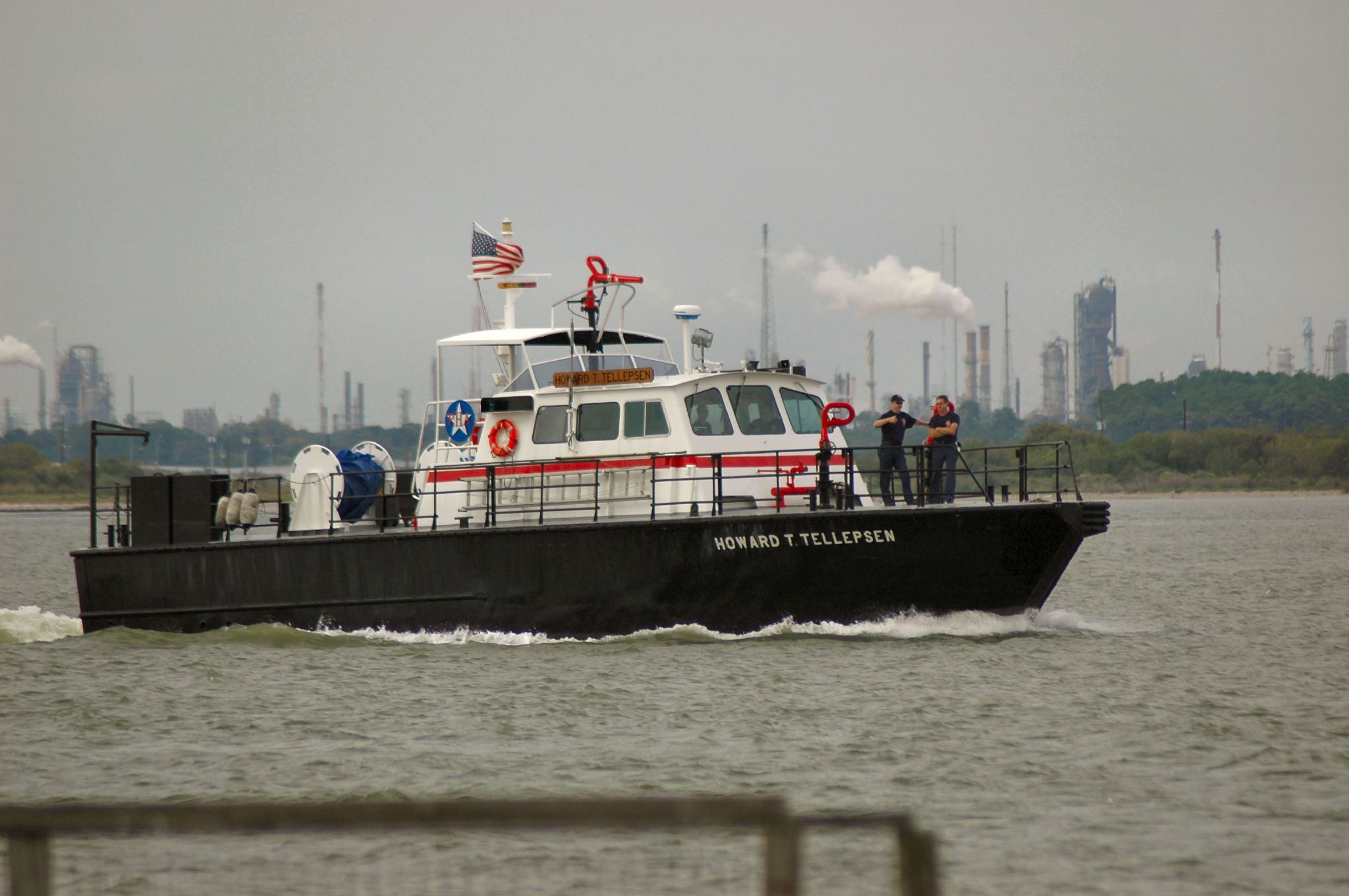
The channel runs through one of the most historically loaded landscapes in Texas. The San Jacinto Monument rises from the bank where, in 1836, Sam Houston's Texian army defeated Santa Anna in the eighteen-minute battle that won Texas its independence. From 1948 to 2022, the battleship USS Texas -- the oldest surviving dreadnought-era warship, a veteran of both world wars -- sat moored along the channel's path before being permanently relocated. The U.S. Army's San Jacinto Ordnance Depot operated on the channel from 1941 to 1964. In 1987, the American Society of Civil Engineers designated the Houston Ship Channel a National Civil Engineering Landmark, recognizing the audacity of turning a shallow prairie bayou into a corridor for the largest vessels afloat. The channel stretches from the Turning Basin, about four miles east of downtown Houston, all the way to the Gulf of Mexico between Galveston Island and the Bolivar Peninsula.
The Price of Proximity
The petrochemical infrastructure that made the channel an economic powerhouse has exacted a human cost that is still being measured. In 2007, the University of Texas released a study suggesting that children living near the Houston Ship Channel were 56 percent more likely to develop leukemia than the national average. In March 2014, a barge carrying nearly a million gallons of marine fuel oil collided with another vessel, spilling 168,000 gallons into Galveston Bay. A 2024 Amnesty International report found that more than 103,000 people live within three miles of facilities along the channel that had violated air pollution regulations 2,315 times over the previous two decades. In March 2025, the Texas Department of State Health Services confirmed greater-than-expected rates of leukemia, lung cancer, and bronchus cancer on Harris County's industrial east side. The communities of Channelview, Deer Park, and Pasadena sit in what Amnesty International called a 'sacrifice zone,' caught between the economic engine and its exhaust.
From the Air
Located at 29.71N, 95.01W, the Houston Ship Channel is one of the most visually striking industrial corridors visible from the air in Texas. The channel runs roughly 50 miles from the Turning Basin east of downtown Houston southeast through Galveston Bay to the Gulf of Mexico. At lower altitudes (1,500-3,000 ft AGL), the contrast between the dredged channel, petrochemical complexes, and the San Jacinto Monument is remarkable. Look for the dense cluster of refineries, storage tanks, and docks lining both banks. Nearest airports: KHOU (William P. Hobby Airport, 10 nm W), KEFD (Ellington Field, 8 nm S), KIAH (George Bush Intercontinental, 25 nm N).
Sources
- Wikipedia - Houston Ship Channel
- Wikipedia - 1900 Galveston hurricane
- Port Houston - Houston Ship Channel Expansion Project 11
- Amnesty International - Houston Ship Channel sacrifice zone report 2024
- NBC News - Texas study links pollution and child cancer (2007)
- NOAA - Kirby Barge Oil Spill March 2014
- Houston Public Media - DSHS cancer cluster report February 2025