Huambo
They called it Nova Lisboa -- New Lisbon -- and they meant it. In 1912, Portuguese General Norton de Matos sat in the Quibala fortress sketching plans for a city that would become Angola's new capital: a monumental rotunda ringed by government buildings, formal gardens at its centre, a commercial grid laid out with European precision on the Central Highlands. More than a century later, the rotunda still anchors the city, but the bullet holes in its surrounding facades tell a story the general never imagined.
The Ovimbundu Heartland
Long before the Portuguese arrived, the Central Highlands belonged to the Ovimbundu people. Speakers of Umbundu, they organized themselves into independent kingdoms and proved formidable traders, building commercial networks that stretched from the port town of Benguela eastward into what is now the Democratic Republic of Congo's Katanga province and across into Zambia. When the Portuguese made contact in the 1500s, they found not the isolated villages they might have expected but a sophisticated trading civilization already doing business across half a continent. The shift from commerce to conquest came at the turn of the twentieth century, and Huambo city rose in the immediate aftermath -- a colonial capital imposed on a landscape that had governed itself for centuries.
A Capital That Never Was
Norton de Matos designed Huambo with the confidence of empire. The Portuguese-style layout -- radiating avenues, a monumental centre, distinct commercial and residential quarters -- was meant to project permanence and authority. For decades, it did. Nova Lisboa grew into one of Angola's largest cities, rivaling Lubango and the Lobito-Benguela corridor in population and economic weight. But independence in 1975 brought civil war, and the war found Huambo. The fighting between the MPLA government forces and Jonas Savimbi's UNITA rebels devastated the colonial centre. Buildings that had survived sixty years of tropical weather could not survive artillery. By the time the war ended in 2002, most structures in the city bore bullet holes like a second skin.
Rebuilding on the Grid
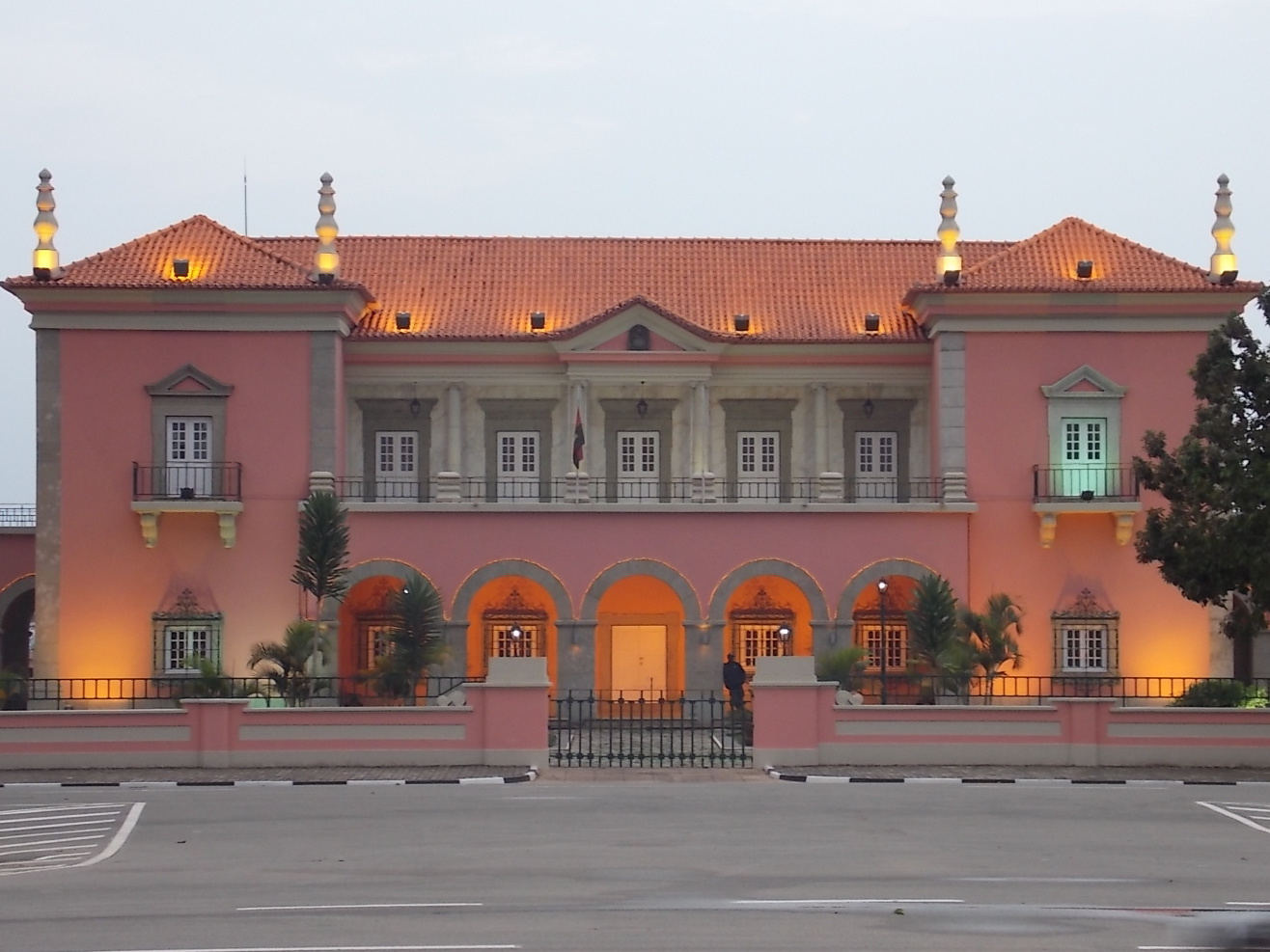
The reconstruction has been rapid and deliberate. The current government rehabilitated the colonial centre quickly, layering an Angolan identity over the Portuguese bones -- new paint on old facades, local businesses filling European-style arcades. The beautiful central gardens have been restored, and the grid street plan that Norton de Matos imposed still organizes the commercial district. Walk from the Cidade Alta to the Cidade Baixa and the stroll takes about thirty minutes, a distance that makes Huambo's centre unusually walkable for an Angolan city. The Jardim da Cultura, near the old government quarter, has become a gathering place surrounded by restaurants and the metal statues from the Portuguese era that somehow survived the shelling.
The Bairros Beyond
Outside the colonial grid, the story changes. Huambo's bairros -- the informal neighborhoods that swelled with refugees during the war years -- surround the old centre in a sprawl of packed-dirt roads and improvised housing. These districts are crowded and unplanned, a physical record of displacement. Each month brings incremental improvement: new roads paved, more houses connected to city electricity, another stretch of infrastructure repaired. But the gap between the restored colonial core and the bairros beyond it remains Huambo's defining tension, a city rebuilding itself from the centre outward while its edges wait their turn.
Getting There, Getting Around
Aeroporto Albano Machado sits 3.5 kilometres south of the city centre, served by TAAG flights from Luanda and less frequent connections from Lubango and Ondjiva. The Caminho de Ferro Benguela railway links Huambo to Kuito and Benguela, though schedules remain fluid as repair work continues on the line. By road, Luanda is roughly eight hours north. The most common way to navigate Huambo itself is by motorcycle taxi -- they cluster at every corner, and bargaining is expected. For those willing to walk, the highland climate cooperates: temperatures stay mild year-round, and the air at this altitude carries a freshness that the coastal cities cannot match.
From the Air
Located at 12.77S, 15.73E on Angola's Central Highlands. Aeroporto Albano Machado (FNHU) is 3.5 km south of the city centre. The city's Portuguese grid layout and central rotunda are visible from moderate altitude. The Benguela Railway corridor is traceable east-west. Recommended viewing at 5,000-8,000 feet. Highland climate provides generally clear conditions.