Humptulips River
Nobody forgets the name. Humptulips -- say it once and it sticks. The word comes from the Humptulips Indians, part of the Chehalis tribe, and depending on which source you trust, it means either "hard to pole" or "chilly region." Both descriptions fit. The river pushes through some of the wettest terrain in the continental United States, where the Olympic Peninsula wrings 220 inches of precipitation from Pacific storms each year, and its currents have never been easy to navigate. The USGS has recorded at least five variant spellings -- Hum-tu-lups, Humptolups, Humtutup, Um-ta-lah -- as if the river itself resists being pinned down.
Two Forks, One River
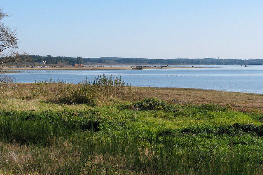
The Humptulips begins as two rivers. The West Fork runs about 30 miles through the Olympic National Forest, separated from the Quinault River to the north by Quinault Ridge. The East Fork stretches roughly 20 miles, divided from the Wynoochee River by Fitzgerald Peak. Humptulips Ridge stands between them. Both forks drain a landscape saturated with rainfall -- moss-draped old growth, understory ferns taller than a person, and streams that multiply with every storm. The forks merge about 4.5 miles above the town of Humptulips, and from there the main river flows another 20 miles south and southwest, crossing under U.S. Route 101 before emptying into the North Bay of Grays Harbor and, ultimately, the Pacific Ocean.
The Sound of Falling Water
The numbers tell the story of a river shaped by extremes. Its drainage basin covers 276 square miles. Average discharge runs at 1,344 cubic feet per second -- respectable for a river of its length -- but the range is staggering. In November 2006, the Humptulips surged to a recorded maximum of 37,500 cubic feet per second, a torrent fed by the kind of atmospheric river event that can dump several inches of rain in a single day. At the other end, a September measurement in 1944 found the river barely trickling at 82 cubic feet per second. Between these poles, the Humptulips pulses with a seasonal rhythm: swollen and muscular through winter, quieter in the dry months, always responsive to whatever the sky delivers.
Thirty Dams and What They Cost
Logging arrived on the Humptulips the way it arrived everywhere on the Olympic Peninsula -- aggressively. Most of the land in the drainage basin became commercial forest, and loggers built roughly thirty splash dams along the river to drive felled timber downstream. Splash dams worked by pooling water behind a temporary barrier, then releasing it in a violent flush that carried logs toward the mills. They were efficient and devastating. The surges scoured streambeds, destroyed spawning gravel, and ripped apart the side channels where juvenile salmon sheltered. Native salmon runs were decimated. The damage was not subtle, and it was not temporary. Decades later, the river's habitat still bears the scars of those engineered floods.
Salmon and Second Chances
The Humptulips Salmon Hatchery sits just below the town, at the mouth of Stevens Creek. It is one of several hatcheries built along the river in an attempt to restore what the splash dams destroyed. The effort has had real effect: today the Humptulips supports returning runs of chinook, coho, and chum salmon, along with steelhead and sea-run cutthroat trout. Fishing guides run drift boats through the lower river every fall, and anglers come from across western Washington for what has become one of the region's more productive salmon fisheries. The upper West Fork, meanwhile, remains outstanding anadromous habitat -- the kind of cold, clean, structurally complex water that salmon need. Recovery is incomplete and ongoing, but the fish are back, and the river still knows what to do with 220 inches of rain.
From the Air
Located at 47.041N, 124.054W in Grays Harbor County, Washington. The river is a visible silver thread winding from the Olympic foothills to Grays Harbor. Nearest airport is Bowerman Field (KHQM) in Hoquiam, approximately 10 miles to the southeast. The East and West Forks are visible in the forested uplands, merging near the small town of Humptulips along U.S. Route 101. Grays Harbor and the Pacific coastline provide orientation. Recommended viewing altitude: 2,000-4,000 feet AGL to trace the full river course through forest and lowland.