Hunze
Around the year 1400, the city of Groningen dammed the Hunze at Roodehaan and dug a new channel called the Schuitendiep to carry the river's flow into the city instead. The reasoning was commercial: with the river redirected, Groningen would control the trade route to the peat fields of the east, and could tax every barge of turf coming out of them. The Hunze's old course was abandoned, slowly silted in, and largely forgotten. Six centuries later, the Groninger Landscape Foundation, the Drentse Landscape Foundation, and the Worldwide Fund for Nature published a plan called Hunzevisie - a vision for putting the river back. Not all of it. Not all at once. But meander by meander, polder by polder, over a thirty-year window, the Hunze is being persuaded to flow the way it used to.
Older Than Anything
The Hunze valley is geologically ancient by Dutch standards. The cut itself probably opened during the Saale glaciation, the penultimate ice age, sometime between 236,000 and 124,000 years ago, when continental ice flowing across what is now the Netherlands changed direction and gouged a wide channel into the bedrock. The original valley was 15 kilometers across and 50 meters deep. Sand from later glacial periods filled most of it back in. The Hunze that exists today is a small stream running through what was once a great glacial trough, and the geology is still legible if you know what to look for: the abrupt western boundary of the valley, the depressions in the surrounding peat, the absence of any village in Drenthe directly bordering the original course because the riverbed was once a marsh too wet to live next to.
The Name and the Mud
The name Hunze means, more or less, 'mud stream' - hun being an old word for marsh or boggy ground. The historical Hunsingo region of northern Groningen takes its name from the same root, and from the same river. For most of recorded history the Hunze rose in the bogs east of the Hondsrug ridge, meandered north past Gasselte and through the swamps of Drenthe, fed into the Zuidlaardermeer lake, and then continued north as the Drentsche Diep through the wetlands toward the city of Groningen. From there it ran on to the Wadden Sea, splitting at the village of Schouwerzijl into a northern branch that reached the sea near Pieterburen and a western branch that reached the sea near Zoutkamp via the old Lauwerszee. The whole route is roughly seventy kilometers of low, slow water through some of the wettest country in northwestern Europe.
The Engineers Arrive
From the year 1400 onward, the Hunze stopped being a river and started being an asset. The city of Groningen dammed it, redirected it, dug new channels through its old course, and eventually replaced its lower reaches entirely with the Reitdiep canal in the mid-seventeenth century. Mill operators cut off meanders to speed the flow. Farmers reclaimed the surrounding wetlands as polder. By the twentieth century, what survived of the Hunze had been canalized in long straight reaches, the bends and oxbows that had once defined it bypassed and forgotten. The river was useful. It was also barely a river anymore - a working drainage line through farmland, with the old course visible mostly in aerial photographs and in the gentle bends of the city streets that had been laid out along its banks centuries earlier.
The Vision
Hunzevisie, published in 1995, started small. The province of Drenthe and the municipalities of Aa en Hunze, Borger-Odoorn, and Tynaarlo began restoring meanders in the Drenthe section of the river - reconnecting old bends, removing dikes that had separated the channel from its floodplain, letting the water find something closer to its original path. In October 2014, workers on the project near the hamlet of Gieterveen dug up the remains of an old floodgate that had been buried for centuries. In Groningen province, new nature reserves like the Kropswolderbuitenpolder and the Westerbroekstermadepolder gave the Hunze room to breathe again north of the Zuidlaardermeer. The 2014 update, Hunzevisie 2030, added the most ambitious goal yet: returning the Hunze all the way to the Wadden Sea. In 2023 the municipality of Groningen joined in with a vision of its own, calling for any new development in the river's footprint to include restoration as part of the plan.
What a Restored River Looks Like
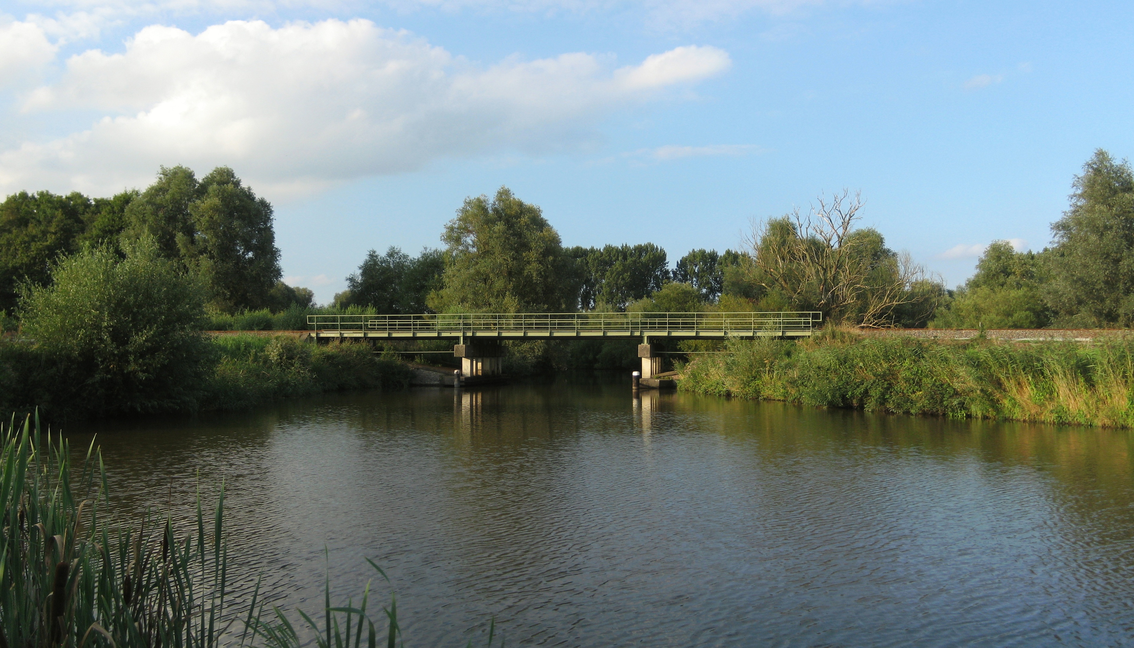
Walk along the Hunze in the Drenthe section today and the work is visible in pieces. A new oxbow loops away from a recently straightened channel. A reed bed that did not exist twenty years ago hides a heron. A bicycle and foot ferry at Meerwijck carries cyclists across the river where it exits the Zuidlaardermeer. The polder mill De Biks turns slowly behind a stretch of the Drentsche Diep, doing the same drainage work mills have done in the valley for centuries - but increasingly in service of letting some of the water stay, rather than pushing all of it away. The full plan runs to 2030 and beyond. A river that took six centuries to be domesticated will take decades to be allowed back. Most of the people who started the project will not see it finished. The river is patient, and the project is built that way too.
From the Air
The Hunze runs roughly north-south through Drenthe and Groningen provinces, centered on about 53.1°N, 6.7°E. From cruising altitude in clear weather the river is visible as a sinuous green corridor through agricultural land, with the Zuidlaardermeer lake forming a bright reflective break in the middle of its course. The Hondsrug ridge runs parallel to the west. Nearest airport is Groningen Airport Eelde (EHGG), directly between the Hondsrug and the Hunze valley.