Hyogo-ku, Kobe
Write "weapons warehouse" in kanji and you get Hyogo -- the name of a Kobe ward that has been storing up history for over a thousand years. In the 8th century, this natural harbor on the Wadamisaki Peninsula became the gateway to the Seto Inland Sea. In 1180, the warlord Taira no Kiyomori made it the capital of all Japan, if only for six months. During the Edo period's 250-year isolation, the port kept domestic trade flowing under the Shogunate's direct eye. And when Japan finally opened to the world in 1868, Hyogo's harbor was among the first to welcome foreign ships. The ward's 14.68 square kilometers hold more pivotal turning points per hectare than almost anywhere in the country.
Six Months as the Center of the World
In the summer of 1180, Taira no Kiyomori -- the most powerful man in Japan -- moved Emperor Antoku and the entire Imperial court from Kyoto to his stronghold at Fukuhara, in what is now Hyogo-ku. Kiyomori wanted access to the Inland Sea and its lucrative China trade routes, and he had the military force to make it happen. A vast procession of nobles, courtiers, and the two retired emperors followed the young sovereign westward. Government offices reopened in mansions originally built for the Taira clan. But the nobles despised the damp port weather and yearned for Kyoto. Within six months, the court returned east. The Kiyomori-zuka, a stone monument erected shortly after his death, still stands in the gardens of a shrine beside the bridge that bears his name.
A Fortress Against the West
When the Tokugawa shoguns sealed Japan off from the outside world, Hyogo Port remained vital for coastal trade, important enough to warrant direct administration by the Osaka machi-bugyo. As Western colonial ambitions pressed closer in the mid-19th century, the Shogunate fortified the harbor. Count Katsu Kaishu designed the Wadamisaki Battery, one of six land batteries ringing Osaka Bay. Completed in 1864 after eighteen months of construction at a cost of 25,000 ryo, the battery's outer walls were granite quarried from the Shiwaku Islands, and its inner two-story structure was built of keyaki elm harvested from the Nunobiki and Tekkai mountains behind Kobe. The fortification came too late to prevent change: in 1868, Hyogo became one of the first Japanese ports opened to foreign vessels, ending two and a half centuries of national isolation.
When Residents Waved at the Wrong Plane
On April 18, 1942, a single B-25 bomber appeared over Kobe as part of the Doolittle Raid, America's audacious first strike against the Japanese home islands. No one in Kobe expected it. Japan's military was conquering Southeast Asia, and the idea of a foreign aircraft over the homeland seemed impossible. Some Hyogo residents waved flags at the plane overhead, mistaking it for a friendly craft. One resident of the ward became the sole fatality of that day's bombing. Three years later, the cost would be incomparably higher. On February 4, 1945, Kobe became the target of the first successful firebombing raid against Japan, with incendiary cluster bombs centered on Hyogo and Minato wards. Hyogo suffered the highest toll in both lives lost and buildings destroyed. Among the five major Japanese cities bombed during the war, Kobe recorded the highest fatality rate.
Canals, Festivals, and the Western Asakusa
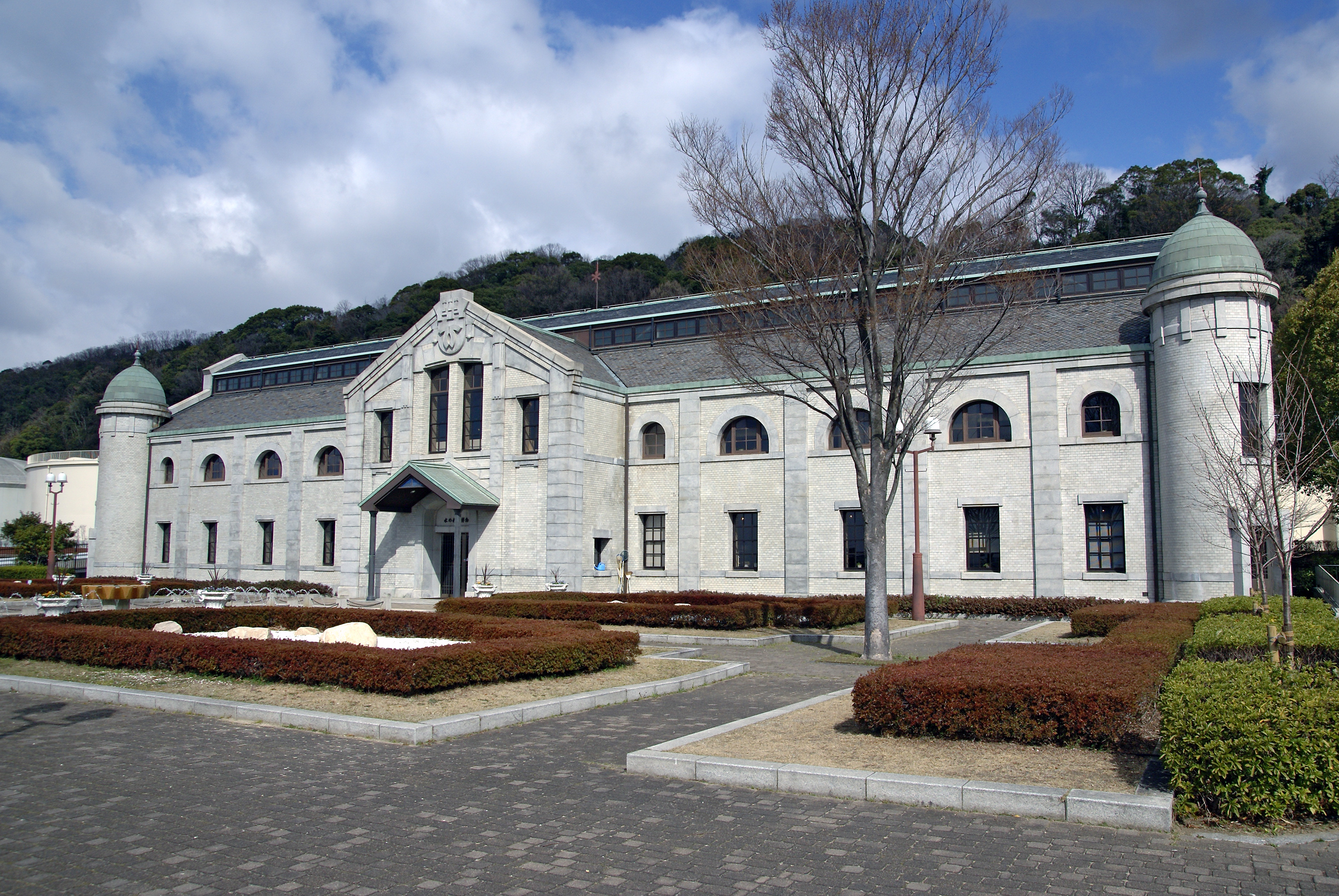
The ward's southern districts are threaded with the Hyogo Canals, planned in the 1870s and completed in 1899, forming one of Japan's largest urban canal networks. Before the war, the Shinkaichi district in eastern Hyogo earned the nickname "Western Asakusa" for its concentration of cinemas, theaters, and restaurants -- an entertainment hub rivaling Tokyo's famous district. Today the ward blends industrial might and cultural tradition. Kawasaki Heavy Industries, Mitsubishi Electric, and Mitsubishi Heavy Industries all maintain manufacturing facilities here. Meanwhile, the Yanagihara Ebisu Shrine hosts the annual Toka-Ebisu festival each January, where thousands pray to the Shinto god of commerce for business success. The ward's floral emblem is the pansy, a modest flower for a place with an immodest history.
From the Air
Located at 34.676N, 135.167E on the north shore of Osaka Bay, centered on the Wadamisaki Peninsula. Best viewed from 3,000-5,000 ft approaching from the south over the bay. The Hyogo Canals are visible as a network threading through the southern districts. Kobe Airport (RJBE) sits on its artificial island approximately 5 km to the southeast. Osaka Itami Airport (RJOO) is about 25 km to the northeast. The Akashi Strait is visible to the west, connecting Osaka Bay to the Seto Inland Sea. Major industrial facilities of Kawasaki and Mitsubishi line the waterfront.