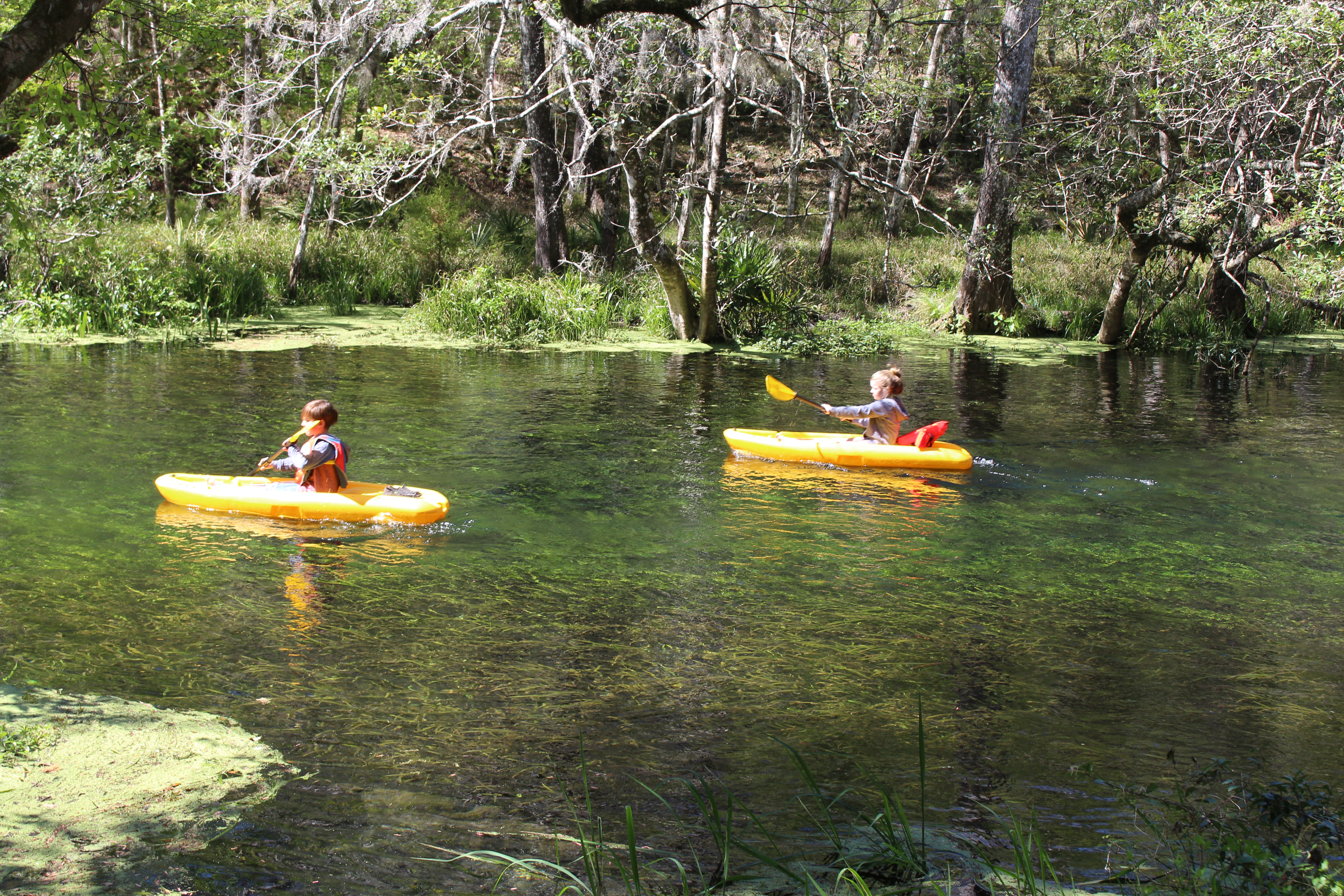
Ichetucknee Springs State Park
The water rising from the limestone at Ichetucknee Springs holds steady near 72 degrees Fahrenheit, year-round, regardless of what the Florida sun is doing overhead. That constancy is the river's defining trait: a six-mile ribbon of spring-fed clarity flowing through hardwood hammocks and wetlands before merging with the Santa Fe River. In the 1950s and 1960s, University of Florida students from nearby Gainesville discovered they could ride innertubes down that ribbon, and a summer ritual was born that has drawn thousands to this stretch of Columbia County every year since.
Water from the Deep
The Ichetucknee River is fed by multiple named springs -- Blue Hole, Mission, Devil's Eye, and the headspring itself -- all boiling up from the Floridan Aquifer through gaps in the underlying limestone. The water emerges so clear that the riverbed looks like it is covered in glass. Hardwood hammock forest canopies the banks, casting dappled shade over limestone outcrops and wetlands. The park encompasses about 2,669 acres of this landscape, designated a National Natural Landmark in 1972 for its outstanding geological and ecological significance. Long before park boundaries existed, phosphate prospectors dug through this ground with mules and wheelbarrows at the turn of the twentieth century, extracting ore from the same limestone that channels the springs today.
From Phosphate to Paradise
Through the 1950s and 1960s, the Loncala Phosphate Company owned the land surrounding the springs. It was during this era that tubing took hold -- college students from Gainesville made the drive northwest to Fort White, inflated their tubes, and floated the Ichetucknee in what became an annual warm-weather tradition. By 1970, the sheer popularity of the river had raised concerns about the fragile spring-run ecosystem. Loncala sold the property to the State of Florida for $1,850,000, and the park that emerged was cleaned up, outfitted with facilities, and formally recognized as a National Natural Landmark two years later. Today, a tram service operates between Memorial Day and Labor Day, shuttling tubers from the take-out point back to the start, while the park limits daily visitor counts to protect the springs.
Ghosts of San Martin
Centuries before the first innertube touched this water, the Ichetucknee was home to the Timucua people and their Spanish missionary partners. Archaeologists have identified a seventeenth-century mission site in the park, near a short tributary connecting Fig Springs to the main river, roughly a quarter mile downstream from the headspring. The site has been provisionally identified as San Martin de Timucua, occupied during the first half of the 1600s. Plans once existed to reconstruct the mission as a public interpretive site, but they were eventually abandoned. What remains is the knowledge that this spring-fed corridor has drawn human settlement for at least four centuries -- and likely far longer.
A River You Can Read
What makes the Ichetucknee remarkable from any vantage -- on foot, in a tube, or from the air -- is its transparency. The spring water is so clear that snorkelers can read the geological record of the riverbed as they drift: limestone shelves, sand boils, submerged vegetation swaying in the current. Blue Hole Spring is perhaps the most dramatic, a deep azure pool where the aquifer vents into a bowl of exposed rock. The park's trail system connects the major springs on foot, winding through hammock forest where barred owls call and turtles line every fallen log. From above, the river appears as a thin emerald thread cutting through dense canopy, its clarity distinguishing it immediately from the tannic blackwater streams common elsewhere in North Florida.
From the Air
Located at 29.967N, 82.776W, approximately 25 nm northwest of Gainesville, Florida. The spring-fed Ichetucknee River is visible as a narrow, unusually clear waterway running through dense hardwood canopy, joining the Santa Fe River to the south. Nearest airports: Gainesville Regional Airport (KGNV) ~25 nm southeast, Lake City Gateway Airport (KLCQ) ~15 nm northeast. Best viewed at low altitude (1,500-3,000 ft AGL) for spring clarity. The park is located northwest of Fort White off State Road 47.