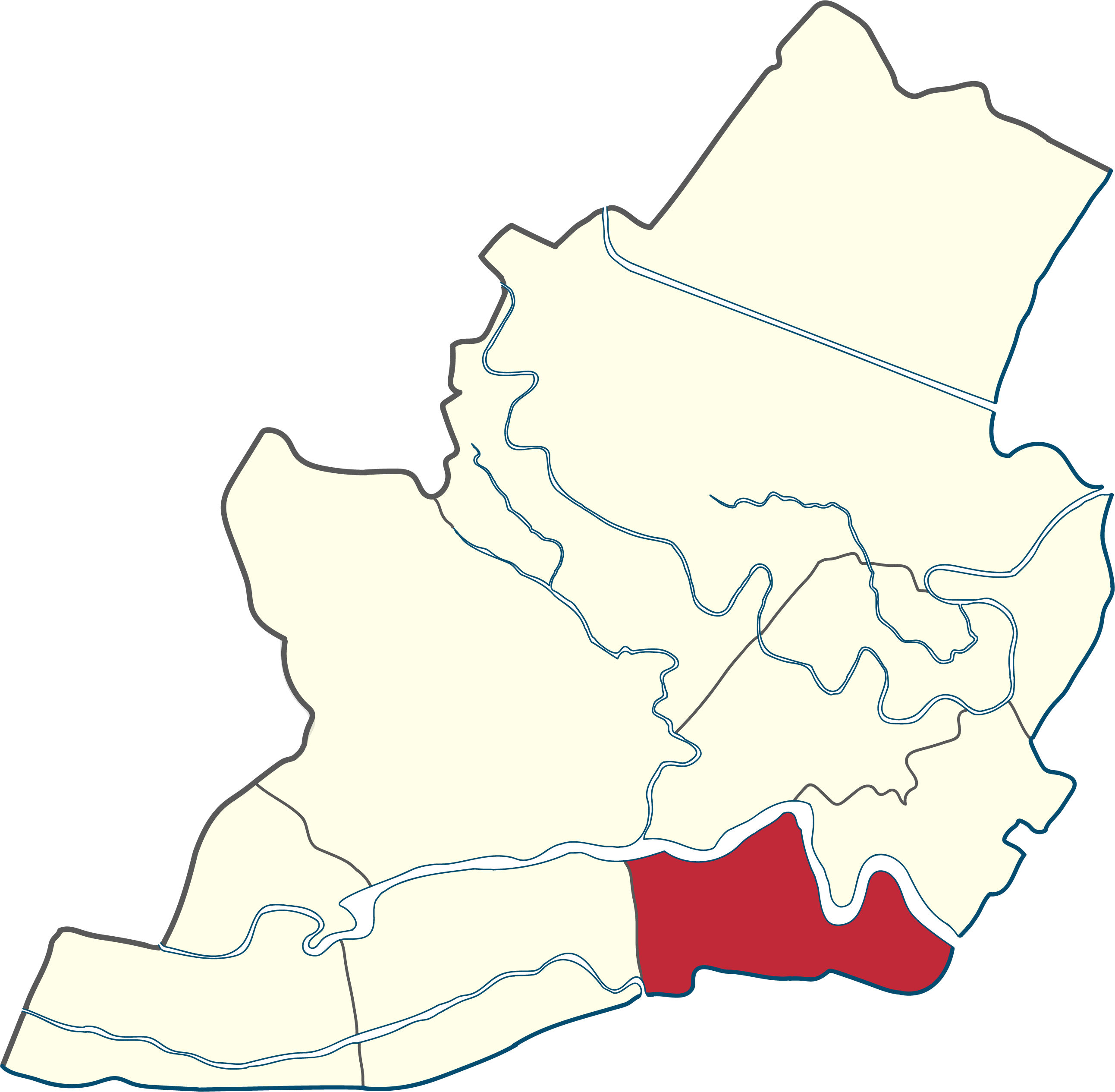
Iloilo City Proper
In 1889, a royal decree from Spain bestowed upon this settlement the title La Muy Leal y Noble Ciudad, The Most Loyal and Noble City. Nine years later, that loyalty would prove ironic: in 1898, Iloilo became the last capital of the Spanish Empire in Asia and the Pacific when the flag of the first Philippine Republic was raised at Plaza Libertad after Spain's surrender. Iloilo City Proper, the oldest core of what is now Iloilo City, has been the seat of both colonial authority and revolutionary defiance, and its streets still carry the evidence of both.
Founded on Trade
Established in 1602, Iloilo City Proper gained formal cityhood status on October 5, 1889, through a royal decree. Before its consolidation with surrounding municipalities, the district was the original city, the old town from which modern Iloilo expanded. Its position on the southeastern coast of Panay Island, at the mouth of the Iloilo River where it meets the Iloilo Strait, made it a natural harbor for the maritime trade that enriched the Visayas during the Spanish era. The port connected the sugar plantations and textile workshops of the interior to the global market, and the wealth that flowed through this narrow waterfront district expressed itself in the buildings that still line its streets. Today, Iloilo City Proper hosts the seat of both city and provincial government, along with regional offices, making it the administrative center of Iloilo province and the broader Western Visayas region.
Calle Real and the Architecture of Ambition
J.M. Basa Street, universally known as Calle Real, is the spine of the district. The heritage zone that surrounds it contains some of the finest examples of American-era neoclassical, beaux-arts, and art deco architecture in the Philippines. The street was the main commercial thoroughfare during the Spanish period and continued to serve as the city's premier shopping destination for more than a century. The buildings along it, the Eusebio Villanueva Building, the Elizalde Building housing the Museum of Philippine Economic History, and the former Regent Theatre among them, represent successive waves of commercial confidence rendered in stone. Plaza Libertad anchors the western end, flanked by the Iloilo Masonic Temple and the new Iloilo City Hall. San Jose de Placer Church, the first church built in the city in 1607, remains standing in the district, tying the commercial present to the ecclesiastical past.
Forty-Five Barangays
Iloilo City Proper is subdivided into 45 barangays, more than any other district in the city, a reflection of the dense, layered settlement patterns that accumulate over four centuries of continuous habitation. Names like Arsenal Aduana, Muelle Loney-Montes, and Rizal Estanzuela preserve the district's maritime and colonial heritage in their syllables. The 2024 census recorded a population of 47,231 in the district. Modern jeepneys now ply routes through these neighborhoods alongside pedicabs and tricycles. The University of the Philippines Visayas, founded in 1947, occupies the former Iloilo City Hall building. The University of San Agustin, the first university in Western Visayas, dates to 1904. These institutions coexist with elementary schools and specialty academies in a district where education and governance have been neighbors since the Spanish period.
Rails, Runways, and the River
From 1907 until the 1980s, Panay Railways operated a railroad line running from Roxas City to the port area of Iloilo City Proper, threading the district into a regional network that connected northern Panay to the coast. The railway went dormant but never disappeared entirely. In 2022, Panay Railways announced its openness to foreign ownership to reconstruct the former train lines, raising the possibility of reconnecting the district to cities across Panay, including Caticlan and the gateway to Boracay. The Iloilo International Airport in Cabatuan serves as the district's air connection, while ferry services link the waterfront to Guimaras Island and other Visayan destinations. The Iloilo River, once the reason for the settlement's existence, continues to shape the district's geography, its mouth opening onto the strait that separates Panay from Guimaras.
From the Air
Coordinates: 10.695N, 122.565E, on the southeastern coast of Panay Island in the Western Visayas. Iloilo City Proper occupies the historic waterfront core along the Iloilo River and Iloilo Strait. Nearest major airport: RPVI (Iloilo International Airport) approximately 19 km north in Santa Barbara/Cabatuan. From altitude, the dense urban grid of the old downtown is visible along the coast, with Guimaras Island across the narrow strait to the south. The Iloilo River mouth and port area are clearly identifiable landmarks.