The Emperor's Tomb That Bureaucracy Forgot
Most imperial tombs in Japan are sealed behind fences and guarded by the Imperial Household Agency. You cannot enter them, excavate them, or even walk their perimeters. Imashirozuka Kofun is the exception that proves how strange the rules are. This enormous keyhole-shaped burial mound -- 190 meters long, surrounded by a double moat, the largest kofun in the entire Yodo River basin -- is almost certainly the resting place of Emperor Keitai, the 26th sovereign of Japan. Historians and archaeologists agree. Ancient texts agree. The haniwa clay figures pulled from its moats tell the story of a sixth-century great king. But the Imperial Household Agency assigned Keitai to a different, smaller tomb 1.3 kilometers to the west decades ago, and it will not revisit the decision. The result is a bureaucratic accident that turned into a gift: one of the only imperial-scale burial mounds in Japan that you can actually climb.
A Keyhole Fit for a King
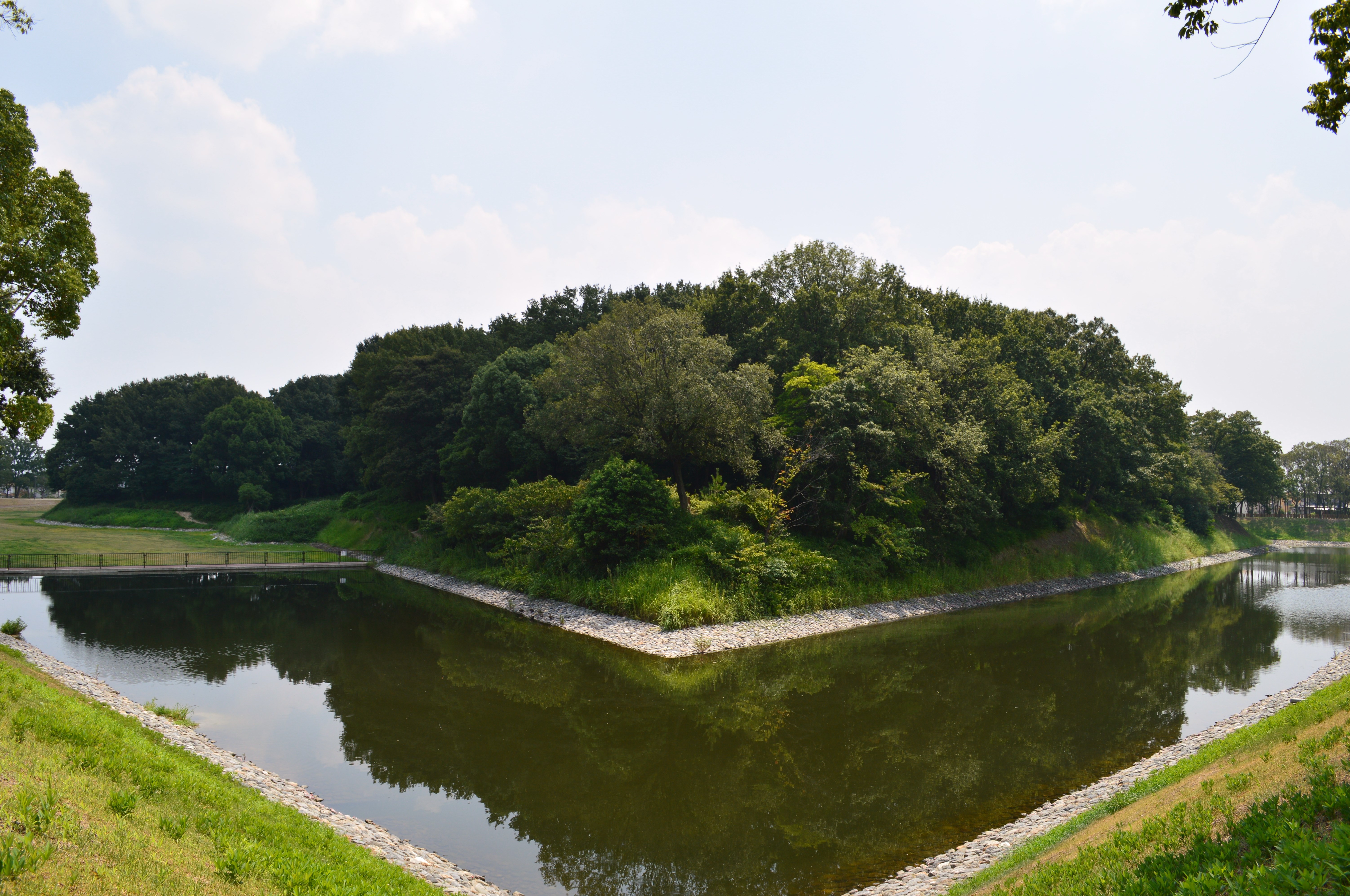
Seen from the air, Imashirozuka Kofun is unmistakable -- a vast keyhole shape cut into the Mishima Plain near the center of Takatsuki, oriented to the west. The main mound stretches 190 meters, flanked by smaller auxiliary tumuli called baicho. A double moat once encircled the entire complex, making the total footprint 350 meters long and 340 meters wide. The mound's shape, scale, and construction all point to the early sixth century, the period of the Kofun era when Japan's ruling elite built monumental tombs to project power across the landscape. References in the Kojiki, the Nihon Shoki, and the Engishiki -- three of Japan's most important historical texts -- describe Emperor Keitai's burial at a site called Mishima Aino Misasagi. The geography fits. The archaeology fits. The timeline fits. A committee of historians and archaeologists formally recommended that Imashirozuka be designated Keitai's tomb. The Imperial Household Agency, having already committed to the nearby Ota Chausuyama Kofun -- a mound dating to the mid-fifth century, decades before Keitai's reign -- declined.
Warriors, Falconers, and the Largest House in Clay
Since 1997, the city of Takatsuki has conducted systematic archaeological excavations to develop the site into a public park. What they have pulled from the earth reads like an inventory of sixth-century court life. Haniwa -- the hollow clay figures placed on and around kofun as ritual guardians -- have emerged in extraordinary variety: warriors in armor, falconers with birds on their wrists, sumo wrestlers in mid-grapple, shrine maidens, seated boys, horses, chickens, and other animals. The most remarkable find is a house-shaped haniwa standing 170 centimeters tall, the largest ever discovered in Japan. Most of these figures were recovered from the inner levee dividing the two moats, where they once stood in rows, a silent audience arranged around the tomb. Many of the artifacts are now on display at the Imashirozuka Ancient History Museum adjacent to the site.
Earthquakes, Warlords, and a Mound That Endured
For centuries, the damage to Imashirozuka was blamed on Oda Nobunaga, the sixteenth-century warlord who built a fortress on the site during his 1568 invasion of Settsu Province to attack the Miyoshi clan. The story made sense -- Nobunaga was not known for respecting ancient monuments. But archaeological evidence tells a different story. The mound's collapse pattern matches a landslide triggered by the devastating 1596 Keicho-Fushimi earthquake, not deliberate military construction. The earthquake, which struck the Kinai region with tremendous force, caused the earthen mound to slump and partially disintegrate. Nobunaga's fortress may have used the already-damaged terrain, but the earthquake came first. The distinction matters: the tomb was not destroyed by human disrespect, but by the same tectonic forces that shape all of Japan.
Where the Kilns Fired
About 1.5 kilometers west of the main tomb lies the Araike haniwa production site, one of the oldest and largest clay figure workshops ever found in Japan. Operating from the mid-fifth to the mid-sixth century -- roughly a hundred years -- the complex included three large workshops, 18 kilns, and an entire village for the craftspeople who made the figures. The scale suggests that Araike supplied haniwa not just for Imashirozuka but for multiple tombs across the region. The site was added to the National Historic Site designation in 2006, expanding the protected area to include the full production chain: the kilns where the clay was fired, the workshops where the figures were shaped, and the tomb where they stood watch. A 25-minute walk from Settsu-Tonda Station on the JR West Kyoto Line brings you to one of Japan's most accessible windows into the world of its ancient rulers.
From the Air
Located at 34.85°N, 135.59°E on the Mishima Plain in Takatsuki, between Osaka and Kyoto. From altitude, the keyhole-shaped mound and its double moat are visible as a distinctive green outline amid the urban grid. Osaka International Airport (Itami, RJOO) is approximately 8 nautical miles to the southwest. Kansai International Airport (RJBB) is roughly 40 nautical miles to the south. Best viewed at 1,500-3,000 feet AGL; the keyhole shape becomes most apparent looking straight down. The Yodo River runs east-west to the south and serves as a useful navigation landmark between Osaka and Kyoto.