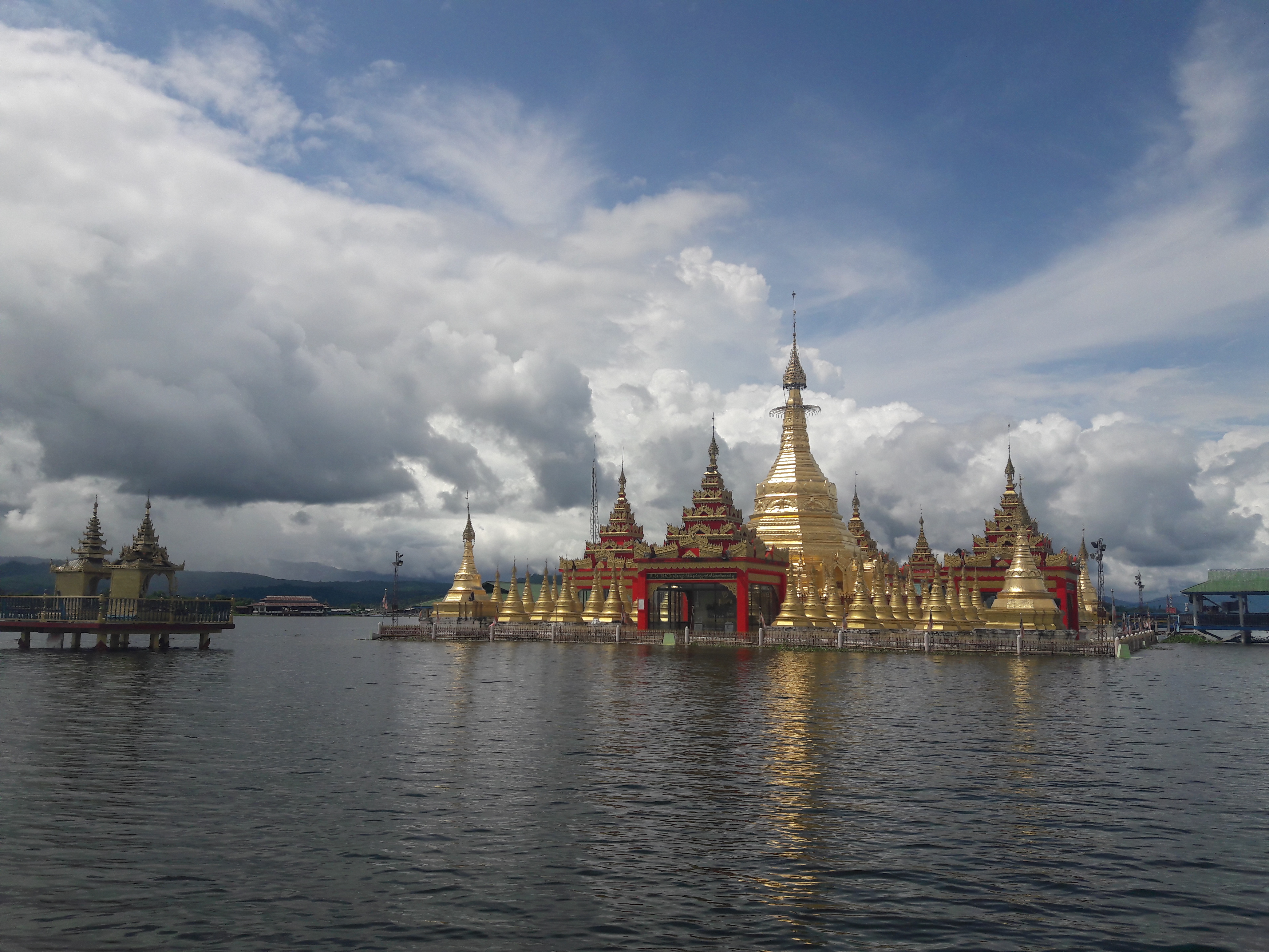
Indawgyi Lake
Local stories say the valley was fertile farmland until the earth cracked open. An earthquake along the Sagaing Fault -- the same active strike-slip fault that runs the length of Myanmar -- dropped the valley floor and the water rushed in, drowning a village and its inhabitants. Whether the lake formed from subsidence or a landslide remains unclear, but the result is undeniable: Indawgyi Lake, stretching 24 kilometers north to south and 13 kilometers east to west in Kachin State, is one of the largest inland lakes in Southeast Asia. At 546 feet above sea level, ringed by over 20 villages of Shan and Kachin farmers, it fills a pull-apart basin similar in geological origin to California's Salton Trough.
A Fault Line Made Visible
Indawgyi Lake is a sag pond, formed at a releasing step-over where extensional faults splay from the Sagaing Fault. The mechanics are precise: as the fault slips laterally, sections of crust pull apart, creating basins that fill with water. The same process shaped the Salton Sea half a world away. Here in Kachin State, the result is a lake covering roughly 100 square miles, deep enough to support commercial fisheries and shallow enough at its margins to sustain vast wetlands. The lake drains into the Indawgyi River, which feeds the larger Irrawaddy system. Thirty-six villages cluster around it in eleven village tracts, with thirteen sitting directly on the lakeshore. The Shan and Kachin communities who farm these shores have shaped the landscape for generations, though the forces that created it -- seismic, sudden, catastrophic -- operate on a timescale that dwarfs any human calendar.
Wings Over the Water
In January, greylag geese settle on the lake by the hundreds. Oriental darters spread their wings to dry on half-submerged logs. Purple swamphens stalk through the reeds. Indawgyi is one of Myanmar's most important bird areas, home to ten endangered species and a critical winter feeding ground for waterbirds migrating along the Asian-Australasian flyway. But the lake's most significant avian residents may be its vultures. Indawgyi holds one of Myanmar's key vulture populations, sheltering two critically endangered species year-round: the white-rumped vulture and the slender-billed vulture. Both breed here. In a world where vulture populations have crashed across South and Southeast Asia, this lake basin has become one of the last strongholds -- a refuge maintained not by fences or guards but by the relative remoteness of northern Kachin State.
The Deer in the Grass
North of the lake, a broad expanse of natural grassland harbors another surprise. During biodiversity surveys in 2011, researchers discovered a population of endangered hog deer -- a species thought to have vanished from much of its historical range. Camera traps in early 2012 confirmed their presence. The hog deer are small, solitary creatures that move through tall grass with a distinctive head-down gait, quite different from the bounding flight of other deer species. At Indawgyi, they face the pressures that threatened them everywhere else: subsistence hunting by local communities and the steady conversion of grassland to agricultural fields. Their survival here depends on the same fragile balance that sustains the vultures, the geese, and the fisheries -- a balance that nearly tipped in the 1990s when an influx of domestic migrants accelerated environmental degradation across the lake basin.
Guardians of a Basin
Conservation at Indawgyi began in the colonial era, when 62,000 hectares of forest were reserved for watershed protection. For decades, the lake's remoteness provided its own defense. That changed in the 1990s as new arrivals cleared forest and intensified fishing. The response has been a cascade of designations: Wildlife Sanctuary in 1999, ASEAN Heritage Park in 2004, Asian-Australasian Flyway Partnership site in 2014, Ramsar Wetland of International Importance in 2016, and UNESCO Biosphere Reserve in 2017. The conservation strategy that followed emphasizes local participation above all. Nine focus areas -- sustainable fisheries, community forestry, ecotourism, environmental education, waste management, sanitation, sustainable farming, livelihood development, and research -- are led by Myanmar's forest department in collaboration with Fauna and Flora International and a network of local organizations including the Indawgyi Natural Farming Association and the Inn Chit Thu Ecotourism Development group. The lake's future rests on whether these communities can protect what an earthquake gave them.
From the Air
Located at 25.13N, 96.33E in Mohnyin Township, Kachin State, Myanmar. The lake is a prominent oval water feature visible from high altitude, measuring roughly 24 km north-south by 13 km east-west. Surrounding terrain is forested hills. Nearest significant airport is Myitkyina (VYMK), approximately 80 km to the northeast. The lake sits at 546 feet elevation. The northern grasslands and surrounding wetlands are visible as lighter-colored terrain contrasting with dense forest. Best viewed below 15,000 feet to appreciate the shoreline villages.