India Basin, San Francisco
India Basin is named for the body of water it borders, a shallow inlet on San Francisco's southeastern shore that once sheltered small boats and now reflects the condominiums being built along its edges. The neighborhood is part of the larger Bayview-Hunters Point community, occupying a stretch of bayshore that has been shaped by industry, immigration, and the slow process of post-industrial transformation that defines so many American waterfront neighborhoods. India Basin is not the San Francisco of postcards -- it is the San Francisco of people who work, live, and raise families far from the tourist corridors.
The Working Waterfront
India Basin's relationship with the bay has always been industrial. The shoreline hosted small boatyards, warehouses, and the kind of waterfront businesses that served a working harbor rather than a recreational one. The Hunters Point Power Plant sat nearby, and the naval shipyard dominated the peninsula to the north. This industrial character gave the neighborhood its identity: blue-collar, bayshore, far from the center of the city's cultural life. The water was a workplace, not a destination.
Community on the Margin
India Basin's residents have built community institutions with limited resources. Community gardens occupy lots that once held industrial equipment. The India Basin Shoreline Park provides waterfront access that was denied to the neighborhood for decades by industrial fences and restricted zones. The neighborhood's isolation within San Francisco -- distant from downtown, underserved by transit, overlooked by city planners -- has fostered a self-reliance that defines community life here. Residents of India Basin know their neighbors because they have to; the city has not historically provided the services that would make neighborliness optional.
Redevelopment and the Future
India Basin is in transition. New housing developments are rising along the waterfront, drawn by the same bay views and relatively affordable land that attracted industry a century ago. The transformation raises familiar questions: Will existing residents benefit or be displaced? Will the neighborhood's character survive the arrival of market-rate housing? India Basin's future will depend on whether the city treats redevelopment as an investment in the existing community or as a replacement of it. The basin itself is indifferent to these human calculations -- its shallow waters reflect whatever is built along its shores.
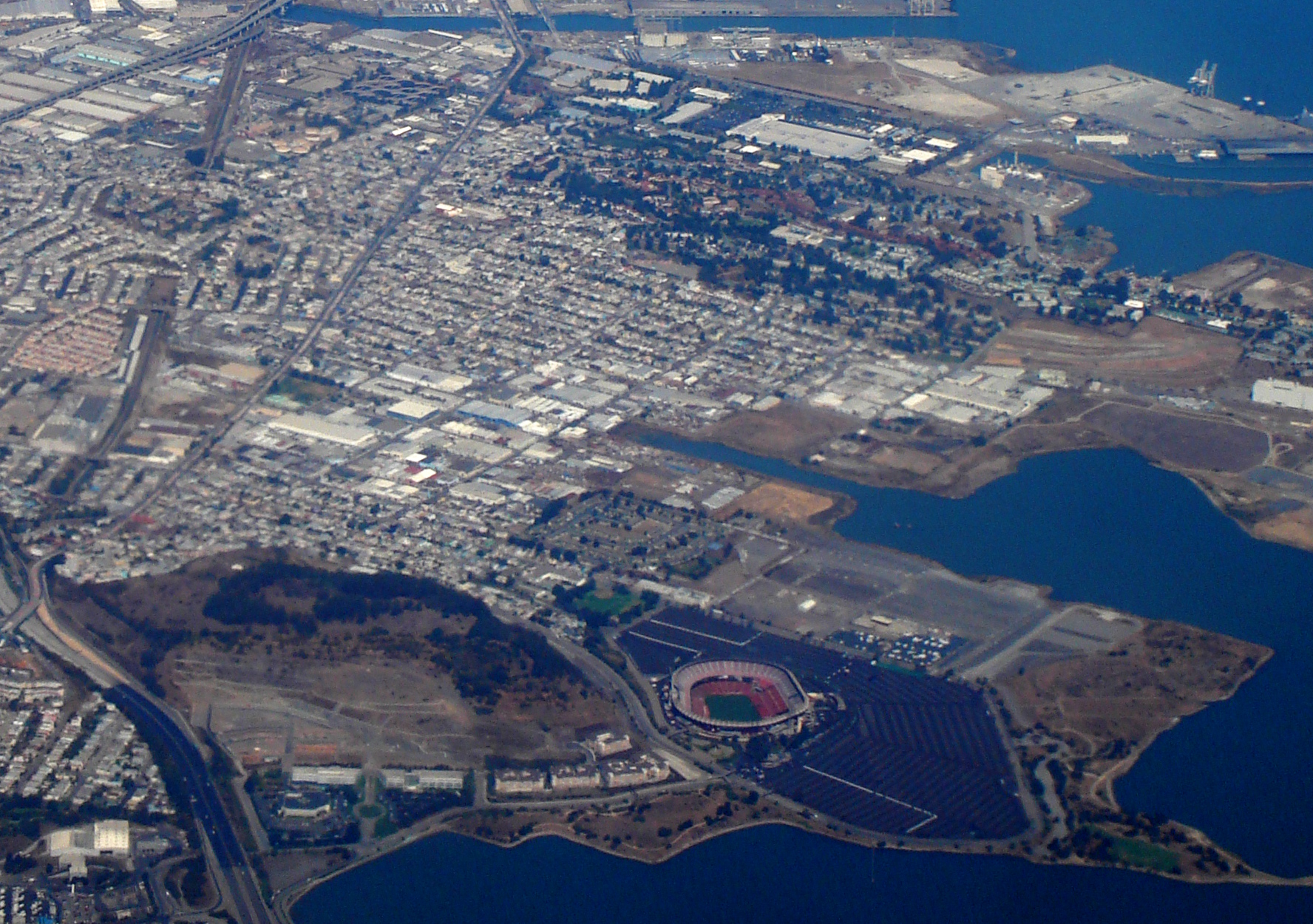
From the Air
Located at 37.7407°N, 122.3822°W on the southeastern shore of San Francisco, along the western edge of San Francisco Bay. The basin and surrounding development are visible from the air. Best viewed at 1,500-3,000 feet AGL. Nearest airport: KSFO (7 nm south).