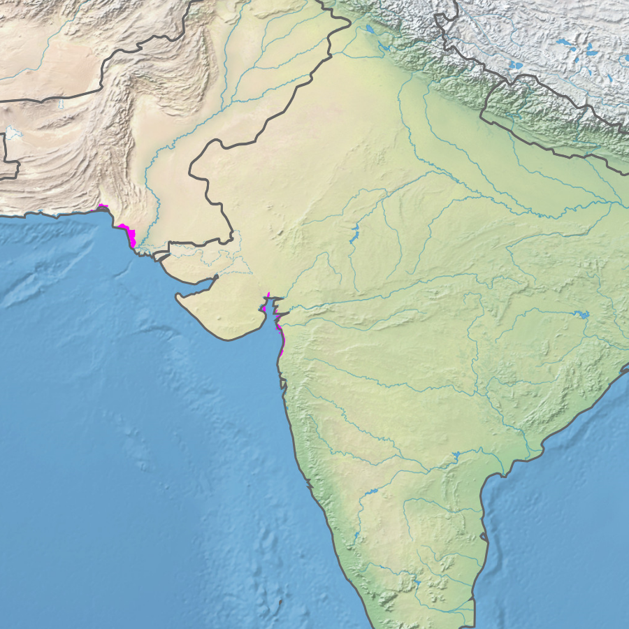
Indus River Delta-Arabian Sea Mangroves
By the time the Indus River reaches the sea, over 90% of its water is gone. Diverted upstream for irrigation across Punjab and Sindh, the great river arrives at its delta as a diminished version of itself, flowing actively for only about two months each year. Yet here, where almost no freshwater remains and summer temperatures climb to 50 degrees Celsius, the seventh-largest mangrove forest in the world persists. The Indus River Delta-Arabian Sea mangroves stretch across the coast of Sindh Province in Pakistan and into the Gulfs of Kutch and Khambhat in Gujarat, India -- a vast, threatened ecosystem that exists at the intersection of scarcity and resilience.
Salt, Heat, and Survival
The Indus Delta is an extreme environment even by mangrove standards. The Indus carries salts from the Thar Desert to the coast, making this estuary saltier than most. Winter temperatures can drop to near freezing. Rain arrives only during the southwest monsoon between July and September. Few plant species can survive these conditions -- the flora of the delta is notably limited in diversity. But the mangroves that do thrive here serve as critical habitat, their submerged root systems providing food, shelter, and oxygen for fish and crustaceans. Above the waterline, the trees stabilize sediment and buffer the coastline against erosion. Below it, they sustain the nurseries where marine life begins.
A Delta Shrinking From Both Ends
The delta formed over millennia as the Indus deposited sediment into vast alluvial fans of mud flats interspersed with tidal channels. In the 20th century, that process reversed. Upstream dams and irrigation canals reduced both water flow and sediment load. In 1990, mangroves covered 16% of the delta. By 2017, that figure had dropped by 10%. Saline water now intrudes 80 kilometers upstream, poisoning both mangrove habitat and agricultural land. Coastal erosion accelerates as sediment that once replenished the shoreline no longer arrives. Land subsidence and rising sea levels compound the problem. Pollution from Karachi's industries, sewage runoff, and oil spills add further pressure. The World Wildlife Fund classifies the mangrove habitat as critical or endangered.
Clearing and Consequences
Most of the Indus Delta's original mangrove cover has been cleared for firewood and grazing land. What remains is concentrated in three protected areas: Marho Kotri and Cut Munarki Chach Wildlife Sanctuaries, and the Mirpur Sakro Game Reserve. These fragments represent the last continuous stretches of a forest that once defined the coastline. Without the mangroves, the delta loses its natural defense against cyclones and storm surges, and the fisheries that coastal communities depend on for their livelihoods decline as nursery habitat disappears.
Planting Against the Tide
Since 1985, the Sindh Forest Department has led efforts to replant and restore mangrove areas in the delta, supported by the International Union for Conservation of Nature, the United Nations Environment Programme, UNESCO, and the World Bank. The results are significant: approximately 160 square kilometers of grey and red mangroves have been newly established, with an additional 30 square kilometers of red mangrove restored. These replanting projects represent one of the largest mangrove restoration efforts in the world, an attempt to rebuild what development dismantled. Whether the restored forests can withstand the ongoing reduction in freshwater flow and the steady rise of the sea remains the defining question for this ecoregion.
From the Air
Located at 24.65N, 67.30E at the mouth of the Indus River on the Arabian Sea coast of Sindh, Pakistan. The delta is clearly visible from altitude as a vast expanse of tidal flats, channels, and green mangrove patches contrasting with the brown and blue of mud and sea. Nearest airport is Jinnah International Airport (OPKC) in Karachi, approximately 40 km to the northwest. The Thar Desert is visible to the east, and the open Arabian Sea stretches to the south and west.