Interurban Trail (King County)
The tracks vanished decades ago, but the corridor remains. Where the Puget Sound Electric Railway once carried passengers between Seattle and Tacoma at 60 cents a ride, a pair of paved trails now thread through the suburban heart of King County. The Interurban Trail -- split into a northern and southern segment -- follows the ghosts of electric railways that shaped the settlement patterns of the Puget Sound lowlands before automobiles rendered them obsolete.
The Railway That Built the Valley
On September 25, 1902, the Puget Sound Electric Railway celebrated its inaugural run between Seattle and Tacoma, a 38-mile electric interurban line backed by the Boston-based Stone & Webster Management Company. The route started near Pioneer Square, ran through South Park and Renton, then followed the valley floor through Kent, Auburn, and Pacific before turning northwest through Fife and Milton into Tacoma. At its peak, 27 daily departures kept the line humming from dawn to midnight, with wooden Brill Company cars making the run in about 100 minutes. The railway connected isolated farming communities to the two major cities, and towns like Kent and Auburn grew along its tracks. But new highways changed everything. When Highway 99 was completed in October 1928, the interurban could not compete with the automobile. Service ended on December 30, 1928, just 26 years after it began.
Two Trails, One Memory
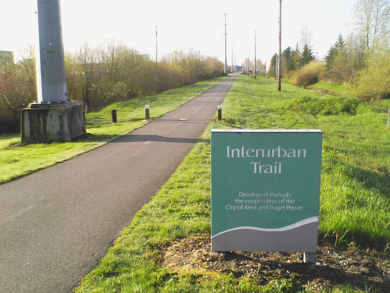
The Interurban Trail North begins as a signed bicycle route in downtown Seattle, threading through the Fremont neighborhood, up through Phinney Ridge and Greenwood, and becoming a proper paved rail trail near 110th and Fremont Avenue. From the City of Shoreline border, a wide non-motorized path continues for three miles to the Snohomish County line. The Interurban Trail South picks up the old railway corridor farther down the valley, connecting Tukwila to Pacific through the cities of Kent, Auburn, and Algona. More recently, the cities of Edgewood, Milton, and Fife have completed and opened their own paved segments, with the goal of eventually closing the gaps to create a continuous route all the way to Fife. There, the trail will connect to the spuyalapabsh Trail -- named in Lushootseed for the Puyallup people -- linking Tacoma to Puyallup.
A Green Thread Through Suburbia
From the air, the Interurban Trail appears as a narrow green line cutting through the suburban grid of south King County, distinct from the roads and highways that replaced the railway. The southern trail connects to the Green River Trail where the waterway curves through Kent, and plans call for linking it to the Pierce County Foothills Trail through Puyallup and Sumner, eventually creating a continuous non-motorized path from Tukwila south through Pacific, across the county line, and deep into the Cascade foothills toward Buckley and Enumclaw. When complete, a cyclist could ride from the industrial flats south of Seattle all the way to the base of Mount Rainier's foothills without sharing a lane with a car. For walkers and riders, the trail offers something the highway never could: a human-paced journey through the valley that the interurban railway first opened to settlement more than a century ago. The old right-of-way, too narrow and inconvenient for automobiles, turned out to be perfectly dimensioned for the recreation trails that now occupy it -- a second life the railway's builders could never have imagined.
Following the Corridor from Above
The Interurban Trail corridor is most visible from low altitude as a linear gap in the suburban development of the Green River and Duwamish valleys. The northern segment runs as a distinct path through Seattle's Fremont and Greenwood neighborhoods before becoming a wider greenway in Shoreline. The southern segment parallels SR 167 through the flat agricultural-turned-industrial lowlands between Tukwila and Pacific, with the Green River meandering alongside in long bends that contrast with the railway's straight-line engineering. The towns the trail connects -- Kent, Auburn, Algona, Pacific -- all owe their early growth to the interurban railway that put them on the map. The corridor is a reminder that before freeways defined the region's geography, electric rail determined which communities thrived and which remained empty crossroads.
From the Air
The trail corridor runs roughly north-south through the Green River valley at 47.46N, 122.24W. Seattle-Tacoma International Airport (KSEA) lies just west of the southern trail segment. Boeing Field (KBFI) is north. The Green River and SR 167 provide parallel visual references from 2,000-4,000 feet AGL. The flat valley floor between the Puget Sound lowlands and the Cascade foothills makes the linear trail corridor visible against surrounding suburban development.