Irrawaddy River
Rudyard Kipling never actually saw it, but the poem he wrote gave the world its most famous image of Myanmar: the road to Mandalay, where the flying fishes play. The real Irrawaddy needs no romanticizing. At 2,170 kilometers, it is Myanmar's spine -- the commercial waterway, cultural heartland, and ecological lifeline that has shaped the country since the Bamar people first used it for trade in the sixth century. Born from two Himalayan glacier-fed rivers in the mountains of Kachin State, it flows the entire length of the country before splitting into a nine-armed delta and emptying into the Andaman Sea. Its drainage basin covers 61 percent of Myanmar's land area and holds five of its largest cities.
Where Two Rivers Become One
The Irrawaddy begins at the confluence of the N'mai and Mali Rivers in Kachin State, where Himalayan glaciers feed torrents that carve through mountains near 28 degrees north latitude. The eastern branch, the N'mai, rises from the Languela Glacier north of Putao and runs too fast and violent for navigation. The western branch, the Mali, is smaller but navigable despite scattered rapids -- locals still call it by the same name as the main river. Below the confluence, the Irrawaddy pushes south through three dramatic defiles between Myitkyina and Mandalay. The second, below Bhamo, narrows to just 90 meters between vertical limestone cliffs 60 meters high. Near Mogok, the third defile forces the river around a sheet of Holocene-era lava called the Singu Plateau, a volcanic field covering 62 square kilometers that bends the river sharply westward.
The Heartland It Built
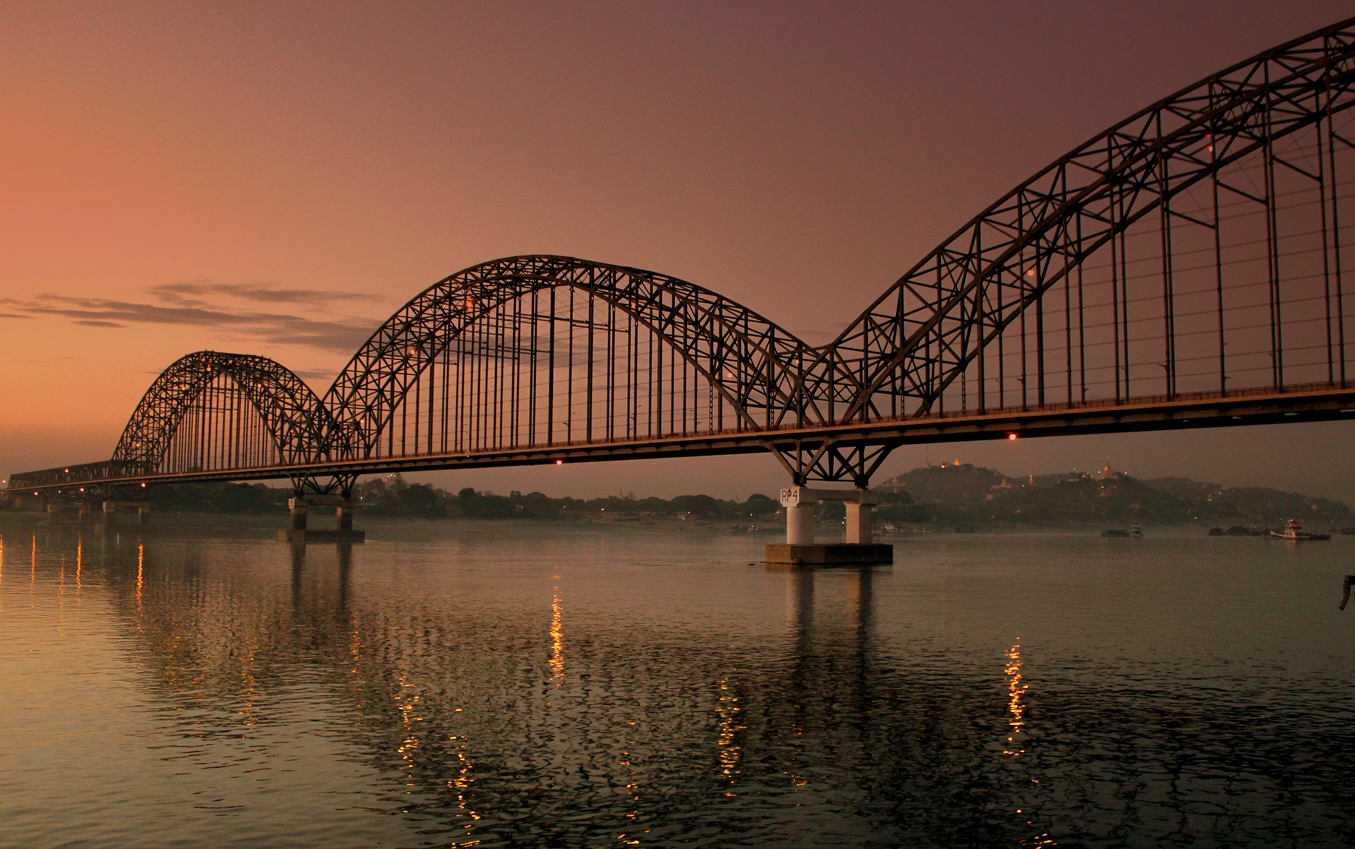
Between the defiles and the delta lies Myanmar's cultural core. The central dry zone -- the ancient heartland of the Bamar people -- spreads across alluvial flats where the river flows broad and slow past Mandalay, the former royal capital. Here the Irrawaddy takes an abrupt westward turn before curving southwest to absorb the Chindwin, its largest tributary. Downstream, it passes through the petroleum city of Yenangyaung and the temple-studded plains of Bagan. For centuries, teak logs have been girdled -- a deep circular cut through bark and sapwood into heartwood -- then left to season so they will float, before being lashed into enormous rafts and drifted downriver to Yangon for export. Rice, cotton, petroleum, and foodstuffs all move on the Irrawaddy's current. Commercial navigation runs for about 1,300 kilometers year-round, from Hinthada to Bhamo.
A Delta of Extraordinary Richness
The Irrawaddy Delta begins about 93 kilometers above Hinthada and fans outward for 290 kilometers to the Andaman Sea. Its nine distributaries create one of the world's great rice-growing regions, the soil continuously enriched by fertile alluvium carried downstream. The delta extends into the sea at roughly 50 meters per year. Mangroves and freshwater swamp forests line its southern reaches, giving way to marshes, oxbow lakes, and meandering streams. The wildlife is remarkable: migratory shorebirds arrive in flocks numbering in the thousands, including lesser sand plovers along the outer coast. Saltwater crocodiles inhabit the southern channels. The Irrawaddy dolphin, a distinctive round-headed species lacking a beak, lives in the lower reaches and is known for its cooperative relationship with local fishers, herding fish toward their cast nets.
Dams, Gold, and an Uncertain Future
The river that has sustained Myanmar for centuries now faces threats that could fundamentally alter it. In 2007, Myanmar's military junta signed an agreement with China Power Investment Corporation to build seven hydroelectric dams on the Irrawaddy, Mali, and N'mai rivers in Kachin State, with a combined output of 15,160 megawatts. The largest, the Myitsone Dam at the confluence where the Irrawaddy is born, would flood 766 square kilometers and displace 47 villages. Construction was suspended amid protests, but the project remains unresolved. Meanwhile, the civil war that erupted after the 2021 coup has unleashed unregulated gold mining across the northern river basin, contaminating the water with mercury, cadmium, and magnesium. In Kachin State, locals report skin conditions from using river water, and fish are no longer considered safe to eat. The Irrawaddy has endured invasions, empires, and colonial exploitation, but whether it can survive the combined pressures of damming, mining, and ecological collapse remains an open question.
From the Air
Coordinates near the Myitkyina confluence area at 25.71N, 97.50E. The Irrawaddy is clearly visible from altitude as a broad silver ribbon running north-south through Myanmar's central valley. Key landmarks include the confluence of the N'mai and Mali rivers near Myitkyina (VYMK), the dramatic defiles south of Bhamo, the bend at Mandalay (VYMD), and the vast fan-shaped delta emptying into the Andaman Sea. The river passes near Bagan and its thousands of temples, visible from above. Best flying conditions November through March; monsoon brings heavy cloud cover May through October.