Ise Bay
On September 26, 1959, Typhoon Vera drove a wall of seawater over the low-lying shores of Ise Bay and killed more than 5,000 people. It remains the deadliest typhoon in Japanese recorded history. That same bay -- a broad, sheltered inlet where the Kiso Three Rivers empty between Mie and Aichi prefectures -- had spent centuries feeding, enriching, and connecting the communities on its shores. Pearl farms, spiny lobster fisheries, rice paddies, and one of Japan's most sacred shrines all depend on this body of water. So does Nagoya Port, the country's largest trading harbor. Ise Bay is a place where abundance and catastrophe have always lived side by side.
Sacred Waters, Ancient Trade
The bay takes its name from Ise Grand Shrine and the city of Ise on its southwestern shore -- one of the holiest sites in the Shinto tradition. Before the Meiji Period, this entire region fell within Ise Province, and the flat coastal plain stretching from Kuwana in the north to Ise in the south formed the agricultural and commercial backbone of the territory. From ancient times, the bay provided rich fishing grounds -- most famously for Ise ebi, the Japanese spiny lobster that became synonymous with the region. Pearl farming also flourished in the bay's calm waters, part of a broader cultured-pearl industry that would make Japan the global leader in the trade. The Kiso Three Rivers -- the Kiso, Nagara, and Ibi -- drain into the bay's northern reaches, depositing nutrient-rich sediment that sustains the ecosystem.
An Industrial Heartland
Nagoya Port, on the bay's northern shore, grew into Japan's largest trading port by volume, anchoring an industrial corridor that powered the nation's postwar economic miracle. After World War II, the Ise Bay region became a manufacturing engine, with automobile plants, petrochemical facilities, and steel mills lining the coast. In 2005, Chubu Centrair International Airport opened on an artificial island built in the bay itself, serving the entire Chubu region. But industrialization came at a cost. Pollution degraded the bay's water quality. Landfills consumed tidelands and seaweed beds vital to marine life. Sea walls, erected in enormous numbers after the 1959 typhoon, severed remaining natural connections between land and water along long stretches of the coast.
The Night Vera Came
Typhoon Vera -- known in Japan as the Ise-wan Typhoon -- struck with almost no effective warning. Rising tidal surges collapsed embankments and inundated the low coastal plains that ring the bay. The numbers tell the story with brutal clarity: 5,041 people killed or missing, 38,921 injured, and 149,187 houses totally or partially destroyed. Damage estimates ran between 500 and 600 billion yen. The disaster reshaped Japanese infrastructure policy. Massive concrete sea walls now line the bay's shores, and the typhoon's anniversary is still observed as a day of disaster preparedness. The Ise-wan Typhoon remains a defining event for the communities around the bay -- the night the water they depended on turned against them.
Faults Beneath the Surface
The bay sits above three active geological faults: the Ise Bay fault, the Suzuka-oki fault, and the Shiroko-noma fault. These structures are believed to be responsible for the devastating 1586 Tensho earthquake, one of the most powerful seismic events in Japanese history. The combination of active faults, low-lying coastal terrain, and dense industrial development makes the Ise Bay region one of the most closely monitored seismic zones in the country. Scientists study the Holocene delta sequences deposited by the Kiso rivers to reconstruct past fault activity, reading thousands of years of earthquake history in layers of sediment. The bay's beauty and productivity exist in a landscape shaped by tectonic forces that have repeatedly reshaped its shores.
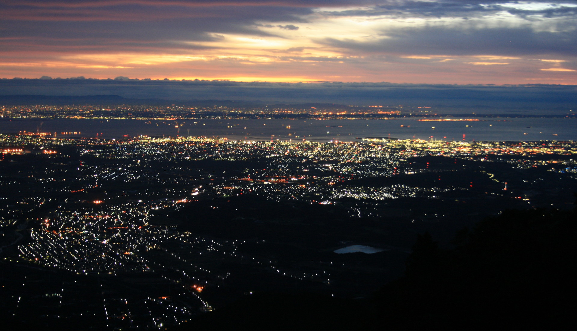
From the Air
Located at 34.75N, 136.75E between Mie and Aichi prefectures. Ise Bay is a large, clearly defined body of water visible from high altitude, roughly 50km north-south and 20km wide. The artificial island of Chubu Centrair International Airport (RJGG) is prominently visible in the bay's eastern waters. Nagoya's urban sprawl dominates the northern shore. The bay connects to Mikawa Bay to the southeast via the Nakayama and Morosaki channels, with the Chita and Atsumi peninsulas forming the eastern boundary. The Kiso Three Rivers delta is visible at the bay's northern end. Expect maritime haze, particularly in summer. Suzuka Mountains form the western skyline.