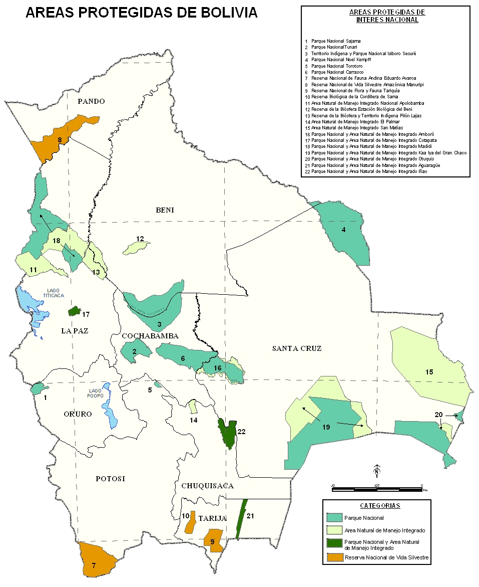
Isiboro Secure National Park and Indigenous Territory
In 2011, hundreds of indigenous marchers set out on foot from Trinidad, in Bolivia's tropical lowlands, bound for La Paz in the high Andes. They were walking to stop a highway. The road in question would slice through the heart of TIPNIS -- the Territorio Indigena y Parque Nacional Isiboro Secure -- connecting Cochabamba and Beni departments for the first time by direct highway. On September 25, police raided the march and detained hundreds of people. The marchers regrouped. By October 19, they arrived in La Paz to a massive public welcome that forced the government to retreat. It was a rare moment when an indigenous march changed national law -- and a vivid illustration of what makes TIPNIS one of the most bitterly contested landscapes in South America.
Where the Yungas Meet the Lowlands
TIPNIS sits between the northern edge of Cochabamba Department and the southern reaches of Beni, covering more than a million hectares where the Andean foothills descend into Amazonian floodplain. The park protects a portion of the Bolivian Yungas ecoregion -- cloud-draped montane forest giving way to sub-Andean and pre-Andean Amazonian woodland, and finally to the flooded savannas of the Moxos plain. The Secure and Isiboro rivers, both tributaries of the Mamore and ultimately the Amazon, flow through the park from south to north. Pink river dolphins surface in their waters. The biodiversity counts are staggering: 218 mammal species, 992 bird species, 157 amphibians, and 131 reptiles have been documented within the park's boundaries. Laguna Bolivia, a major wildlife observation site, is reachable by boat through the Secure River during high water or by horseback from scattered communities to the south.
Three Peoples, Sixty-Four Communities
TIPNIS is not just a national park. Since 1990, it has been formally recognized as indigenous territory -- Native Community Land belonging to the Tsimane, Yuracere, and Mojeno-Trinitario peoples who have lived here for generations. At the 2001 census, 12,388 indigenous inhabitants occupied 64 communities across the park: 6,351 Tsimane, 4,228 Mojeno-Trinitario, and 1,809 Yuracere. The park's original declaration as a national park came in 1965 through Supreme Decree 7401, but the indigenous territorial recognition followed a quarter-century later, won through the 1990 March for Territory and Dignity organized by the Confederation of Indigenous Peoples of the Bolivian East. In 2009, collective title to more than a million hectares was formally awarded to the indigenous governance body known as Subcentral TIPNIS.
The Road That Would Not Die
The proposed Villa Tunari-San Ignacio de Moxos Highway would run 306 kilometers in three segments, with the critical middle stretch -- 177 kilometers from Isinuta to Monte Grande -- passing directly through TIPNIS. A $332 million loan from Brazil's development bank made construction feasible, and in June 2011, President Evo Morales inaugurated the project at Villa Tunari. The opposition was fierce and immediate. Studies by the Program for Strategic Investigation in Bolivia projected that the road would accelerate deforestation so severely that up to 64 percent of TIPNIS could be stripped of forest cover by 2030. After the dramatic 2011 march, Law 180 declared TIPNIS an intangible zone and prohibited highway construction through it. But the victory was temporary. In 2012, the government enacted Law 222 authorizing a new consultation process, and in 2017, Law 969 opened the park to road construction, private investment, and infrastructure development.
Coca, Oil, and the Vanishing Forest
The highway is only one front in a multi-sided assault on the park's integrity. Since the 1970s, coca farmers have colonized the southern portion of TIPNIS, in a zone known as Polygon 7, clearing forest for agriculture. The Bolivian government has acknowledged that roughly 10 percent of the park has already been deforested, and projections suggest 43 percent of forest cover could vanish by 2030 even without the highway. Meanwhile, oil and gas concessions overlay significant portions of the park. The Secure block, operated by Petroandina -- a joint venture between Bolivia's YPFB and Venezuela's PDVSA -- has conducted aerial surveys for exploration. Two exploratory wells have already been drilled: one reaching 3,032 meters deep, another bored to 5,830 meters between 1999 and 2001. Bolivia's own National Service for Protected Areas has warned that extraction could cause serious damage to TIPNIS's rivers and ecosystems. The park endures, but the forces pressing inward show no sign of relenting.
From the Air
Located at approximately 15.45S, 66.67W, straddling the boundary between Cochabamba and Beni departments in central Bolivia. The park stretches from Andean foothills in the south to flat Amazonian lowlands in the north -- from altitude, the transition from cloud forest to flooded savanna is visible as a dramatic color shift. The Secure and Isiboro rivers are prominent silvery threads. Nearest commercial airports include Jorge Wilstermann International Airport (SLCB) at Cochabamba and Trinidad Airport (SLTR). Best observed at 20,000-30,000 feet where the deforestation boundary in the southern Polygon 7 zone is starkly visible.