Isle of Mull
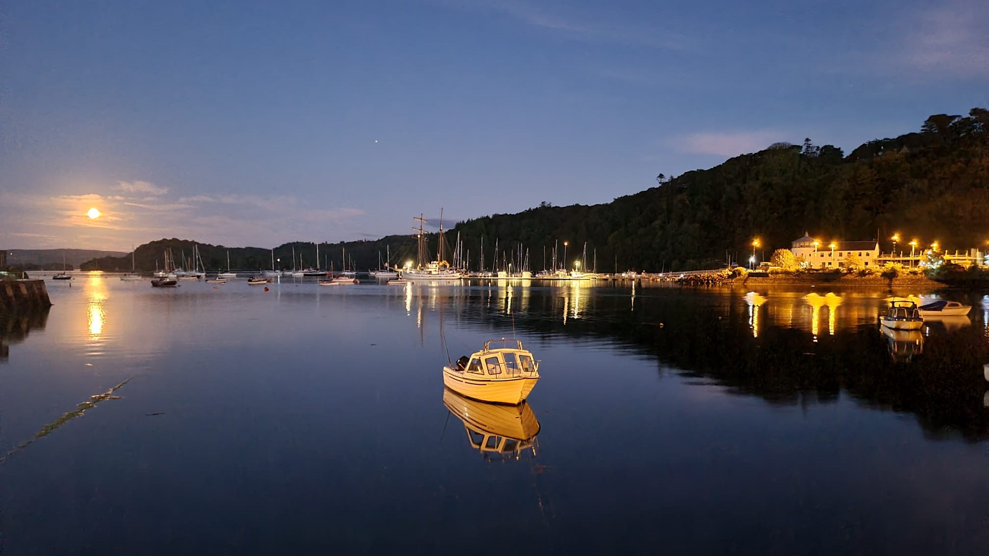
Tobermory's waterfront is painted in the colours of a child's imagination -- bright blues, yellows, pinks, and greens reflected in the harbour where fishing boats jostle with visiting yachts. It is the kind of place that makes you forget, for a moment, that Mull has seen Viking raids, clan warfare, Spanish Armada shipwrecks, and the Highland Clearances. At 875 square kilometres, this is the fourth-largest island in Scotland and the second-largest in the Inner Hebrides after Skye, and its history runs as deep as its sea lochs.
A Volcanic Inheritance
Mull's landscape is the legacy of the same volcanic upheaval that created Staffa and the Giant's Causeway. The island's geology is complex and dramatic: Tertiary basalt lava flows in the north give way to granite mountains in the south, where Ben More rises to 966 metres as the only Munro on any Scottish island outside Skye. The coastline is deeply indented by sea lochs -- Loch na Keal, Loch Scridain, Loch Buie -- that cut so far inland they nearly divide the island into separate fragments. Between the 2011 and 2022 censuses, the population grew from 2,800 to over 3,000, a reversal of the long decline that followed the Clearances. Today Mull supports four castles, a stone circle at Lochbuie, and a gin distillery near Tiroran producing Whitetail Gin from locally foraged botanicals.
Duart and the MacLeans
Duart Castle commands the eastern approach to the Sound of Mull from a rocky promontory, its silhouette one of the most recognizable in the Highlands. Built probably by Clan MacDougall in the 13th century, it passed to Clan MacLean in the 14th century when Lachlan Lubanach married Mary Macdonald, daughter of the Lord of the Isles, and received Duart as her dowry. The castle endured siege by Clan Campbell in 1647, a Cromwellian naval assault in 1653 (which cost three of six attacking ships in a storm), and eventual capture by the Campbells in 1678. Abandoned by 1751, its stones sold and scattered, Duart seemed lost. Then in 1911, Sir Fitzroy Donald Maclean, the 26th Chief of Clan MacLean, bought the ruin and restored it. Today the castle is open to visitors, and the regimental colours of the Canadian Expeditionary Force's 236th Battalion hang in the Great Hall.
The Gateway to Iona
Mull's significance extends beyond its own shores. From the village of Fionnphort at the island's southwestern tip, a short ferry crossing leads to Iona, where Columba established his monastery in 563 AD and from which Christianity spread across Scotland and northern England. For centuries, Iona was the burial place of Scottish kings, and the abbey remains one of the most important religious sites in the British Isles. Mull is the essential waypoint on that journey. The single-track road from Craignure to Fionnphort crosses the island through scenery that shifts from moorland to mountain pass to coastal machair. Pilgrims, tourists, and wildlife enthusiasts all converge on Mull, making the CalMac ferry from Oban one of the busiest crossings on the west coast.
Wrecks and Wildlife
The Sound of Mull holds secrets beneath its surface. In 1588, a ship of the Spanish Armada -- possibly the San Juan de Sicilia -- sank in Tobermory Bay under circumstances still debated by historians. A 17th-century warship, believed to be the Swan, lies in a Historic Marine Protected Area north of Duart Castle. Above water, Mull is renowned for its white-tailed sea eagles, reintroduced to the island in the 1970s, and now regularly spotted circling above Loch na Keal. Otters patrol the shoreline, red deer roam the hills, and in summer, basking sharks and minke whales pass through the surrounding waters. The island's annual Highland Games, held in July, add human spectacle to the natural variety -- a caber-tossing, pipe-playing celebration on an island that has always been at the crossroads of Scottish history.
From the Air
Mull lies at approximately 56.45N, 5.95W off Scotland's west coast, separated from the mainland by the Sound of Mull. The island is roughly 50 km long and 30 km wide. Ben More (966 m) is the prominent peak in the south. Duart Castle is visible on the eastern headland at the entrance to the Sound. Nearest airfield is Oban Airport (EGEO) on the mainland, approximately 10 nm east. Glenforsa Airstrip on Mull itself (no ICAO code) offers a grass strip for light aircraft.