Isle of Skye
On 9 May 2016, a thermometer at Lusa on the southeast coast of Skye recorded 26.7 degrees Celsius -- 80 degrees Fahrenheit on an island better known for horizontal rain and 128-kilometre-per-hour gales. The reading captures something essential about the largest island of the Inner Hebrides: it defies expectations at every turn. Skye is not one landscape but many -- the black gabbro teeth of the Cuillin ridge, the surreal pinnacles of the Trotternish landslip, the pastoral flatlands of the north, and a coastline so deeply indented that no point on the island lies more than eight kilometres from the sea. For at least 8,500 years, people have been arriving here and finding reasons to stay.
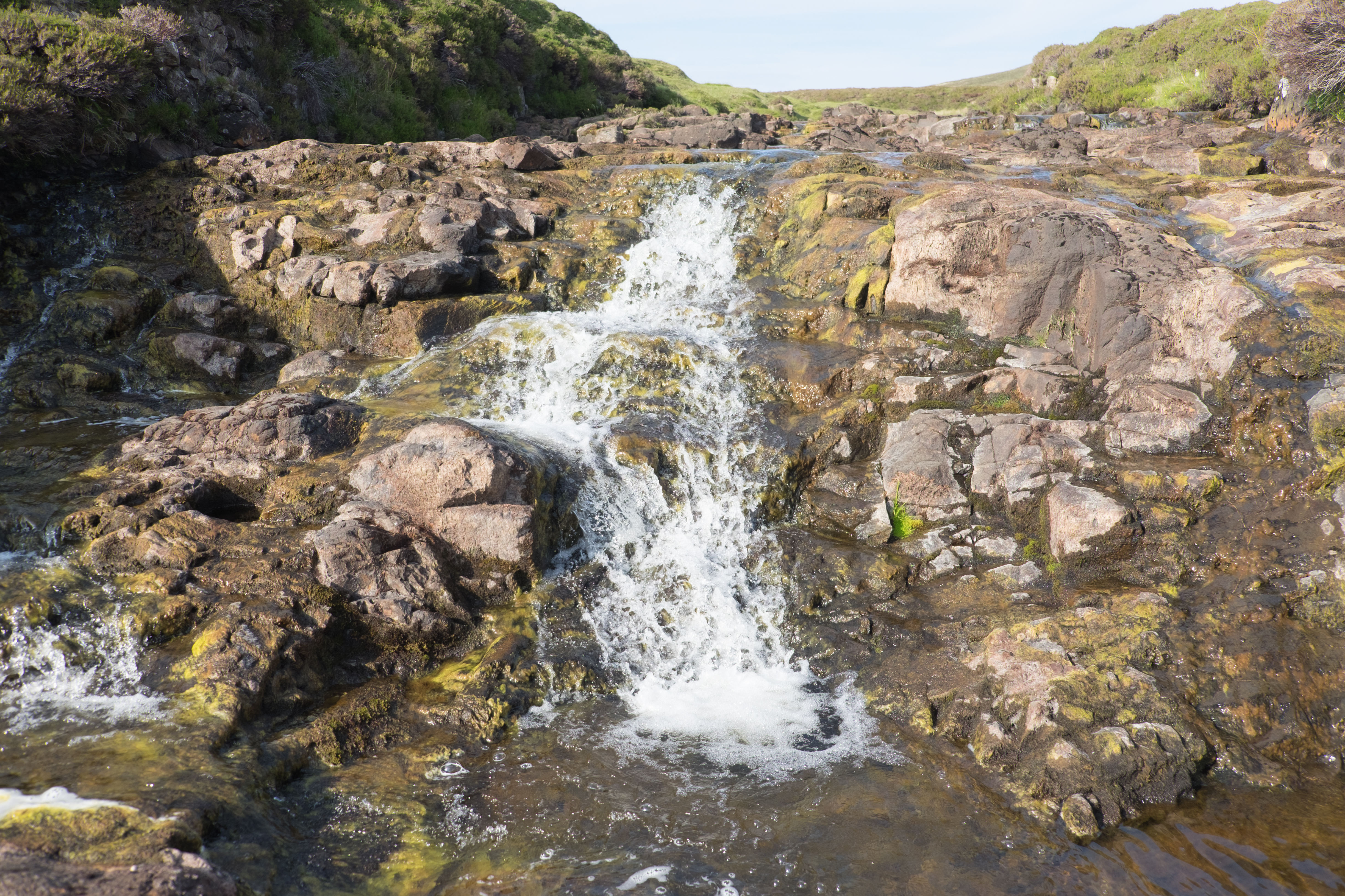
Shaped by Fire and Ice
The geology of Skye reads like a textbook on volcanic violence. The Black Cuillin, whose twelve Munros form the most challenging ridge walk in Britain, are composed of gabbro so rough it grips climbing boots like sandpaper. The Red Cuillin, by contrast, are rounded granite hills eroded into gentler slopes. Both were forged by the same Paleogene volcanic complex that produced the Trotternish ridge, where the longest landslip in Great Britain created a gallery of otherworldly rock formations -- including the Old Man of Storr, a 50-metre basalt pinnacle that served as a film location for Ridley Scott's Prometheus. Ice sheets sculpted what the volcanoes built, carving the sea lochs that fracture the island into its characteristic winged shape.
Norse, Gaelic, and Clan
Skye's name itself is debated -- possibly from the Norse sky meaning cloud, or the Gaelic sgiath meaning wing. Norse rule lasted from the ninth century until the Treaty of Perth in 1266 returned the Hebrides to the Scottish Crown. The Clan MacLeod held Dunvegan Castle -- the longest continuously inhabited castle in Scotland -- while the MacDonalds controlled the south from their strongholds around Sleat. These two clans shaped the island's medieval history through alliance, rivalry, and the fierce independence that characterized Hebridean culture. Gaelic remained the dominant language well into the twentieth century, and while its speakers have declined, the language still marks the landscape in every place name, from the Quiraing to Portree.
The Prince and the Clearances
After the Battle of Culloden in 1746, Bonnie Prince Charlie fled through the Highlands with a price of 30,000 pounds on his head. Flora MacDonald famously helped him escape to Skye, disguised as her Irish maid Betty Burke, rowing across the Minch in an open boat. The aftermath of the rising brought devastation: the clan system was dismantled, tartan banned, and the old ways suppressed. A century later, the Highland Clearances emptied townships across the island. The Battle of the Braes in 1882 -- when crofters resisted eviction and police were sent from Glasgow -- became a turning point in the struggle for land reform, leading eventually to the Crofters' Holdings Act of 1886 that gave tenants security of tenure for the first time.
The Modern Island
Since the Skye Bridge opened in 1995, visitor numbers have surged. The island's population has grown to around 13,000, reversing decades of decline. Tourism brings economic vitality but also pressure: single-track roads clog in summer, and popular sites like the Fairy Pools and the Old Man of Storr have required new parking and path infrastructure to manage footfall. Skye whisky, produced at the Talisker distillery in Carbost since 1830, remains one of the island's most famous exports. The distillery sits on the shores of Loch Harport, producing a smoky, maritime single malt that captures something of the island's character -- peat, sea salt, and a lingering warmth that outlasts the weather.
From the Air
Located at 57.30N, 6.30W, the Isle of Skye is unmistakable from the air -- the largest of the Inner Hebrides with its distinctive winged shape. The Black Cuillin ridge dominates the southern half. The Skye Bridge connects to the mainland at Kyle of Lochalsh. Nearest airport is Broadford airstrip; nearest ICAO airport is Inverness (EGPE). Best viewed at 5,000-8,000 feet to appreciate the full extent of the island, the sea lochs, and the Cuillin ridge.