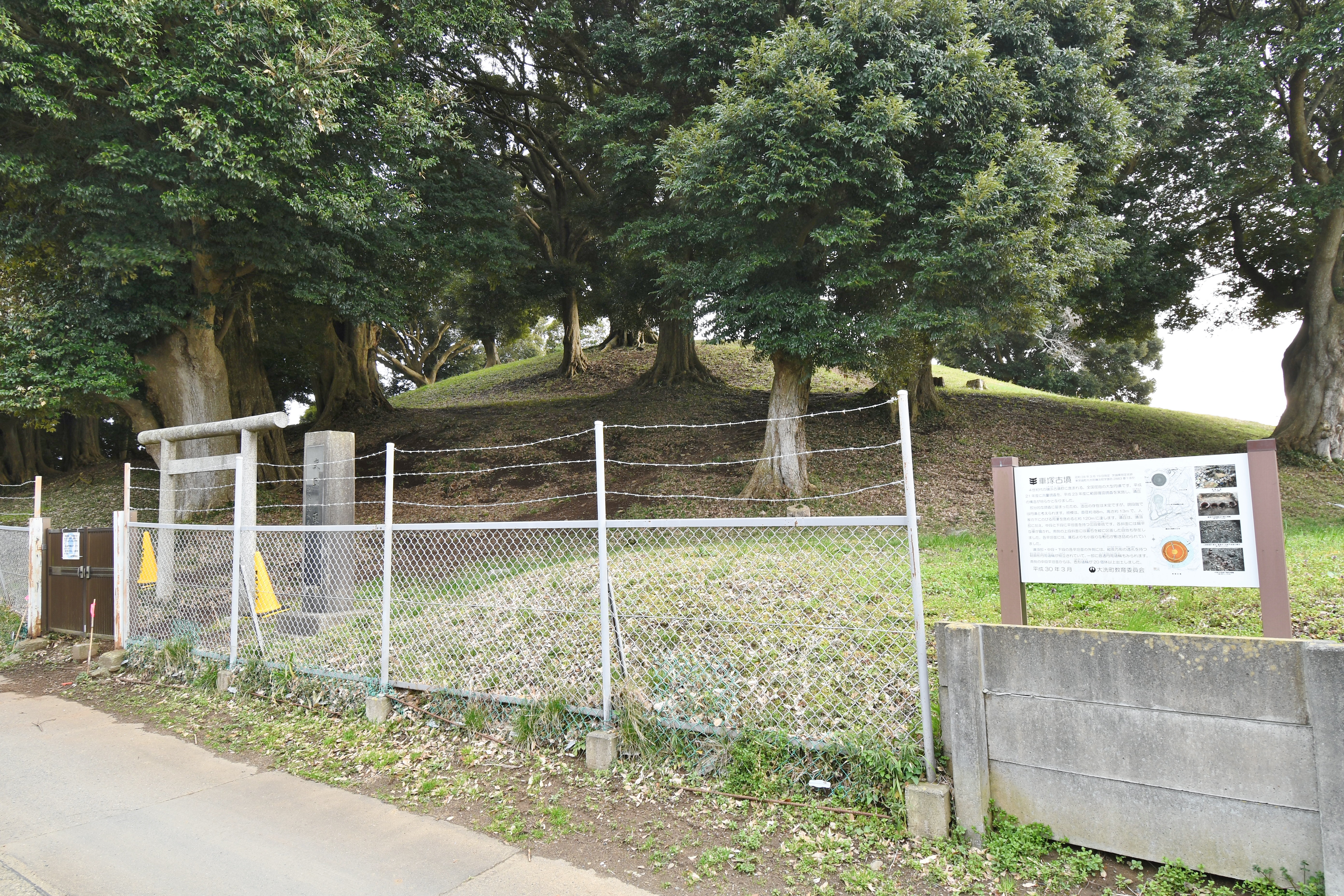
Isohama Kofun Cluster
From the air, they look like gentle swells in an otherwise flat coastal landscape -- earthen mounds softened by seventeen centuries of rain and root growth, barely distinguishable from the surrounding terrain of the town of Oarai. But the Isohama Kofun Cluster, perched on a hill facing the Pacific Ocean about three kilometers southwest of the Naka River's mouth, is one of the most significant archaeological sites in Ibaraki Prefecture. Excavations have pulled more than 4,100 grave goods from these tumuli: bronze mirrors, iron swords, jade magatama beads, jasper tubes and balls, and miniature replicas of everyday objects meant to accompany the dead into the next world. Three of the mounds were designated a National Historic Site in 2020, with three more under consideration. What these tombs suggest is striking -- that a powerful local dynasty once controlled this stretch of the Kanto coastline, and may have maintained maritime connections all the way to the Yamato heartland of western Japan.
Keyhole Kings
The two most prominent tombs in the cluster are keyhole-shaped kofun -- that distinctive form, visible only from above, where a square platform joins a circular mound. The Hisagezuka Kofun stretches 101.4 meters in total length, making it one of the largest burial mounds in Ibaraki Prefecture. Its posterior circular portion alone measures 65 meters in diameter, and numerous haniwa -- fired clay figures of soldiers, horses, and houses placed around the mound's perimeter -- have been recovered from its slopes. These keyhole tombs were the exclusive burial form of Japan's ruling elite during the Kofun period. Their presence here, on a hill overlooking the ocean rather than in the traditional power centers of the Kinai region, speaks to the wealth and authority of whoever governed this territory between the mid-3rd and late 4th centuries.
The Giant Circle
The Kurumazuka Kofun takes a different form entirely. At 88 meters in diameter, it is one of the largest circular-type kofun anywhere in Japan -- a massive round mound without the squared-off forward platform of its keyhole neighbors. Circular kofun are generally considered slightly lower in the ritual hierarchy than keyhole types, but Kurumazuka's sheer size challenges easy classification. Construction techniques and grave goods date the cluster's tumuli from the mid-3rd century through the late 4th century, spanning a period when the Yamato polity in western Japan was consolidating its influence across the archipelago. The site also includes two rectangular double-joined kofun and two mounds of indeterminate shape, though many more tumuli once stood here before urban development and land clearing consumed them.
A Settlement of the Living and the Dead
The kofun did not stand in isolation. The surrounding Higekama Ipponmatsu site preserves traces of a large-scale settlement that stretched continuously from the preceding Yayoi period into the Kofun era, suggesting that the people who built these tombs lived right beside them for generations. This necropolis was not a remote burial ground but the ceremonial heart of a thriving community. The site's commanding position -- a hilltop overlooking both the Pacific Ocean and the mouth of the Naka River -- strongly suggests that these local rulers drew their power from maritime trade and river navigation. The nearby Oarai Isozaki Shrine, one of the area's oldest Shinto shrines, is dedicated to the Nakakunizo clan, whose name echoes the Naka River itself and may represent a direct cultural link to the people entombed in these mounds.
What the Earth Remembers
Walking the site today, just a 12-minute stroll from Oarai Station, the mounds have settled into the suburban landscape of a quiet coastal town. Grass covers the earthwork contours. Trees shade the slopes where haniwa once stood in ceremonial rows. The 4,100-plus artifacts recovered from excavation -- the mirrors, the weapons, the curved jade beads that were already ancient symbols of power when these kings were buried -- now reside in museum collections. But the mounds themselves remain, designated and protected, a reminder that eastern Japan had its own centers of authority long before Edo or Tokyo existed. From above, the keyhole outlines emerge from the greenery like signatures written in earth, marking where rulers of a forgotten Pacific coast kingdom chose to spend eternity.
From the Air
Located at 36.316N, 140.570E on the coast of Ibaraki Prefecture, near the town of Oarai. The kofun cluster sits on a low hill approximately 3km southwest of the Naka River mouth, facing the Pacific Ocean. The keyhole-shaped mound outlines may be discernible from lower altitudes in favorable lighting conditions. Nearby landmarks include the Oarai coast and the distinctive torii gate of Oarai Isozaki Shrine standing in the ocean surf. Nearest airport: Ibaraki Airport (RJAH) approximately 20km north. Narita International (RJAA) lies roughly 90km to the south. Coastal weather patterns prevail; expect sea breezes and occasional fog.