Iturup
The Ainu called it Etuworop-sir — island with many capes — and even from the air, you can see why. Iturup juts and angles its way through the sea between the Sea of Okhotsk and the North Pacific, its coastline fractured into dozens of rocky headlands by the dozen volcanoes that form the island's spine. At 200 kilometers long, it is the largest of the Southern Kurils, and the most contested. Both Russia and Japan claim it. Neither has fully settled the matter since 1945.
Fire Beneath the Fog
A dozen calc-alkaline volcanoes march from northeast to southwest along Iturup's length, the tallest being Stokap at 1,634 meters. The island is a textbook of volcanic geology compressed into a single landmass: fumaroles hiss sulfurous gas on the slopes of Kudriavy volcano, where in 2004 scientists identified rheniite, a rhenium sulfide mineral never before described, growing in crystalline plates inside the volcanic vents. They had initially mistaken it for molybdenite. The Ilya Muromets waterfall plunges down steep coastal cliffs on the island's Pacific side, one of the tallest waterfalls in Russia. Dense forests of spruce, larch, and fir cover the lower slopes, giving way to Siberian dwarf pine and the endemic Iturup strawberry — Fragaria iturupensis — at higher elevations. Kuril bamboo chokes the understory, making overland travel a punishing exercise.
Empires Passing Through
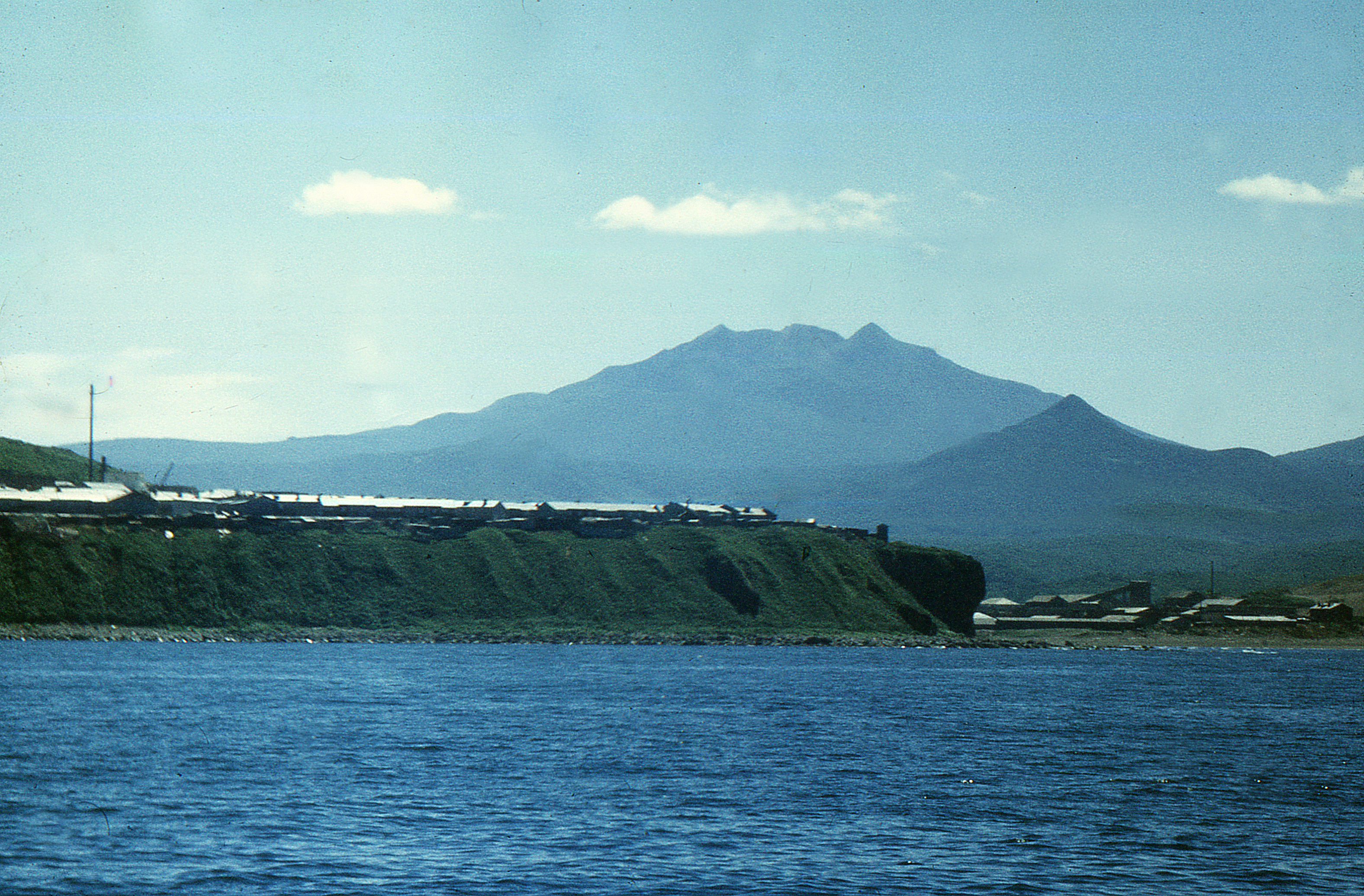
The Ainu lived on Iturup for centuries before Europeans arrived. In 1643, the Dutch ship Castricum under Maarten Gerritsz Vries sailed through these waters for the Dutch East India Company, producing a garbled account that placed phantom continents — Company Land and Staten Island — on European maps for decades. The Treaty of Shimoda in 1855 formalized Japanese sovereignty over the southern Kurils, and for nearly a century Iturup was unmistakably Japanese territory. The administrative capital sat at Shana Village on the island's coast, complete with a hospital, fisheries factory, and a battery-powered radio receiver. In November 1941, the Imperial Japanese Navy assembled its strike force in Hitokappu Bay on Iturup's eastern shore before sailing for the attack on Pearl Harbor — a departure point chosen precisely for the island's remoteness, constant fog, and absence of foreign observers.
The Dispossession
In August 1945, as World War II ended, Soviet forces swept through the Kurils in accordance with agreements made at the Yalta Conference. The Japanese inhabitants of Iturup were expelled to the mainland. Diplomatic relations were restored in 1956, but no peace treaty followed — the status of the Southern Kurils remained the unresolved question that prevented one. For decades, a Soviet anti-air defense airfield at Burevestnik hosted MiG-23 fighter jets. In 1968, Seaboard World Airlines Flight 253A, carrying 238 American troops bound for Vietnam, was intercepted over the Kurils and forced to land at Burevestnik — a Cold War incident largely forgotten today. Japan continues to claim the island, considering its northern tip to be the northernmost point of Japanese territory. Russia considers the matter settled.
A Modern Outpost
Iturup Airport opened in 2014, seven kilometers east of the town of Kurilsk. It was the first airport built from scratch in Russia's post-Soviet history, with a 2.3-kilometer runway capable of receiving Antonov An-74 aircraft. The old Burevestnik airfield, 60 kilometers to the south, had served civilian flights for years but was chronically shut down by the fog that envelops this part of the Pacific. It now serves as a reserve facility. In 2018, Russia deployed Su-35 fighter jets to Iturup, a move that drew formal protests from Tokyo. The island remains administered as part of Sakhalin Oblast, home to a small Russian population centered in Kurilsk. Japan claims it as part of Nemuro Subprefecture, a jurisdiction that extends, on paper, over waters and islands that Japanese citizens cannot visit without Russian permission.
Between Two Claims
Iturup sits at the intersection of tectonic plates and geopolitical ones. The Vries Strait to its northeast separates it from Urup and marks the Miyabe Line, a botanical boundary dividing the plant communities of the northern and southern Kurils. The human boundary is more fraught. For the roughly 6,000 people who live here, the island is simply home — Russian-speaking, remote, dependent on fishing and the military economy. For Japanese nationalists, it is occupied territory. For diplomats on both sides, it is the problem that has prevented a World War II peace treaty for eight decades. The volcanoes, indifferent to sovereignty, continue to smoke.
From the Air
Located at 45.03°N, 147.62°E in the southern Kuril Islands chain. Iturup stretches roughly 200 km NE-SW and is easily identifiable from altitude by its chain of volcanic peaks, the tallest being Stokap at 1,634 m. Iturup Airport (UHSI) lies 7 km east of Kurilsk on the western coast. The old military airfield Burevestnik is 60 km to the south. Nearest major airport is Yuzhno-Sakhalinsk (UHSS) on Sakhalin Island, approximately 500 km to the northwest. Expect persistent fog and low cloud cover, particularly in summer months. The Sea of Okhotsk lies to the west, the open Pacific to the east.