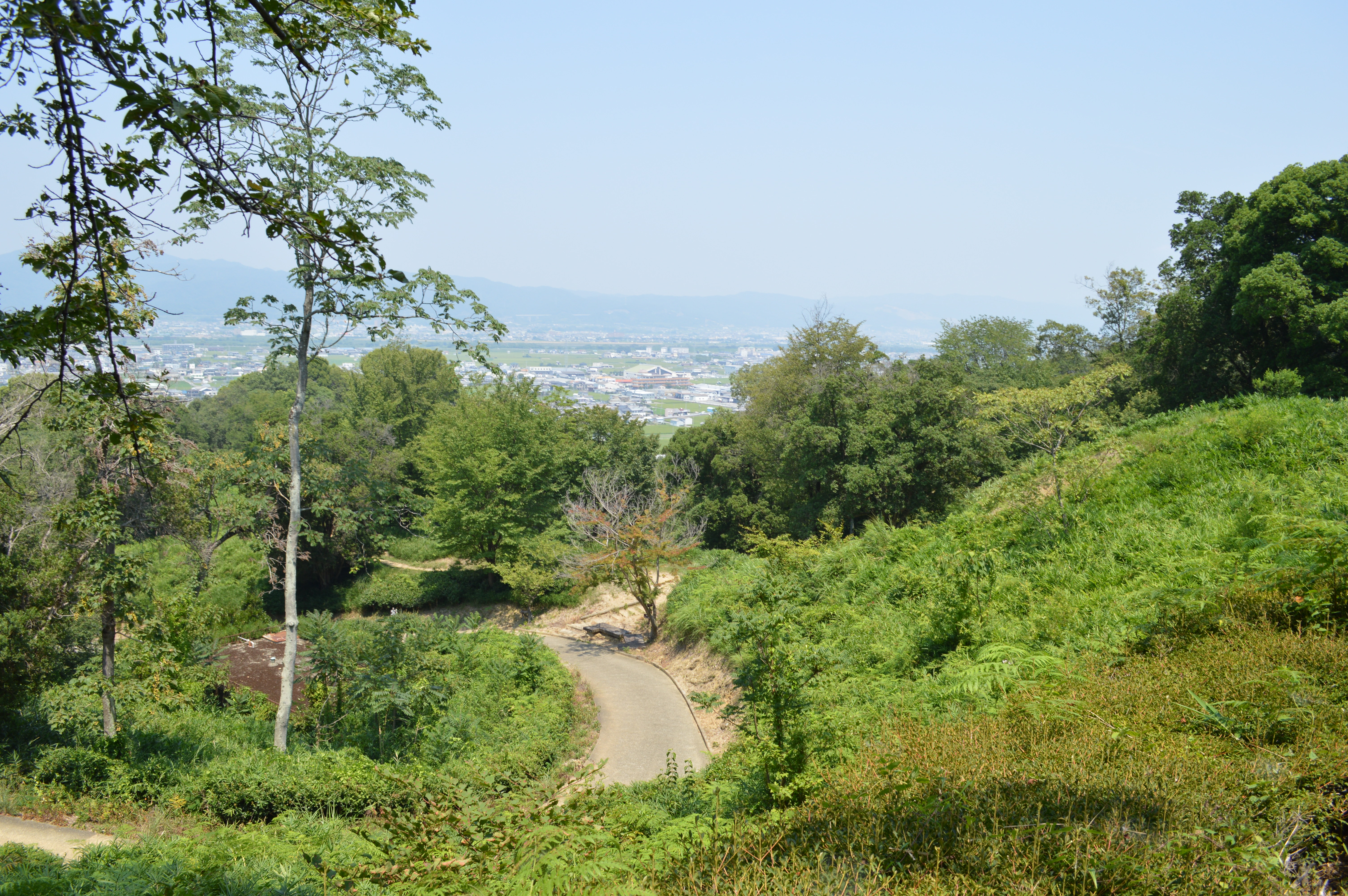
Iwase-Senzuka: Nine Hundred Graves on a Mountainside
Nine hundred burial mounds do not appear all at once. They accumulate, generation by generation, one chieftain at a time, across the forested ridgelines of the Ryumon Mountains in eastern Wakayama. The Iwase-Senzuka Kofun Cluster is exactly that kind of slow, deliberate statement -- not a single monument to one ruler's ego, but three centuries of earth-moving by the kuni no miyatsuko, the provincial governors of ancient Kii Province, who buried their dead on this hillside from the middle of the 4th century until the Taika Reforms reshaped Japanese governance in 645. The name itself hints at scale: senzuka means "a thousand mounds." The actual count exceeds 900. From above, the site reads as a long east-west band of forest and cleared earth, punctuated by the gentle rises of tumuli that the surrounding city of Wakayama has grown around but never quite absorbed.
Lords of Kii Province
The burial mounds belong to the kuni no miyatsuko -- the hereditary governors who administered Kii Province on behalf of the Yamato court. These were not emperors or great warlords. They were regional elites, powerful enough to command the labor of hundreds for tomb construction, but answerable to central authority. Their mounds cluster into two main groups: the Hanayama branch in the Narugami district to the north, and the Ibe Hachiman burial mound cluster in the Okazaki district to the south. At the western edge of the site, the Hinokuma Shrine and Kunikakasu Shrine still stand -- sacred spaces that enshrine the spirits of these same governors. The dead and their deities share the mountainside.
Keyholes, Circles, and Slabs of Schist
Most of the 900-plus tumuli are either circular or square -- modest mounds that housed single burials. Only about one percent take the distinctive keyhole shape known as zenpokoen-fun, with one square end and one circular end, visible as a distinctive silhouette from the air. The keyhole form signaled higher status in the Kofun period hierarchy. Inside, construction techniques evolved across the centuries. The earliest graves used clay-lined chambers with box-type sarcophagi -- simple, effective, sealed against the elements. Later builders turned to chlorite schist, splitting the greenish stone into slabs that were stacked to form walls. Stone beams were embedded horizontally for structural integrity, and large capstones covered the ceiling. These later chambers are still accessible in several mounds, their stone corridors leading into darkness beneath the hillside.
Three Centuries of the Dead
The cluster spans roughly from the mid-4th century to the mid-7th century -- an era when Japan was consolidating from competing regional powers into something closer to a unified state. The Kofun period takes its name from these very burial mounds, and Iwase-Senzuka represents one of its most concentrated expressions. When the Taika Reforms of 645 reorganized the Japanese government, centralizing power under the emperor and abolishing the old provincial hereditary system, the mound-building tradition faded. The last tumuli at Iwase-Senzuka mark the end of an era: the final generation of kuni no miyatsuko who would be buried in the old way, on the hillside where their ancestors had been laid to rest for three hundred years.
Digging and Designating
Formal excavations began in 1906 and have continued intermittently ever since. The Japanese government designated the site as a National Historic Site in 1931, then elevated it to Special National Historic Site in 1952 -- a distinction shared by only a handful of archaeological sites in the country. The protected area was expanded again in 2016. Artifacts from the excavations -- pottery, weapons, jewelry, and haniwa clay figures -- fill the galleries of the Kiifudoki-no-oka Museum of History, which sits at the edge of the site. The museum serves as gateway to the mounds themselves, where visitors can walk between the tumuli and enter the stone chambers of several excavated kofun, stepping through corridors of stacked schist into burial spaces that have been open to daylight for barely a century after lying sealed in darkness for well over a millennium.
From the Air
Located at 34.22°N, 135.23°E in the eastern portion of Wakayama city, Japan, along the ridgeline of the Ryumon Mountains. From cruising altitude, the cluster appears as a forested east-west band on the hillside with clearings marking excavated tumuli. The site sits west of Yada Pass. Nanki-Shirahama Airport (RJBD) is approximately 50 nautical miles to the south. Kansai International Airport (RJBB) lies roughly 30 nautical miles to the north across Osaka Bay. Best viewed at 3,000-5,000 feet AGL to distinguish the mound groupings from surrounding suburban development.