Jagersfontein Mine
Two of the ten largest diamonds ever discovered came out of the same hole in the ground, a kimberlite pipe 110 kilometers southwest of Bloemfontein in the Free State. The 995-carat Excelsior, found in 1893, and the 650-carat Reitz, unearthed in 1895 and later renamed the Jubilee Diamond for Queen Victoria's sixtieth anniversary, both emerged from Jagersfontein Mine. For geologists, the pipe is equally famous for a different reason: it produces mantle xenoliths, fragments of rock believed to originate from depths exceeding 300 kilometers, offering a window into the planet's interior that few other sites can match. Jagersfontein dug deep in every sense, and what it brought to the surface, both luminous and troubling, spans the full range of South Africa's diamond age.
Diamonds of the First Water
Edwin Streeter, the Victorian gemologist whose 1898 book on precious stones remains a foundational reference, called Jagersfontein's diamonds "of the first water," the highest praise for clarity. The mine shared this distinction with its neighbor Koffiefontein, and together the two Free State operations produced gems that rivaled or exceeded the output of the more famous Kimberley mines in quality if not in quantity.
Over a century of operation, interrupted only by the two world wars and the Great Depression, Jagersfontein yielded approximately 9.6 million carats of gem-quality diamonds. The Excelsior alone weighed nearly a kilogram in the rough. The Reitz diamond was named after Francis William Reitz, then state president of the Orange Free State, but when Queen Victoria's Diamond Jubilee arrived the following year, the stone was renamed to mark the occasion. De Beers operated the mine until 1972, when it was deproclaimed, though the company retained prospecting rights until 2002.
The Workers' Revolt
Between 1913 and 1914, miners' strikes swept across South Africa's diamond operations: Koffiefontein, Klipdam, Randfontein, Kimberley, and Jagersfontein. At Jagersfontein, the workers were predominantly Basotho men from what was then Basotholand, modern-day Lesotho. They lived in hostels governed by strict regulations, including the requirement to carry pass books at all times. The men who dug the world's clearest diamonds had no freedom of movement above ground.
The causes ran deeper than compound rules. A severe drought had devastated Basotholand, and the Great Depression was compounding the suffering. Migrant workers were under intense pressure to send money home to families who had no other income. In March 1913, police sealed off the location where Black residents lived, searched every house, and demanded pass books at gunpoint. Sixty-one women were arrested, nearly half of them Coloured. The ratio of women to men in Jagersfontein was sixteen to one, unusual for a Free State town, and women participated in the protests at rates that surprised and alarmed authorities. By 1914, the unrest had turned lethal. Eleven Basotho people died in the violence, and many others fled back to Basotholand for refuge.
What the Earth Reveals
For geologists, Jagersfontein's significance extends beyond diamonds. The kimberlite pipe is a prime locality for mantle xenoliths, chunks of rock torn from the Earth's mantle and carried to the surface during the explosive volcanic events that created the pipe. Some of these fragments are believed to have originated at depths exceeding 300 kilometers, offering researchers direct physical samples of material that would otherwise be accessible only through seismic inference.
The pipe's circular geometry is visible from the air, a near-perfect oval scarring the Free State landscape. There was little on the surface to suggest what lay beneath before mining began. Some deposits showed a slight rise, others a shallow depression, and only excavation revealed the scale of what was hidden. The mine reached substantial depths during its century of operation, creating an open pit that remains one of the region's most dramatic landscape features even in its abandoned state.
The Tailings Dam Disaster
On 11 September 2022, the mine's tailings dam wall failed. A wall of mud and slurry burst from the dam and swept through the town of Jagersfontein below, killing three people and hospitalizing forty. Many more were displaced from their homes. The disaster brought renewed attention to the risks posed by South Africa's thousands of historic mine tailings dams, many of which were built to standards that no longer meet modern engineering requirements.
Limited reprocessing operations had resumed at the mine in September 2010 under a company called Son Op, later renamed Jagersfontein Development. Reinet Investments of Luxembourg became involved around 2011 before selling out to Stargems Group in early 2022. The legal framework governing historic mine dumps had been contested in court as recently as 2007, when a ruling found that stockpile dumps were not subject to the Mineral and Petroleum Resources Development Act. This regulatory gap meant oversight of the tailings infrastructure may have been inadequate. The dam failure turned a century of accumulated waste into a weapon that struck the very community the mine had created.
A Town Forgotten in History
Jagersfontein today is closed to the public. The mine pit remains, a geological monument to the forces that shaped it, both volcanic and human. The town that grew around the mine persists, smaller and quieter than in its peak years, still recovering from the 2022 disaster. A South African newspaper once described Jagersfontein as a "Free State town forgotten in history," overshadowed by the louder fame of Kimberley despite having produced stones of equal or greater significance.
The forgetting is itself revealing. Jagersfontein's diamonds circulated through the courts and auction houses of Europe. Its xenoliths advanced the scientific understanding of the Earth's interior. Its workers' revolts foreshadowed the labor struggles that would define twentieth-century South Africa. And its tailings dam collapse demonstrated that the legacy of mining does not end when the last stone is extracted. What comes out of the ground matters, but so does what gets left behind.
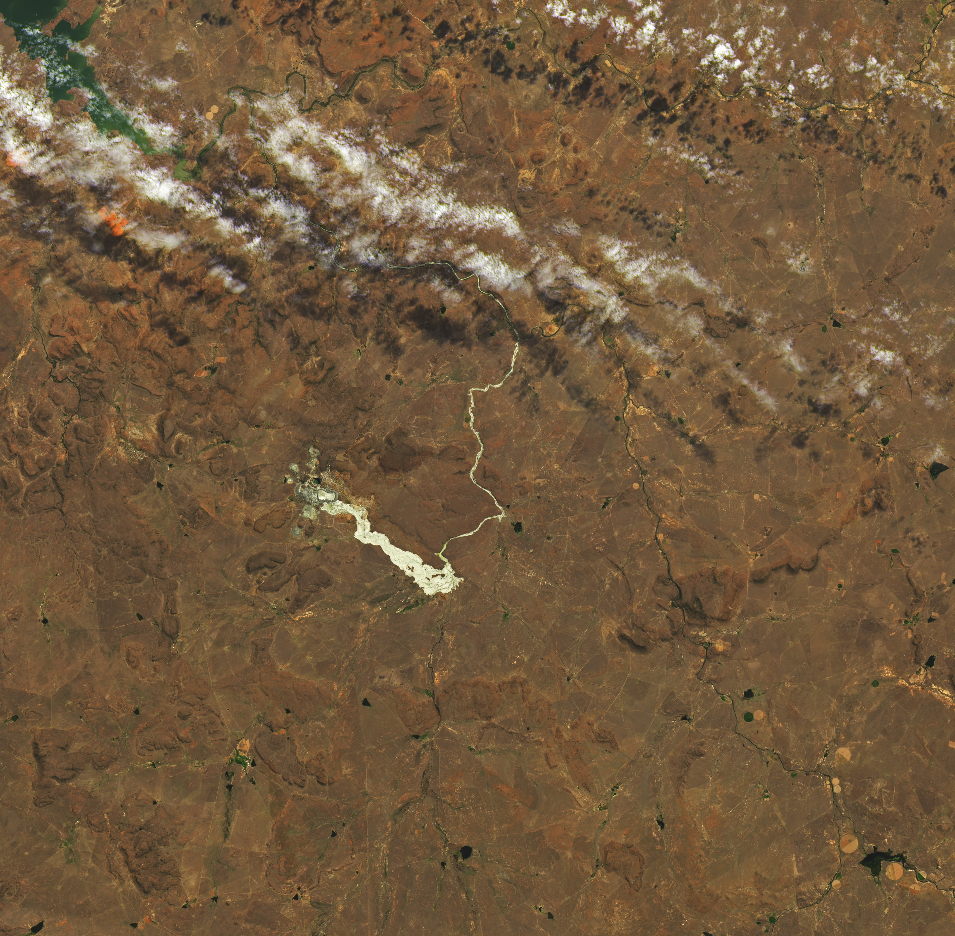
From the Air
Located at 29.77S, 25.42E in the Free State province, approximately 110 km southwest of Bloemfontein, South Africa. The mine appears from the air as a large circular open pit, one of the most geometrically perfect kimberlite pipe exposures visible from altitude. The town of Jagersfontein sits adjacent. Nearest major airport is Bram Fischer International Airport (FABL) in Bloemfontein. The terrain is typical Free State grassland, flat and dry, making the mine pit particularly conspicuous. Evidence of the 2022 tailings dam failure may be visible as disturbed ground and mud deposits downstream of the dam wall. Recommended viewing altitude: 3,000-5,000 feet AGL for the best view of the circular pit geometry.