Japanese Gulch
The steepest standard gauge railroad in the United States runs through a ravine in Mukilteo, Washington, and almost nobody knows it. Built in 1968 to haul materials to and from the Boeing plant at Paine Field, the spur climbs a 5.6% grade that split Japanese Gulch cleanly in two. The railroad is just one layer of a landscape that has been shaped by lumber mills, Japanese immigrant workers, wartime military installations, and -- in its most recent chapter -- a community that fought to keep it from becoming an industrial park.
The Workers Who Named It
In 1903, the Mukilteo Lumber Company set up operations in the gulch. The company, later known as the Crown Lumber Company, ran its mill until 1930. Many of its workers were Japanese immigrants who lived with their families in company housing clustered along the ravine. The settlement became known first by a slur, then as "Japan Gulch," and finally as "Japanese Gulch" -- the name that stuck. When the Crown Lumber Company closed, most of the Japanese workers moved away. What they left behind was not just a name but a piece of Pacific Northwest immigration history, a reminder that Japanese communities had deep roots in the timber towns of Puget Sound long before the upheavals of World War II.
From Lumber Mill to Wartime Outpost
World War II transformed the gulch again. The military recognized that Paine Field and the surrounding terrain could serve as a defensive position protecting both the Bremerton Shipyard across Puget Sound and the Boeing plant in Seattle. Japanese Gulch became part of this strategic landscape. After the war ended and the military left, Boeing developed its presence at Paine Field, and the 1968 railroad spur followed. That rail line, with its record-setting incline, became both an engineering curiosity and a physical scar, dividing the gulch's ecosystem into separate halves. In the 2000s, the gulch faced another threat: a proposed extension of Paine Field Boulevard through its heart.
Saved by Five Million Dollars
In late 2007, a development company bid on purchasing the property to build an industrial park. The community pushed back. A grassroots movement coalesced around saving the gulch, and the effort found an unlikely ally in municipal government. In 2014, the City of Mukilteo completed a purchase of 98 acres from the Metropolitan Creditors Trust of Coeur d'Alene for $5.4 million, securing the land for public use. Today, within the gulch's 1,071-acre drainage basin, the city owns 147 acres that include a dog park, waterfront access, open space, and a community garden. What was once a lumber company's backyard is now Mukilteo's largest green space.
Salmon and Woodpeckers
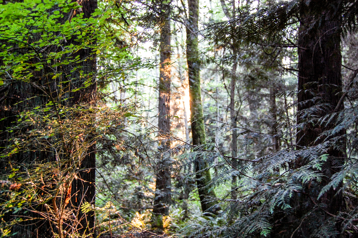
The gulch is surprisingly wild for a patch of land sandwiched between a Boeing factory and suburban development. Pileated woodpeckers drum on old-growth snags. Black-tailed deer browse along the creek. Great blue herons fish the lower reaches, and coyotes patrol the ridges. Between 2009 and 2010, the City of Mukilteo partnered with the Confluence Environmental Company to restore upstream fish passage. The team built fish ladders at multiple barrier locations, enabling Coho salmon to navigate past raised culverts. They also rediscovered a historical stream channel and redirected flow back into it, doubling the length of available habitat. The restoration came in under budget -- a rare sentence in environmental engineering -- and reconnected the gulch's waterways to the broader Puget Sound ecosystem.
From the Air
Located at 47.943N, 122.289W, immediately east of Paine Field (KPAE). The gulch is a visible green corridor running north-south between the Boeing Everett Factory complex and residential Mukilteo. Best viewed at 2,000-3,000 feet. The Boeing railroad spur cutting through the gulch may be visible on clear days. Paine Field is the nearest airport, less than a mile to the west.