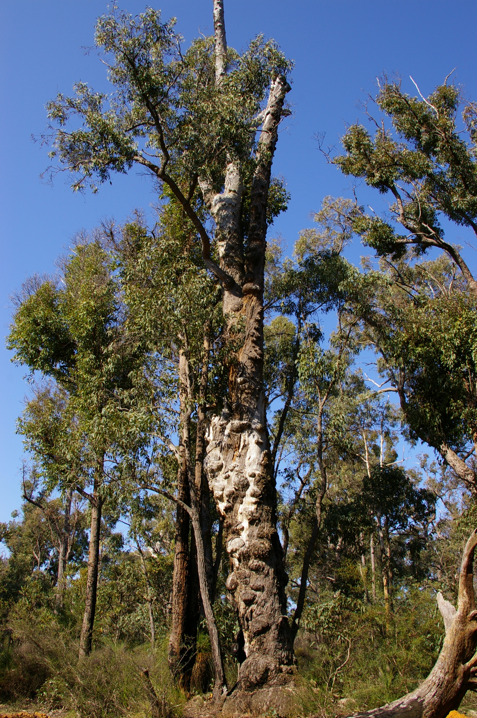
Jarrah Forest
The chuditch was once the largest carnivorous marsupial in southwestern Australia, ranging across 70 percent of the mainland. It now occupies just 2 percent. That single statistic captures the story of the Jarrah Forest: a place of extraordinary biological richness that has been cleared, mined, logged, and infected until what remains is both precious and precarious. Stretching across 4.5 million hectares of southwestern Western Australia, the Jarrah Forest bioregion takes its name from the dominant canopy tree, jarrah (Eucalyptus marginata), whose hard red timber built colonial Perth and whose laterite-rich soils now yield the bauxite that global aluminium markets demand.
The Plateau and the Scarp
The bioregion sits atop the 300-metre Yilgarn Block, an ancient inland plateau with the Darling Scarp forming its dramatic western edge above the Swan Coastal Plain. The scarp generally marks the bioregion's boundary, though the forest extends west to Cape Naturaliste. To the south lies the Whicher Range and the lower Blackwood Plateau; to the southeast, the peaks of the Stirling Range rise within Stirling Range National Park. The soils are infertile, phosphorus-poor, and often laden with salt. Rainfall follows a Mediterranean pattern, with 1,300 millimetres annually on the scarp declining to 700 in the drier northeast. The bioregion divides into two sub-regions: the Northern Jarrah Forest at nearly 1.9 million hectares and the larger Southern Jarrah Forest at 2.6 million hectares, together forming one of the planet's recognized biodiversity hotspots.
A Canopy of Survivors
Beneath the jarrah canopy, bull banksia, sheoak, snottygobble, and woody pear form a mid-storey that shelters some of the continent's rarest creatures. The numbat, Gilbert's potoroo, woylie, tammar wallaby, western ringtail possum, and red-tailed phascogale all depend on this forest. Overhead, Baudin's black cockatoo and the forest red-tailed black cockatoo crash through branches in search of seeds, while the noisy scrub-bird and western bristlebird skulk through undergrowth so dense that their presence is detected by call rather than sight. Rare orchids like Drakaea confluens and Caladenia bryceana cling to specific soil niches, and Baumea reed beds found nowhere else on Earth fringe the forest's wetlands. The Noongar people, comprising 14 language groups, have inhabited this bioregion for tens of thousands of years, with denser populations along the coastal plain and near permanent streams.
Death from Below
Phytophthora cinnamomi, an introduced soil-borne pathogen, is killing the Jarrah Forest from its roots upward. The disease forms lesions that begin in the root system and climb the stem, and in many species, there is no recovery. More than 22 percent of the forest's plant species are negatively affected. The pathogen infiltrates the specialized feeder roots of the jarrah itself, and its spread is accelerated by altered drainage from mining and timber harvesting - the very activities that first carved roads into the forest's interior. The fungicide phosphite offers some defense, especially when applied before infection, but treatment after the pathogen has established is progressively less effective. Dieback is most prevalent in the northern forest, precisely where the densest, most valuable stands grow and where mining pressure is greatest.
The Bauxite Conflict
Alcoa has mined bauxite in the Jarrah Forest since the 1960s, and the scale of the operation has provoked sustained public opposition. Scientists from the Leeuwin Group warned in 2023 of an "extinction catastrophe" if mining continued unchecked. The Environmental Protection Authority opened public review of Alcoa's mining management plans, receiving more than 59,000 submissions - a number that speaks to the depth of community feeling. In December 2023, Premier Roger Cook imposed stricter controls on Alcoa's operations. Following the closure of the public comment period, Alcoa withdrew exploration plans in parts of the Perth Hills. Meanwhile, South32's Worsley Alumina expansion was approved in late 2024 after the state government overturned environmental conditions, with federal approval following in 2025. The forest's future hangs on a question Western Australia has never fully answered: how much of a globally significant ecosystem can be dug up and put back together?
Islands of Refuge
Conservation efforts have carved protected areas from the mining leases and farmland that surround the remaining forest. Dryandra Woodland shelters more than half the world's known numbat population. The Walpole Wilderness Area, established in 2004, encompasses several national parks across the southern forest. Lane Poole Reserve is the largest protected area in the Northern Jarrah Forest. An aerial fox-baiting program has proven remarkably successful: within two to three years, mammal numbers rebounded, and 95 percent of bird species found in old-growth jarrah have been recorded in rehabilitated forests ten years and older. But the northern region, where the best forest grows, remains largely under long-term mining leases held by Alcoa and Worsley, whose operators have resisted the creation of substantial reserves with permanent A-Class protection.
From the Air
Coordinates: 33.49S, 117.03E. The Jarrah Forest bioregion is visible from altitude as a vast dark-green expanse across southwestern WA, sharply bounded by the Darling Scarp to the west and the cleared Wheatbelt to the east. Best observed at 5,000-10,000 ft AGL. Active bauxite mines appear as orange-red clearings in the canopy. Nearest airports: YPJT (Jandakot), YPPH (Perth Airport), YBUN (Bunbury). The Stirling Range is visible to the southeast as an isolated mountain formation.