Ji River
Jinan, the capital of Shandong Province with over nine million people, carries a name that translates to 'South of the Ji.' But look at a modern map and you will find no Ji River. It vanished in the 1850s, consumed by the Yellow River during one of that waterway's catastrophic course changes. The Ji River is a ghost in the landscape, a former river whose memory survives only in the place names it left behind and the present-day channels that roughly trace where it once flowed.
Parallel Rivers, Parallel Fates
During the Neolithic period, the Ji was probably a distributary of the Yellow River, sharing the same waters before diverging across the North China Plain. At some point, the Ji's own flooding pushed the Yellow River into a separate channel, and for centuries the two rivers ran roughly parallel under the Zhou, Qin, and Han dynasties. The Ji had its own significance. Under the Han dynasty, its central course passed through Daye Marsh, and its mouth opened into Qiansheng Commandery. In 483 and 482 BC, King Fuchai of Wu ordered soldiers to build the Heshui Canal connecting the Ji to the Si River, improving supply lines during his wars against the northern states of Qi and Jin. During antiquity, the Ji River served as a center of salt production, an industry as strategically important as any military campaign.
A River Reduced to a Name
Through the Qing dynasty, the lower channel of the Ji River below Dongping Lake remained alive, fed by its longtime tributary the Dawen River. This remnant was known as the Daqing River, a diminished version of what had once been a major waterway. Then came the massive Yellow River floods of the early 1850s. The Yellow River, which had been flowing below the Shandong Peninsula, abruptly shifted its course northward, swallowing the Daqing River channel entirely. The Ji River, which had been dying by degrees for centuries, ceased to exist as an independent waterway. Today, the Xiaoqing River roughly follows the path of the lower Ji as it was documented in Tang dynasty records. The two cities that carry the Ji's name -- Jiyuan, meaning 'Source of the Ji,' and Jinan, meaning 'South of the Ji' -- persist as the river's most enduring legacy.
When Rivers Rewrite Geography
The Ji River's disappearance is part of a larger pattern that defines the hydrology of the North China Plain. The Yellow River, carrying its enormous silt load, has shifted its course dramatically at least half a dozen times in recorded history, sometimes flowing south of the Shandong Peninsula, sometimes north of it, destroying some rivers and creating others in the process. The Ji was simply one of the casualties. Its story inverts the usual relationship between rivers and civilization: normally, cities are built because rivers exist. In the case of the Ji, the cities endure while the river does not. Flying over the flat Shandong landscape today, you can trace the vague depressions and channel remnants where the Ji once flowed, but without a map from the Tang dynasty, you would never know a river had been there at all.
From the Air
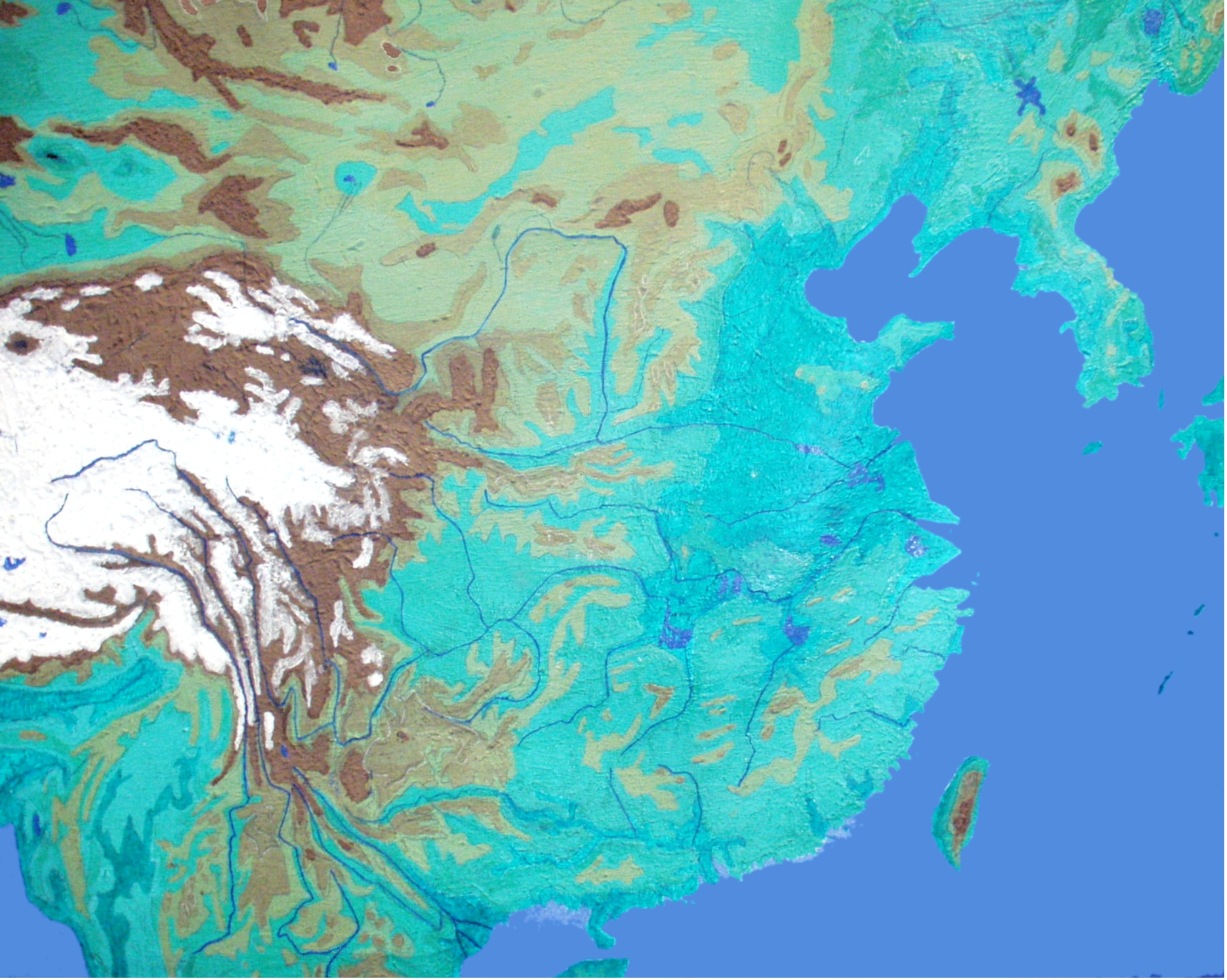
The former Ji River's approximate course runs through the North China Plain in Shandong Province. The article is geolocated at 37.77N, 119.10E. The Xiaoqing River, which roughly follows the lower Ji's former path, is visible from altitude. The Yellow River, which absorbed the Ji's channel, is the dominant feature. Nearest airports: Jinan Yaoqiang International (ZSJN), Dongying Shengli Airport (ZSDY). Best viewed at 5,000-10,000 ft to appreciate the flat plain and channel remnants.