Jimmy Carter National Historical Park
Plains, Georgia, has a population of about 600 people, and one of them was the 39th President of the United States. Jimmy Carter was born here in 1924, grew up on a farm three miles outside town where he sold boiled peanuts on the street for a dollar a day, left for the Naval Academy, and then came back. He always came back. After the White House, after the Nobel Peace Prize, after decades of global diplomacy, Carter returned to the same house at 209 Woodland Drive where he and Rosalynn had lived since 1961. The Jimmy Carter National Historical Park preserves the places that shaped this unlikely trajectory: the boyhood farm, the high school, the train depot that became his 1976 campaign headquarters, and now the gravesite where he and Rosalynn rest together.
A Farm Before Electricity
The Carter boyhood farm sits in Archery, about three miles from Plains. Earl and Lillian Carter raised their family on 360 acres where peanuts, cotton, corn, and sugarcane grew in the deep south Georgia soil. The house had no running water until Jimmy was 11 years old, and electricity did not arrive until he was 14, in 1938. Today the National Park Service has restored the farm to its pre-electrification appearance: the windmill-powered water pump, the blacksmith shop, the family country store, and the tenant houses where African American families like the Clarks lived and worked alongside the Carters. Walking the grounds, you encounter a world that the modern South has almost entirely erased, one where a future president's childhood was shaped by kerosene lamps, hand-drawn water, and the rhythms of planting and harvest.
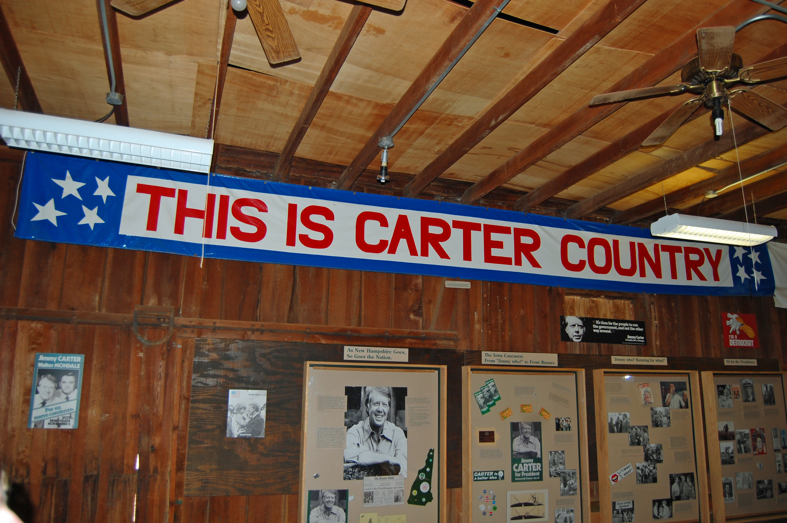
The Train Depot That Changed Everything
In the center of Plains stands a small railroad depot that in 1976 became the most improbable campaign headquarters in presidential history. Carter, a peanut farmer and one-term Georgia governor, ran for president from this building at a time when almost nobody outside the state had heard of him. The depot served as the nerve center of a grassroots campaign that stunned the political establishment. Visitors can still walk through the rooms where volunteers made phone calls and stacked yard signs, a physical reminder that the distance between a rural train station and the Oval Office can be measured in determination as much as miles.
The School They Shared
Plains High School opened in 1921 and closed in 1979, and in between, both Jimmy and Rosalynn Carter walked its halls. The building now serves as the park's museum and visitor center, with a restored classroom, principal's office, and auditorium that look as they did when Carter attended. The transformation from working school to presidential museum captures something essential about Plains itself: this is a town where the institutions are small enough that one building can hold both the ordinary and the historic, where a classroom that taught a future president also taught his future first lady, and where the auditorium that hosted school plays later hosted the story of a presidency.
Coming Home to Woodland Drive
After leaving Washington in 1981, the Carters returned to Plains and to the house at 209 Woodland Drive, which had served as Carter's Summer White House during his presidency. From here, Carter and Rosalynn built the Carter Center in Atlanta, championing human rights, disease eradication, and global peace. Carter taught Sunday school at Maranatha Baptist Church, open to anyone who showed up. The home is not yet open to visitors, but across Woodland Drive, the gravesite and memorial garden where Jimmy and Rosalynn Carter now rest became publicly accessible in July 2025. The setting is quiet: a pond, a willow tree, and the Georgia earth that held a president from the beginning.
From the Air
Jimmy Carter National Historical Park is located at 32.03N, 84.42W in Plains, Georgia (Sumter County). The town is small and flat, set in the agricultural landscape of southwest Georgia. Jimmy Carter Regional Airport (KACJ) in nearby Americus is approximately 10 miles northeast and is the closest airport. Southwest Georgia Regional Airport (KABY) in Albany is about 40 miles south. The park sites are spread across the town; the boyhood farm in Archery is 3 miles southwest. Best viewed at 1,500-2,500 feet AGL. The flat terrain and grid-pattern roads of Plains are easy to spot.