Jingshan Park
The last Ming emperor hanged himself from a tree here. That single fact has shaped how Beijing remembers Jingshan Park for nearly four centuries, but the hill itself predates the dynasty's end by more than two hundred years. Rising 45.7 meters above the flat plain of central Beijing, this is not a natural formation. Every grain of soil was dug from the moats surrounding the Forbidden City during the Yongle Emperor's reign and carried here by hand and animal to create what feng shui principles demanded: a protective barrier to shield the imperial palace from harmful northern winds and malevolent yin energy.
A Mountain Made by Hand
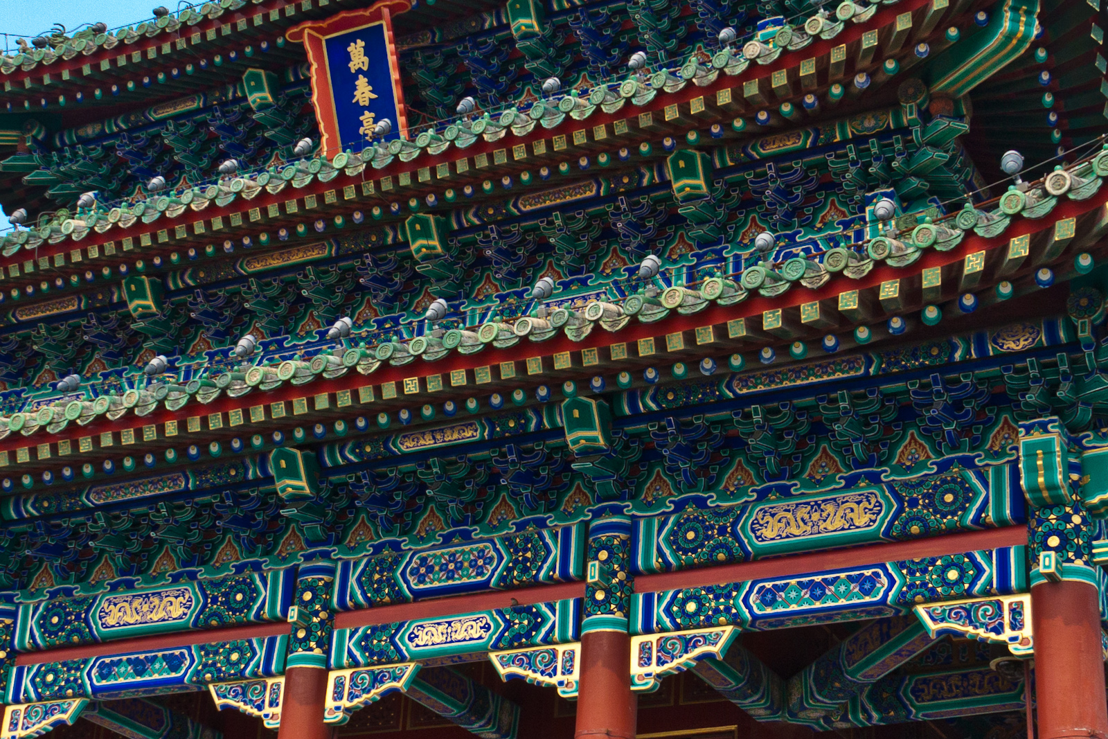
The story of Jingshan begins with a problem of geometry. When the Yongle Emperor ordered the construction of the Forbidden City in the early fifteenth century, workers dug enormous moats around the palace complex. The excavated earth had to go somewhere. Rather than haul it away, engineers shaped it into five peaks along Beijing's central north-south axis, creating an artificial mountain that would serve both practical and spiritual purposes. The dictates of feng shui had long held that residences and tombs should sit south of a hill, and Jingshan became that hill for the entire imperial complex. Locals called it Feng Shui Hill, though another nickname persisted for centuries: Coal Hill, born from a rumor that the emperors kept a secret coal reserve hidden within. On each of the five summits, builders erected elaborate pavilions where officials could gather and take in the view of the capital stretching in every direction.
The Tree Where a Dynasty Died
In April 1644, Li Zicheng's rebel army breached Beijing's walls. The Chongzhen Emperor, last ruler of the Ming dynasty, retreated to Jingshan as his capital fell around him. There, on the slope of the hill that his ancestors had built to protect the palace, he hanged himself from a tree. The act ended 276 years of Ming rule. The tree became a landmark of its own, known as the Zuihuai, the "guilty locust." For centuries, visitors sought it out as a site of reflection on how quickly power can collapse. The irony was not lost on anyone: a hill constructed to channel protective energies could not shield the dynasty from its own failures. The spot where the emperor died became one of the most loaded pieces of ground in all of Beijing, a reminder that even the grandest imperial projects cannot hold back the tide of history.
From Imperial Garden to Public Park
For most of its existence, Jingshan was unreachable to ordinary Beijingers. It sat within the Imperial City grounds, accessible only through the Gate of Divine Might at the Forbidden City's northern wall. That changed in 1928, when a new road called New Jingshan Street was cut between the palace moat and the park, physically separating the two for the first time. The park opened to the public that same year. What had been the exclusive retreat of emperors became a neighborhood gathering place. Today, the 23-hectare park is best known not for its imperial past but for its present-tense vitality. On any given morning, elderly residents claim patches of shade beneath ancient trees to practice kuaiban rhythmic clapping, sing Peking opera, or dance in slow, synchronized groups. The pavilion-crowned peaks remain, and from the central summit the view delivers one of the most complete panoramas of the Forbidden City's golden rooftops available anywhere in the city.
The View from the Top
Climbing Jingshan's central peak takes only a few minutes, but the reward is disproportionate to the effort. From the pavilion at the summit, the entire layout of the Forbidden City unfolds to the south, its symmetry and scale comprehensible in a way that is impossible from ground level. To the west, the white dagoba of Beihai Park rises above its lake. The modern skyline of Beijing stretches to the east and north, a wall of glass and steel that makes the ancient rooftops below look almost miniature. This vantage point sits precisely on Beijing's historic central axis, the same line that runs from the Temple of Heaven through Tiananmen Square and the Forbidden City. The park's five peaks trace that axis, a geological signature of the city's original urban plan. Standing here, with the old capital laid out below and the new one rising behind, Jingshan offers what few places in Beijing can: a single view that holds centuries of the city's history in one frame.
From the Air
Located at 39.92°N, 116.39°E, immediately north of the Forbidden City. From the air, the park's five peaks and circular layout are visible as a green patch between the Forbidden City's rectangular roofline and the Drum and Bell Towers. Best viewed at 2,000-3,000 feet. Nearest airport: Beijing Capital International (ZBAA), approximately 25 km northeast.