John McLaren Park
In 1981, the San Francisco Examiner ran a headline that said it all: McLaren Park: great potential, much trash. San Francisco's third-largest park had logged two murders, six rapes, and eighteen car thefts the previous year. A generation later, the park's crime-fueled reputation had an unexpected silver lining: because people stayed away, McLaren Park preserved the largest native grasslands left in San Francisco. Sometimes neglect is the best conservator.
From Mexican Land Grant to Urban Wilderness
The 312 acres that make up McLaren Park were once part of Rancho Canada de Guadalupe la Visitacion y Rodeo Viejo, an 1840 land grant from Mexican Governor Juan Bautista Alvarado. In 1905, the great urban planner Daniel Burnham issued his sweeping plan for San Francisco, recommending that this land be reserved for parks because residents in the city's southern neighborhoods had inadequate green space. The Board of Supervisors authorized the purchase of 550 acres in 1926, envisioning an 18-hole golf course, equestrian trails, and possibly a relocated city zoo. But a bond measure to fund the full purchase failed in 1928, and the park was gradually assembled from smaller parcels. By the time the Master Plan was published in November 1944, only 222 acres had been acquired. The park that exists today, at 312 acres, is the third largest in San Francisco after Golden Gate Park and the Presidio.
The Freeway That Never Was
Mansell Street runs through McLaren Park far wider than the city streets it connects with on either side. The reason is not poor planning but abandoned planning: the road was designed and partially built as a segment of the Crosstown Freeway, one of several elevated highways proposed for San Francisco in the postwar era. The San Francisco Freeway Revolts killed the project, along with plans that would have carved expressways through the Western Addition, the Haight, and other neighborhoods. What Mansell Street left behind is a bizarre relic, a boulevard-scale road cutting through a park that otherwise feels untouched, a reminder that McLaren Park nearly became an interchange rather than a preserve.
Jerry Garcia's Backyard
Jerry Garcia grew up at 87 Harrington Street, not far from the park's southeastern corner. In 2005, the Herz Playground amphitheater was renamed the Jerry Garcia Amphitheatre in his honor. Every August, Jerry Day draws Grateful Dead fans to the amphitheater for a daylong celebration that feels like a time capsule from a San Francisco that is rapidly disappearing. The park offers other surprises. The Philosopher's Way, a 2.7-mile loop trail funded by the San Francisco Public Utilities Commission, features fourteen stone markers by mason George Gonzalez intended as musing stations to stimulate contemplation. From the trail, you can see Mount Diablo, Mount Tamalpais, Angel Island, and the Pacific Ocean on a clear day. La Grande Tank, a decommissioned water tower standing 80 feet tall, has been converted into a viewing platform at the park's summit.
The Steepest Slopes in a Steep City
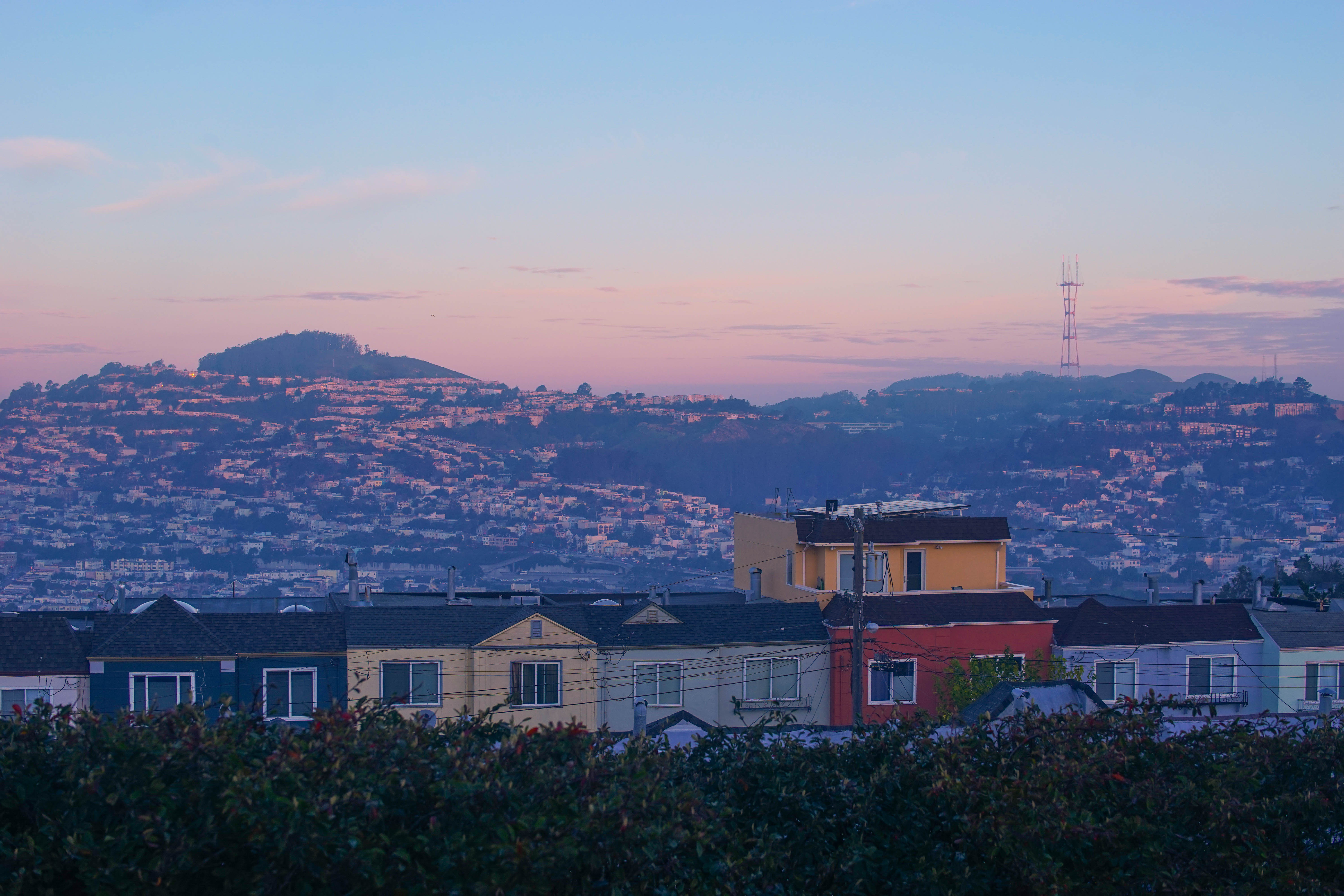
Even in San Francisco, a city famous for its hills, McLaren Park stands out. Only 19 percent of its area has slopes gentle enough to be considered easily buildable. Half the park consists of slopes between 10 and 25 percent grade. More than a third exceeds 25 percent grade, terrain steep enough to make walking a workout and development impossible. This topography is exactly why the park survived. Land too steep to build on was land nobody wanted, until Burnham recognized its value as open space. The old Wilde Reservoir, once used for city tap water and later a nocturnal dumping ground for trash, has been reclaimed as a viewing platform with a 35-foot tower built in its center. The McLaren Park Vision Plan, approved in 2017, has guided recent improvements including the Redwood Grove Playground, community gardens, and upgraded trails. The park is finally becoming what Burnham imagined, but its wildness, the grasslands, the steep ravines, the sense of being miles from a city that is actually all around you, is what makes it worth the climb.
From the Air
Located at 37.72°N, 122.42°W in southeastern San Francisco. The park's 312 acres of hilly terrain are visible as a large green space between the Excelsior, Visitacion Valley, and Portola neighborhoods. La Grande Tank water tower is identifiable from the air. Nearest airports: SFO (KSFO, 7 nm south), Oakland (KOAK, 11 nm east). The park's elevation provides views of San Francisco Bay and the surrounding hills.