Jonglei State
Somewhere in the flat expanse of eastern South Sudan, a giant German-built excavation machine sits rusting in the sun. Variously nicknamed "Sarah" or "Lucy," it was disabled by a missile in the early 1980s and has not moved since. The machine was building the Jonglei Canal, a 360-kilometer channel designed to bypass the Sudd wetlands and deliver more of the White Nile's water to Egypt and Sudan. Construction began in 1978 and reached 240 kilometers before the Sudan People's Liberation Army shut it down. The canal was never completed. The machine remains where it fell, visible on satellite imagery -- a rusting monument to the tensions between development, ecology, and war that have defined Jonglei State for half a century.
Land of the White Nile
Jonglei State covers approximately 122,581 square kilometers, making it the largest of South Sudan's states before the 2015 reorganization. It sprawls across the east-central part of the country, bordered by Upper Nile State to the north, Ethiopia to the east, and several states to the south and west. The White Nile flows through the western part of the state, while the Pibor River and its tributaries drain a watershed of 10,000 square kilometers in the central-east. In the southern reaches lies the Kenamuke Swamp, part of Boma National Park, where a 2007 survey estimated more than 1.3 million animals. The principal town, Bor, sits in the southwestern corner -- a small city that has served as an administrative center since the days of Anglo-Egyptian Sudan and that became the flashpoint for the Second Sudanese Civil War when fighting erupted there in 1983.
Missions, Schools, and the Seeds of Resistance
Bor's modern history begins with the arrival of Archibald Shaw, who established the first Christian mission in what is now South Sudan at the settlement of Malek, about 19 kilometers south of Bor, in December 1905. Shaw opened the first primary school, and the Church Missionary Society station he founded produced Daniel Deng Atong, the first indigenous Anglican bishop consecrated in Dinka land, baptized in 1916. In 1912, the British established Pibor Post -- originally called Fort Bruce -- as a colonial outpost in the eastern part of the state. These institutions planted seeds that would grow in unexpected directions. The First Sudanese Civil War broke out in 1955 with a southern rebellion in Torit; the Second erupted in Bor itself in 1983. Jonglei has been both a place of learning and a place of revolt, and often both at once.
The Weight of Violence
The 21st century has brought Jonglei relentless ethnic conflict, driven by competition over cattle, land, and water among the state's Dinka, Nuer, and Murle communities. The numbers are numbing in their scale. In 2009 alone, 86,000 people were displaced and at least 1,248 killed. A single attack at Lilkwanglei in March 2009 claimed 450 lives and displaced 5,000 people. By May 2012, the state governor reported 3,651 people killed, 1,830 children abducted, and nearly four million cattle stolen. The broader South Sudanese Civil War, which began in December 2013, magnified every existing fault line. The UN estimated that the ongoing clashes had affected the lives of over 140,000 people. Behind each of these statistics are families shattered, communities uprooted, and children who grew up knowing no other reality. Peace conferences have been signed and broken; the Bor Peace Conference of May 2012 was followed by fresh attacks within days.
The Canal That Never Was
The Jonglei Canal remains the state's most ambitious and most controversial project. Conceived in the 1970s to divert White Nile water around the Sudd wetlands, it promised to increase Egypt's water supply by five to seven percent. But the canal displaced thousands of local people, deprived communities of dry-season grazing land, and threatened the ecological integrity of the Sudd -- one of the world's largest freshwater wetlands. Researchers from Iowa State University later concluded that the irrigation scheme would never have worked as planned, and that the canal's environmental impact could have been comparable to the draining of the Aral Sea. The Wildlife Clubs of South Sudan, founded in 1979, led the campaign against the project. Today, Jonglei's economy remains dependent on livestock, rain-fed agriculture, and fishing. Healthcare is desperately inadequate -- when Medecins Sans Frontieres pulled out of Bor Hospital in 2009 over security concerns, the state lost its most capable medical provider.
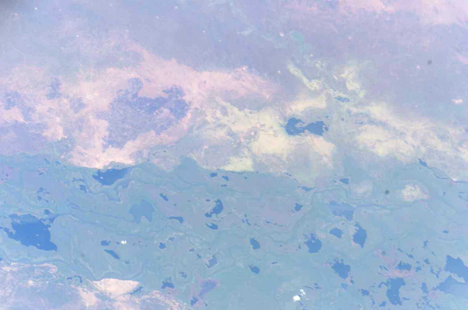
From the Air
Jonglei State is centered around 7.40N, 32.07E in eastern South Sudan. From altitude, the dominant features are the White Nile corridor to the west and the vast flat floodplains that characterize the state. The partially excavated Jonglei Canal is visible on satellite imagery running roughly north-south. The capital Bor has a small airport (ICAO: HSBR). Boma National Park occupies the southeastern portion of the state near the Ethiopian border. Terrain is flat at 400-500m ASL with seasonal flooding that transforms the landscape. Best visibility during dry season (December-March).