Joseph D. Grant County Park
The stone pillars of the old ranch gate still stand along the road to Mount Hamilton, but the cattle they once corralled are long gone. In their place, 10,882 acres of oak woodland, rolling grassland, and spring-fed creeks stretch across the eastern foothills of the Diablo Range, making Joseph D. Grant County Park the largest park in Santa Clara County. The land tells a layered story: a Mexican land grant from 1839, a Gold Rush fortune reinvested in rangeland, a family's century-long stewardship, and a county's decision to preserve it all before Silicon Valley's sprawl could swallow another hillside.
From Land Grant to Gold Rush Fortune
In 1839, Governor Juan Bautista Alvarado granted 15,000 acres to Jose de Jesus Bernal, who named the spread Rancho Canada de Pala. Bernal and his brothers built adobes near a spring-fed pond on a ridge overlooking the Santa Clara Valley, running cattle and horses across the open hills. Decades later, Adam Grant, a San Francisco merchant who had made his fortune selling dry goods to gold miners through Murphy, Grant, & Company, began buying parcels of the old rancho in 1880. His son Joseph D. Grant inherited and expanded the holdings, eventually controlling much of the southern portion of the rancho and the land around Hall's Valley. For nearly a century the Grant family ran cattle here, using the property for grazing, recreation, and hunting in the shadow of Mount Hamilton.
The Ranch House on the Ridge
The main ranch house tells its own story of transformation. Originally built by Adam Hubbard around 1881, it was a modest structure suited to a working ranch in the Diablo Range foothills. When Joseph D. Grant took ownership in the early twentieth century, he remodeled the house in the colonial revival style during the 1930s, adding a cookhouse, servants' quarters, additional residences, a rose garden, and a large aviary. The complex became as much a country retreat as a working ranch, a place where a San Francisco family could escape the fog and entertain among the oaks. Today the Grant Ranch House still stands, and Santa Clara County Parks offers guided tours that trace the building's evolution from frontier homestead to gentleman rancher's estate.
Where the Trails Run Wide
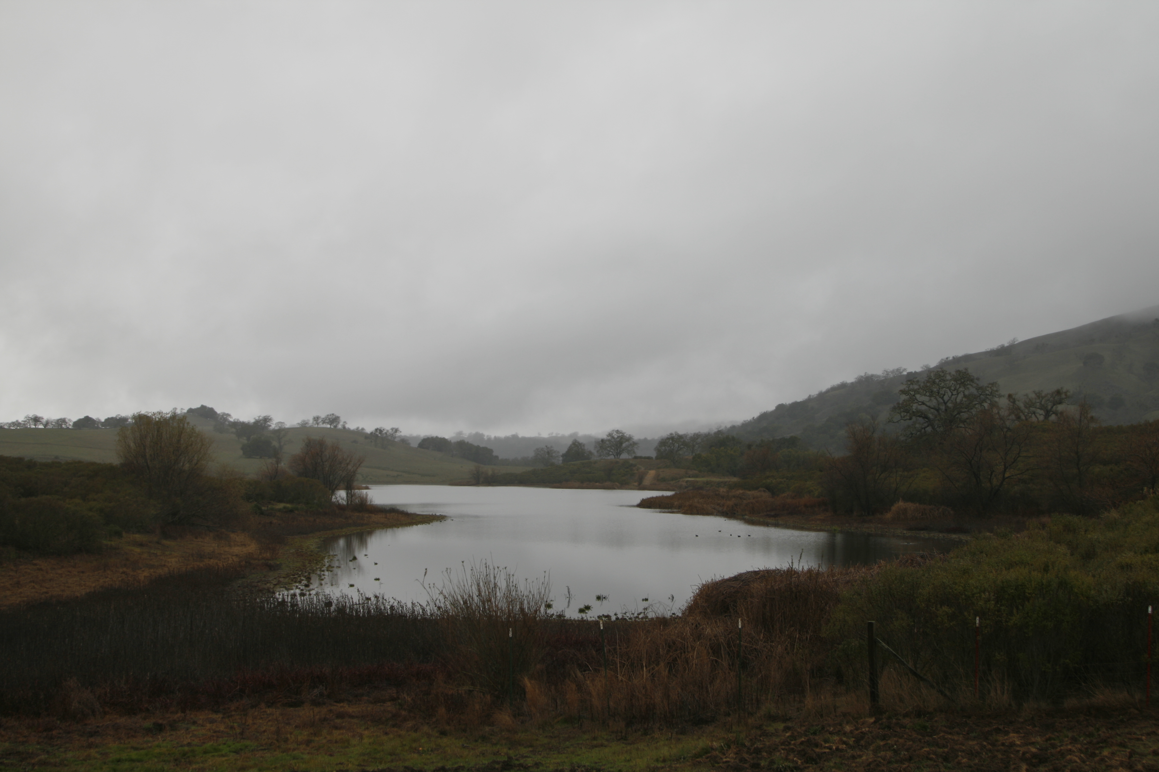
Fifty-one miles of trails lace the park, ranging from gentle creekside paths to steep ridgeline routes that climb toward the 4,209-foot summit of Mount Hamilton. Mountain bikers, equestrians, and hikers share the network, which passes through habitats that shift with elevation: valley oak savanna gives way to blue oak woodland, then chaparral and mixed evergreen forest as the terrain steepens. Grant Lake, a small reservoir ringed by grassland, offers a midwinter stillness that contrasts with the midsummer heat of the exposed ridges. Along the Corral Trail and the Canada de Pala Trail, remnants of the ranching past appear in old fence lines, stock ponds, and the occasional rusted water tank hosting a tree that has taken root in its basin.
Burrowing Owls and Western Pond Turtles
The park's size and variety of habitats support species that have lost ground elsewhere in the Santa Clara Valley. Burrowing owls nest in the grasslands, occupying ground squirrel burrows in the open fields where cattle once grazed. Western pond turtles, a species of special concern in California, inhabit the creeks and stock ponds that dot the landscape. The birdwatching is rewarded by the park's position on the western slope of the Diablo Range, where migrating raptors ride thermals along the ridgeline. For a county whose flatlands are now paved with data centers and subdivisions, these 10,882 acres serve as a biological bank account, holding species and habitat types that the valley floor has largely spent.
From the Air
Located at 37.35°N, 121.69°W on the western slopes of Mount Hamilton in the Diablo Range. Norman Y. Mineta San Jose International Airport (KSJC) is approximately 15 miles west. Reid-Hillview Airport (KRHV) is about 10 miles southwest. The park's rolling grasslands and oak woodlands are visible from altitude as a large green-to-golden expanse east of the San Jose urban area. Mount Hamilton Road (SR 130), which winds through the park to Lick Observatory at the summit, is a recognizable landmark.