Juma Sustainable Development Reserve
Somewhere between the Mariepaua and Acari rivers, in the deep interior of Amazonas state, ceramics and stone axes lie buried in the soil -- evidence that people have farmed this land for nearly two thousand years. The Juma Sustainable Development Reserve covers 589,611 hectares of that same ground, and the 157 families who live here today carry on a relationship with the forest that predates European contact by centuries. What makes Juma different from dozens of other Amazonian reserves is a single distinction: in 2008, it became the first place in Brazil to be funded through a REDD project, turning the simple act of not cutting down trees into a source of income.
A River-Drawn Map
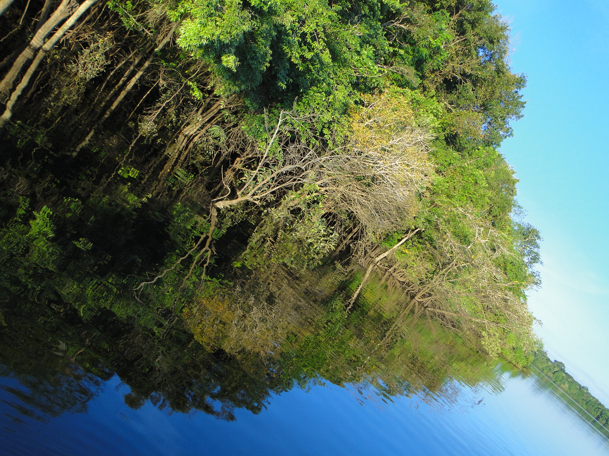
The reserve reads like a lesson in Amazonian geography. The Mariepaua River, a tributary of the mighty Madeira, traces the western boundary. The Acari River marks the east. Between them, the northern reach of the Aripuana River cuts through the interior before emptying into the Madeira near the municipal seat of Novo Aripuana, while the smaller Araua River threads its way north through the forest canopy. These waterways are not just boundaries on a map -- they are the roads, the markets, and the lifelines of the communities that depend on them. About eleven settlements dot the reserve, their residents engaged in farming, small-scale logging, gold mining, and the extraction of copaiba oil, a resin tapped from tropical trees and valued for its medicinal properties. The AM-360/AM-174 highway cuts through the southeast corner, a reminder that the outside world presses closer every year.
Twenty-One Primates and Counting
The Aripuana River region holds a biological distinction that even seasoned researchers find remarkable: twenty-one species of primates have been documented here, the highest level of primate diversity recorded anywhere on Earth. The clear waters of the Aripuana -- one of the Madeira's largest tributaries -- nourish a mosaic of ecosystems. Dense lowland rainforest gives way to submontane forest on higher ground. Along the riverbanks, floodplain forests split into two types that Brazilians distinguish by water color: varzea, fed by the pale sediment-rich currents, and igapo, darkened by tannins leached from decaying leaves. Researchers have identified roughly 242 plant species in a unique floral formation, and two fish species previously unknown to science turned up in the Mariepaua River alone. Four hundred bird species have been catalogued so far, with estimates suggesting the true count may reach six hundred.
Paying Forests to Stand
By 2007, more than seventeen percent of the original Amazon forest had been destroyed, and computer models projected that figure could reach thirty percent by 2050 under a business-as-usual scenario. Paving the BR-319 and AM-174 highways would only accelerate the loss. The state government of Amazonas created the Juma reserve on July 3, 2006 -- by decree 26.010 -- as part of a broader strategy to halt the advance. But protection on paper means little without economic alternatives for the people who live inside those boundaries. The Juma REDD Project, implemented in 2008 by the Fundacao Amazonas Sustentavel with financial backing from Marriott International, offered one: payments tied to keeping the forest intact. It was the first initiative of its kind under the State Policy on Climate Change, and it redirected money that would otherwise have flowed toward logging into programs supporting the local population -- a marginalized and vulnerable group whose survival depends entirely on the forest around them.
Guardians and Governance
Running a reserve the size of a small country requires structure. The Juma RDS is administered by the Centro Estadual de Unidades de Conservacao do Amazonas, and its deliberative council was formally established on July 17, 2009. A management plan followed in March 2010, approved that September. The stated purpose reaches beyond simple conservation: the reserve exists to sustain and improve the way of life of its traditional population, and to preserve their accumulated knowledge of managing the environment and exploiting natural resources sustainably. The Amazon Region Protected Areas Program provides additional support, linking Juma to a continental network of conservation efforts. Yet the threats remain tangible. Soy plantations push closer from the south. Planned hydroelectric dams on the upper Aripuana in Mato Grosso could reshape the landscape and disrupt the biota that makes this region so extraordinary. The question the Juma reserve poses is whether carbon credits and governance structures can move fast enough to outpace the bulldozers.
From the Air
Located at 5.98S, 60.36W in the deep interior of Amazonas state, Brazil. The reserve sits between the Mariepaua and Acari rivers, with the Aripuana River running through it. From cruising altitude, the unbroken canopy stretches to every horizon -- look for the river corridors as the primary landmarks. The nearest significant airport is Manaus (SBEG), approximately 250 km to the north. The municipal seat of Novo Aripuana has a small airstrip (SWNA). Recommended viewing altitude: FL350 for the full scale of the reserve, or 3,000-5,000 feet for river detail.