Kainji National Park
Hippos surface in the Oli River at dusk, their eyes and nostrils breaking the water in a line that stretches toward the far bank. Somewhere in the surrounding Guinea savanna, a ground hornbill calls, its deep boom carrying across grassland dotted with inselbergs. Kainji National Park covers 5,341 square kilometers of western Nigeria, a territory assembled in 1978 from two older game reserves and a section of the artificial lake that gives the park its name. It is one of the largest protected areas in West Africa, and one of the least visited.
Two Reserves, One Park
The park is not a single continuous wilderness but a collection of three distinct zones. To the west of Kainji Lake lies the Borgu Game Reserve, covering more than 3,929 square kilometers of savanna woodland. Southeast of the lake, the Zugurma Game Reserve adds another 1,370 square kilometers. Between them, a protected section of the reservoir itself connects the terrestrial habitats with aquatic ones. The merger of Borgu and Zugurma in 1978 created a park large enough to support wide-ranging species like elephants and lions. Since 2005, Kainji has been designated a Lion Conservation Unit alongside Yankari National Park, an acknowledgment that these two reserves represent some of the last viable lion habitat in the region.
The Creatures of the Savanna
The park's fauna reads like an inventory of West African wildlife that has been squeezed out of most of its former range. Elephants, buffalo, roan antelope, and hartebeest move through grasslands broken by gallery forest along the rivers. Baboons and patas monkeys occupy the woodland edges. Nile crocodiles patrol the waterways, and clawless otters fish the quieter tributaries. Approximately 350 bird species have been recorded, from the imposing secretary bird and ground hornbill to smaller species like oriole warblers and bee-eaters. Great white pelicans work the lake margins, and rare pale arctic migrants pass through seasonally. The park is managed by the Federal National Park Service, which gives rangers the authority to pursue poaching cases under national park law rather than through local courts, a legal distinction that matters in a region where bushmeat hunting remains a persistent pressure.
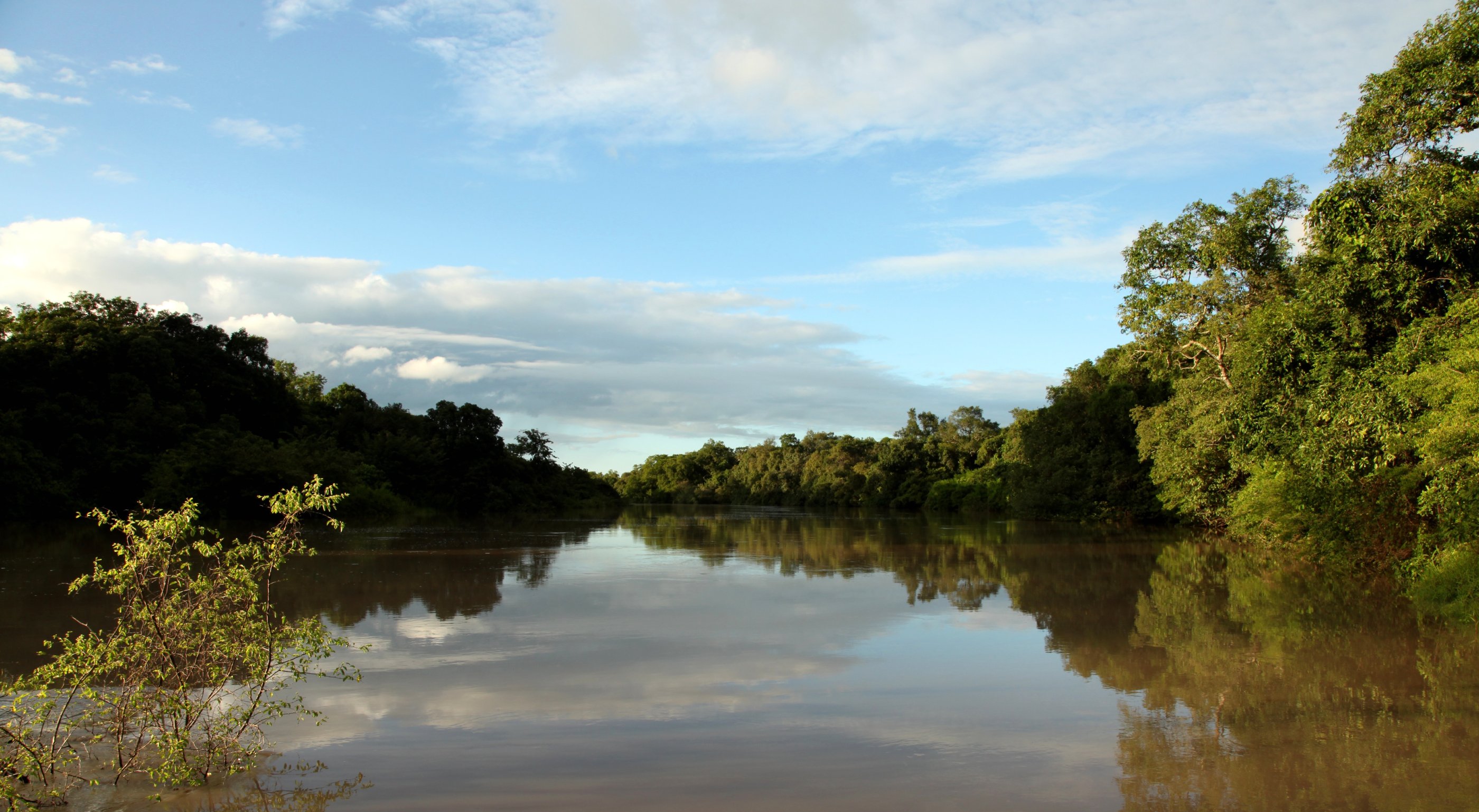
A Landscape Shaped by Water and Stone
The terrain undulates between rounded inselbergs, isolated rock formations that rise above broad pediments of eroded laterite. Rivers including the Oli, Menei, Doro, and Manyara carve channels that slope toward the Niger River valley, feeding the park's scattered waterfalls and seasonal pools. The climate swings between distinct wet and dry seasons: rains arrive in April and persist through November, delivering 1,100 to 1,200 millimeters annually. Temperatures range from cool mornings around ten degrees Celsius during the harmattan to regular highs near thirty degrees. The park opens to visitors from December through June, when the dry season makes roads passable and animals concentrate near remaining water sources.
The Ghost Town Beneath the Lake
Kainji Lake, the man-made reservoir that forms the park's eastern boundary, stretches 136 kilometers and hides a piece of history beneath its surface. The town of Old Bussa once stood here, notable as the place where the Scottish explorer Mungo Park met his end in 1806 during his second expedition to trace the Niger River to the sea. When the Kainji Dam was completed in 1968, the rising waters swallowed Old Bussa entirely. New Bussa was built to replace it, but the original town and whatever physical traces of Park's final journey it contained now lie at the bottom of the reservoir. Visitors can arrange boat tours of the lake through the Borgu Game Reserve office at Wawa, and fishing is permitted with authorization from the Nigeria Electric Power Authority.
From the Air
Located at 10.37N, 4.55E in Niger State, Nigeria. The park's 5,341 square kilometers are bordered by Kainji Lake to the east, a prominent landmark visible from high altitude. The reservoir stretches 136km and is unmistakable from the air. Nearest airports include Ilorin International Airport (DNIL) to the south and Minna Airport (DNMN) to the east. The savanna terrain with scattered inselbergs is visible from 5,000-15,000 feet. The Kainji Dam at the lake's southern end is a clear reference point for navigation.