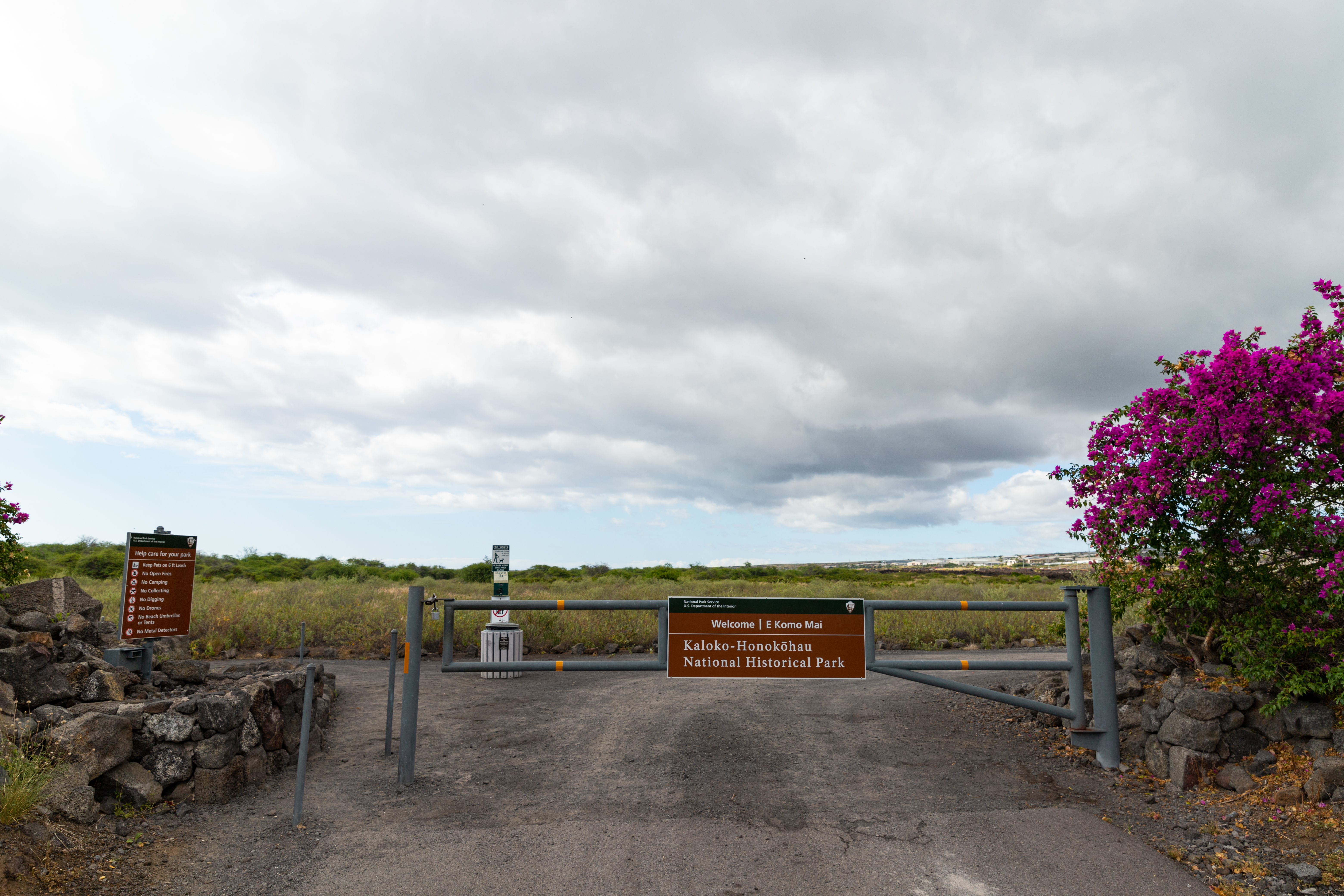
Kaloko-Honokohau National Historical Park
The ancient Hawaiians had a name for this stretch of the Kona coast: kekaha 'a'ole wai, lands without water. Black lava rock bakes under relentless sun, and rainfall here is scarce enough that the landscape looks more like a volcanic wasteland than a place anyone would choose to live. Yet people did live here, for hundreds of years, and they did not merely survive. They thrived. The secret was the sea. Kaloko-Honokohau National Historical Park preserves the evidence of one of ancient Hawaii's most sophisticated coastal settlements, a place where ingenious engineering turned a seemingly inhospitable shoreline into a community rich with food, culture, and spiritual life.
Walls Built Without Mortar
The park's most impressive feature is the Kaloko fishpond, whose kuapa, or seawall, stretches 750 feet along the coast. The wall is over 30 feet wide and 6 feet high, constructed entirely by hand from interlocking lava stones without any mortar. The engineering is remarkable. The angle and spacing of the stones were designed to deflect ocean surf, and the structure has performed better against wave action than many modern concrete seawalls. The first recorded reference to the pond comes from the story of Kamalalawalu, placing its use at roughly 300 years ago. Kaloko itself means "the pond" in Hawaiian, a straightforward name for a feature that was anything but simple. The fishpond allowed Hawaiians to cultivate fish in a controlled environment, trapping young fish that entered through small openings in the wall and harvesting them as they grew too large to escape.
Mountain to Sea
The park encompasses portions of four ahupua'a, the traditional Hawaiian land divisions that ran from the mountain peaks down to the sea. This system ensured that each community had access to the full range of resources the island offered, from upland forests to coastal fishing grounds. The park's landscape is layered with evidence of this integrated way of life. Loko i'a, or fishponds, provided protein. Kahua, stone house platforms, mark where families lived. Ki'i pohaku, petroglyphs carved into lava rock, record stories and events. Holua, stone slides used for a Hawaiian form of lava sledding, speak to the recreational life of the community. Heiau, religious temple platforms, anchor the spiritual dimension. The 'Ai'opio Fishtrap, a 1.7-acre pond designated a National Historic Landmark in 1962, used a stone wall along a bay's natural curve to create an artificial enclosure where fish could be easily harvested at low tide.
A Wetland Refuge
The 'Aimakapā fishpond has become one of the most important wetland habitats on the island. Native Hawaiian birds that have lost habitat elsewhere find sanctuary here, including the koloa maoli, the endangered Hawaiian duck, and the 'alae ke'oke'o, the Hawaiian coot. Hawaiian stilts, known as ae'o, pick their way through the shallows on impossibly long legs, while black-crowned night herons watch from the pond edges. The area surrounding the ponds is undergoing active reforestation, with non-native invasive plants being removed to restore conditions closer to what the original settlers would have known. The Honokōhau Settlement, which gives the park part of its name, was designated a National Historic Landmark for its exceptional archaeological significance. Established on November 10, 1978, the park was created specifically for the preservation, protection, and interpretation of traditional Native Hawaiian activities and culture.
The Trail That Connects
A coastal trail winds through the park, connecting its fishponds, archaeological sites, and beaches. This path is part of the Ala Kahakai National Historic Trail, a 175-mile network of ancient routes that once linked communities along the entire western coast of the Big Island. Walking it today, you move between the different layers of the park's story. The petroglyphs are carved into pahoehoe lava so smooth it looks polished. Sea turtles bask on the rocky shore. The Honokōhau boat harbor, on the park's southern edge, still serves as a launching point for those heading to sea, though today's vessels are fishing boats and diving tour operators rather than outrigger canoes. What the park preserves is not a ruin but a reminder: that resourcefulness, ingenuity, and a deep understanding of the natural world allowed people to build a rich life in a place that appeared to offer nothing.
From the Air
Located at 19.68N, 156.02W on the Kona coast of Hawaii's Big Island, immediately north of Kailua-Kona and adjacent to the Honokōhau boat harbor. The fishponds and dark lava coastline are visible from low altitude, contrasting sharply with the turquoise nearshore water. Nearest airport: Kona International (PHKO), located directly adjacent to the park's northern boundary. Best viewed at 1,500-3,000 feet AGL. The leeward coast typically offers clear conditions.