Kamiesberge
The town of Kamieskroon is not where it started. Its buildings were moved from a previous settlement called Bowesdorp, named after the village doctor, after steep granite hills and a shortage of water made the original site untenable. The foundations of that abandoned village can still be found in a rocky ravine eight kilometers to the north -- a reminder that in the Kamiesberge, the land decides where people live, not the other way around.
Granite Giants on Sandy Plains
The Kamiesberge stretch for 140 kilometers through Namaqualand in South Africa's Northern Cape, from Garies in the south to Springbok in the north. The range is a collection of granite inselbergs -- isolated rocky outcrops sometimes called bornhardts -- scattered across sandy plains in a pattern that resembles the Matopos of Zimbabwe. Between the Sandveld of the Cape West Coast to the west and Bushmanland to the east, the Kamiesberge form a central escarpment that rises to over 1,700 meters. The plateau at the summit is a different world from the lowlands: cooler, greener, and high enough that the Leliefontein mission station sits at 1,500 meters on its own elevated platform, overlooking the semi-desert below.
The Khoekhoe Highlands
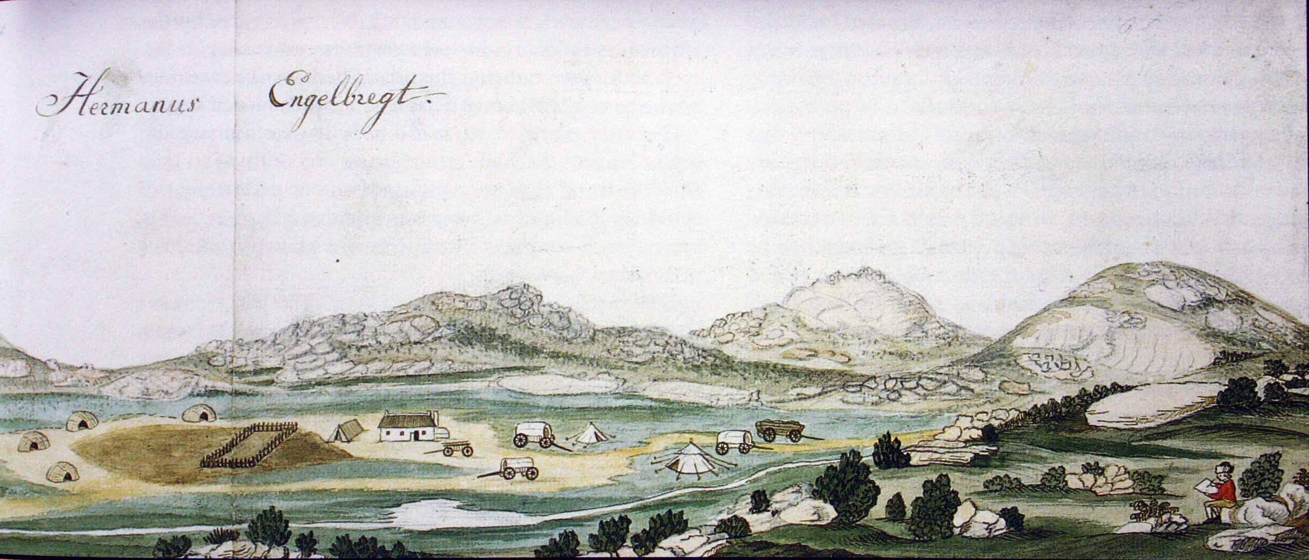
Long before colonial farmers arrived, the Kamiesberge were home to the Khoekhoe, nomadic pastoralists who moved with their livestock through the mountains' seasonal rhythms. The first European cattle farmers began settling around 1750 on the edges of what they called Little Namaqualand, distinguishing it from Great Namaqualand across the Orange River. In this arid region, the water-rich mountains drew the most attention, and from about 1760, farms were granted one after another. But the mountains held their own history. The Leliefontein mission, established in 1816 by Reverend Barnabas Shaw, became the first Methodist mission in South Africa -- and in 1902, it became the site of a massacre when Boer commandos attacked the Nama community there during the Second Boer War.
Where Desert Meets Fynbos
The Kamiesberge occupy a botanical borderland. The cold Benguela Current, flowing north along the Atlantic coast, moderates the climate and creates conditions unlike any other desert range on earth. The vegetation is largely Succulent Karoo, but the mountains are also an outlier of the Cape Floristic Region, making them a meeting point for two of southern Africa's most distinctive plant kingdoms. Quiver trees raise their strange, almost leafless silhouettes against the granite. Camelthorn trees anchor the sandy soils. Euphorbia shrubs crowd the slopes alongside species like Ceraria namaquensis and Tylecodon paniculatus. The region is recognized as one of 25 global plant biodiversity hotspots, and portions were declared protected in 1999.
Fog, Frost, and Fire
What makes the Kamiesberge unusual among desert ranges is that rainfall here is relatively predictable. Frost is rare, and rain typically arrives accompanied by heavy dew and fog that provide additional moisture to plants adapted to harvest it. But the mountains have another trick: bergwinds, hot dry winds that blow off the interior plateau during winter, can push temperatures to a scorching 40 degrees Celsius even in the coldest months. After adequate winter rainfall, spring transforms the range. Dormant species of Asteraceae and Brassicaceae burst into flower alongside Aizoaceae and dozens of other families, creating the wildflower displays that have made Namaqualand famous. The Goegap Nature Reserve near Springbok offers one of the best vantage points for witnessing the mountains in bloom.
From the Air
Located at 30.09S, 17.98E, the Kamiesberge are a prominent terrain feature stretching 140km from Garies to Springbok. Peaks exceed 1,700m -- maintain safe altitude and watch for mountain wave turbulence. The range is visible as a spine of granite outcrops rising from sandy lowland plains. Nearest airport is Springbok (SBU). Best viewed in August-September for spring wildflowers. Bergwinds can create sudden temperature changes and turbulence, particularly in winter months.