Kananaskis Country
Kananaskis Country occupies 4,000 square kilometers of Rocky Mountain terrain immediately southeast of Banff National Park - the same peaks, the same scenery, without the crowds. Alberta created this network of provincial parks in 1978 using oil royalties, intending to provide recreation opportunities while reducing pressure on the national parks. The strategy worked, but also backfired: Banff and Jasper remained famous while Kananaskis stayed relatively unknown. For those who discover it, Kananaskis offers what Banff can't: uncrowded trails, no reservation systems (usually), fewer restrictions, and mountain scenery that rivals anywhere in the Canadian Rockies. The 1988 Winter Olympics used Kananaskis for Nordic events; the legacy includes excellent cross-country skiing facilities. It's the Rockies for people who hate tourist crowds.
The Creation
Alberta Premier Peter Lougheed established Kananaskis Country in 1978, funded by oil and gas royalties during the energy boom. The concept was recreation on public land - not strict wilderness protection like national parks, but managed access for hiking, camping, skiing, hunting, fishing, and mountain biking. Provincial parks, ecological reserves, and wildland parks now cover much of the area. The creation acknowledged that Banff and Jasper couldn't handle unlimited growth; Kananaskis would absorb some demand. The bet paid off for both conservation and recreation.
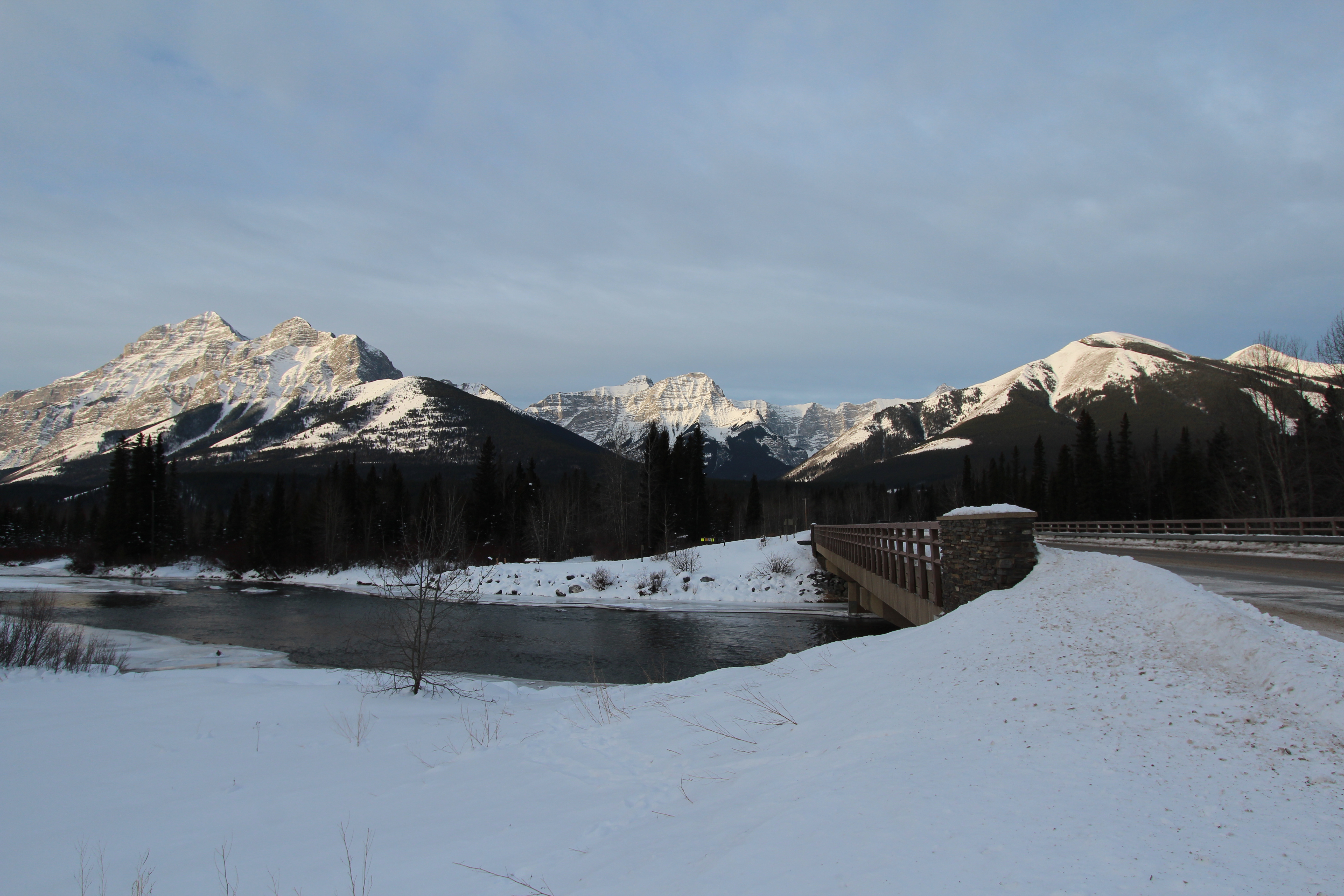
The Landscape
Kananaskis shares geology with Banff - the same thrust-faulted Rockies, the same limestone peaks, the same glacially carved valleys. The Kananaskis Range runs north-south along the spine of the area. Mount Kidd, Mount Lorette, and Mount Indefatigable are among the prominent peaks. The Kananaskis River drains the system through a series of lakes and reservoirs. The landscape transitions from front ranges (foothills and lower peaks) to high alpine terrain approaching the Continental Divide. Elevations range from 1,400 to 3,500 meters.
The Activities
Kananaskis offers year-round recreation. Summer brings hiking (hundreds of kilometers of trails), mountain biking, rock climbing, and fishing. The Kananaskis Nordic Centre, built for the 1988 Olympics, has world-class cross-country skiing and biathlon facilities. Downhill skiing operates at Nakiska and Fortress Mountain. Backcountry camping requires permits but isn't as regulated as national parks. Hunting is permitted in season - a key distinction from national parks. The varied terrain accommodates everything from family walks to technical mountaineering.
The Anonymity
Kananaskis remains remarkably unknown outside Alberta. Banff, 40 minutes away, draws 4 million visitors annually; Kananaskis sees a fraction of that. The anonymity is partly intentional - the area was designed to serve Albertans, not attract international tourism. There's no iconic landmark like Lake Louise; there's no single destination to visit. Kananaskis rewards exploration rather than bucket-list checking. For visitors willing to explore without a checklist, the reward is mountain scenery without the crowds that make Banff's popular trails feel like parades.
Visiting Kananaskis
Kananaskis Country is located 45 minutes west of Calgary, Alberta, along Highway 40 (closed in winter) and Highway 1. The Barrier Lake Visitor Centre provides orientation. Peter Lougheed Provincial Park, in the heart of Kananaskis, has the best facilities and scenery - Upper and Lower Kananaskis Lakes are highlights. The Nakiska ski area offers downhill skiing. The Nordic Centre is excellent for cross-country skiing. A Conservation Pass is required for vehicles (available online or at automated kiosks). Accommodation includes campgrounds, lodges, and wilderness huts. Calgary International Airport (YYC) is the nearest major airport. The area is vast; exploring thoroughly requires multiple trips.
From the Air
Located at 50.78°N, 115.11°W in the Canadian Rockies, 45 minutes west of Calgary. From altitude, Kananaskis Country appears as mountain terrain southeast of and continuous with Banff National Park - the same peaks, the same geology. The Kananaskis River and its lakes are visible in the main valley. Nakiska ski area's runs are visible on Mount Allan. The Trans-Canada Highway passes along the northern edge. Calgary sprawls on the prairie to the east. The absence of major town sites or resort development distinguishes it from nearby national parks.