Kandovan, Osku
People have been hollowing out homes inside volcanic rock cones for so long in Kandovan that no one can say with certainty when it started. What is certain is that they have not stopped. Unlike Cappadocia in Turkey, where the famous cone dwellings are preserved as tourist curiosities and museum pieces, Kandovan remains a working village. Families cook meals, raise children, and hang laundry from windows carved into stone towers that rise 30 to 40 meters above the valley floor. The 2016 census counted 450 people still living this way, in 151 households notched into the flanks of Mount Sahand.
Stone Born from Fire
The cones of Kandovan owe their existence to Mount Sahand, a dormant stratovolcano whose last confirmed eruptions date to the Pleistocene, roughly 800,000 to 1.2 million years ago. During those ancient eruptions, pyroclastic flows surged down the mountain's flanks and cooled into thick deposits of ignimbrite -- a compacted volcanic ash known locally as "ash-flow tuff." Around the village, this formation exceeds 100 meters in thickness. Over millennia, water erosion sculpted the ignimbrite into the distinctive cone-shaped pillars that define the landscape today. Natural water channels carved grooves between the cones, separating them into individual towers and creating what eventually became the village's narrow streets. The geology conspired to produce a building material that is soft enough to carve with hand tools but hard enough to stand for centuries.
Living Inside the Mountain
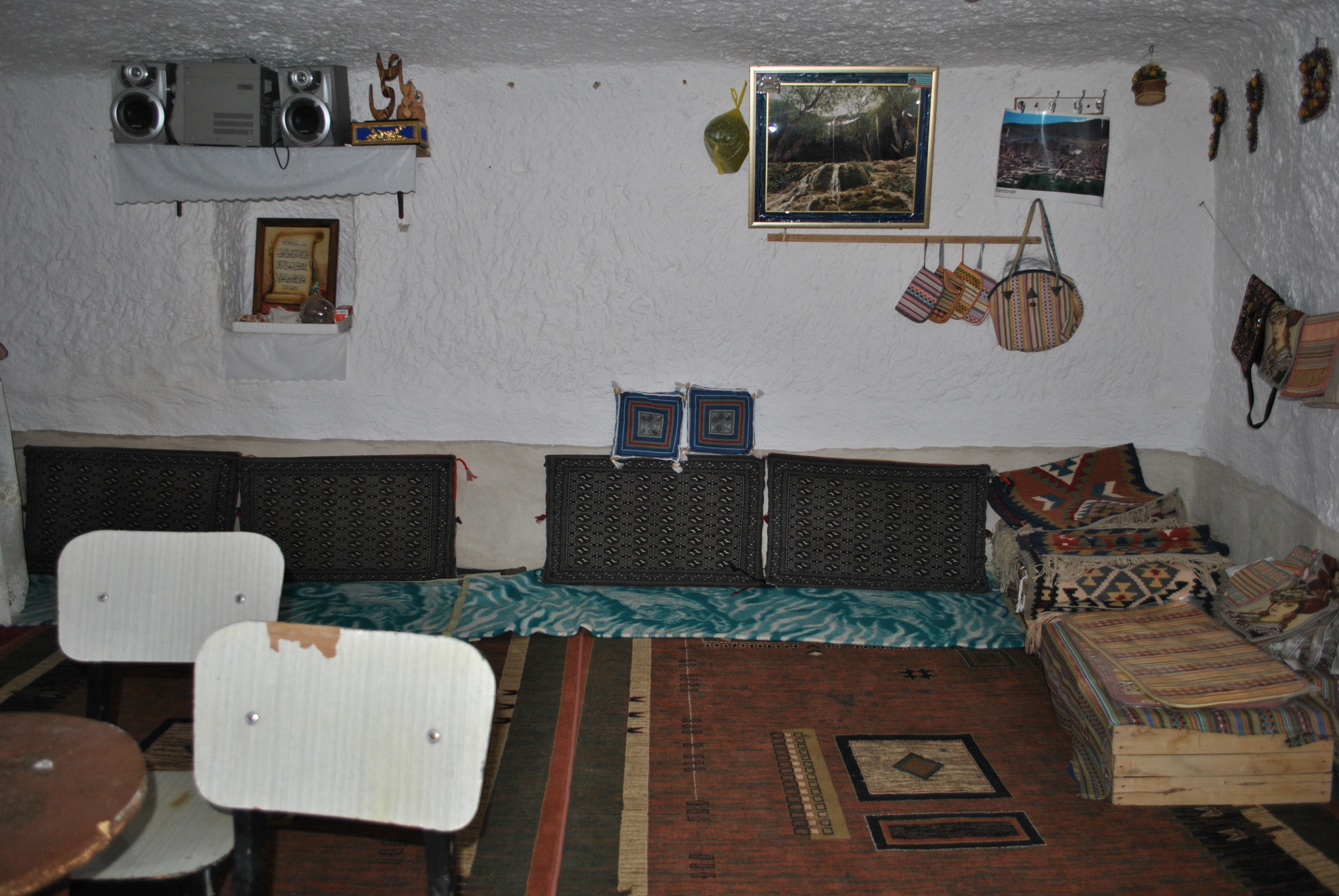
The homes -- called Karaan in the local language -- are excavated directly into the volcanic cones. Most entries face south to capture winter sunlight, while the dwellings extend east to west into the rock. The interiors stay cool in Sahand's hot summers and retain warmth through the bitter mountain winters, a natural insulation that no modern construction material can match cheaply. Some Karaans span multiple stories within a single cone, connected by internal staircases chiseled from the same stone. Where the streets between cones are narrow enough, stone bridges link neighboring Karaans to each other, creating an elevated network of passages above the village floor. A hotel has been carved into the rock for visitors, but the architecture differs little from the homes that have existed here for centuries.
Refuge and Resilience
Several origin stories compete to explain how Kandovan was first settled. One tradition holds that the original inhabitants were nomads who used the rock shelters as seasonal summer houses, carving temporary rooms to avoid the labor of hauling tents. Over time, the temporary became permanent. Another account traces the village's founding to refugees from the nearby settlement of Hilevar, about two kilometers away, who fled into the rock cones during the Mongol invasions and never left. A third legend claims that ancient warriors chose the site for its defensive advantages: the topography makes assault from above nearly impossible, and the narrow approaches between cones create natural chokepoints. All three stories share a common thread -- Kandovan was shaped by people seeking shelter in a hostile world, and the mountain provided it.
A Village Slowly Fading
The census numbers tell an uncomfortable story. In 2006, Kandovan had 601 residents in 168 households. By 2011, the population had dropped to 586 people. The 2016 count recorded just 450 residents. The village is shrinking as younger generations leave for jobs in Tabriz and other cities. Tourism has brought some economic relief -- visitors come to see the cone homes, browse small shops selling dried herbs and local honey, and stay in the rock-hewn hotel. But tourism is a double-edged tool. It brings money while threatening to turn a living community into a performance of itself. For now, Kandovan remains what it has been since its founding: a place where people live inside the earth's own architecture, drawing water from mountain springs and watching the seasons change through windows framed in volcanic stone.
From the Air
Coordinates: 37.795N, 46.249E, in the foothills of Mount Sahand (3,707 m), East Azerbaijan Province, Iran. From the air, the village appears as a cluster of cone-shaped rock formations on the mountainside, distinct from the surrounding terrain. Mount Sahand's snow-capped peak dominates the landscape to the southwest. The city of Tabriz lies approximately 50 km to the north. Nearest major airport: Tabriz International Airport (OITT), about 60 km north. Elevation at the village is approximately 2,200 meters. The terrain is rugged volcanic highland with dramatic rock formations.