Kangla Fort
The name itself carries a quiet pride. Kangla -- "the prominent part of the dry land" in old Meetei -- marks the spot where Meitei kings ruled from the banks of the Imphal River for almost nineteen centuries. Today the fort's surviving western ramparts sit in the middle of a modern Indian city, surrounded by traffic and commerce, yet the grounds inside feel like a different world entirely. Dense forest canopy filters the subtropical light. Birdsong replaces engine noise. For the people of Manipur, entering Kangla is not tourism. It is pilgrimage.
Throne of the Ningthouja
From 33 CE to 1891, the Ningthouja dynasty governed Manipur from within these walls -- a span of continuous royal administration that few fortified palaces anywhere can match. The fort once straddled both banks of the Imphal River, its eastern and western compounds connected across the water. What remains today is the western side, its earthwork ramparts and stone foundations offering a fragmentary but evocative picture of the capital it once was. The Kangla was not merely a military stronghold; it was the spiritual and political heart of the Meitei people, the place where governance, ritual, and identity converged. Successive kings expanded and adorned it, and the fort's layout reflected the cosmological order that Meitei rulers believed they were charged with maintaining.
A Kingdom Lost and Remembered
The Anglo-Manipur War of 1891 shattered that continuity. British forces seized the Kangla, and for more than a century it remained under military occupation -- first British, then Indian. The fort that had symbolized Meitei sovereignty became a garrison, its sacred spaces repurposed for barracks and armories. For generations of Manipuris, the Kangla's inaccessibility was a wound that would not close. When the Indian government finally handed the fort back to the state of Manipur in 2004, the handover was not a quiet administrative transfer. Thousands gathered. The moment carried the accumulated weight of over a hundred years of longing. The Kangla is now being proposed as a UNESCO World Heritage Site, with discussions ongoing in the Indian Parliament -- a bid to give international recognition to what the Meitei people have always known about this ground.
The Lungs of Imphal
Walk through the fort today and the most striking thing is the green. Kangla has earned the sobriquet "Lungs of Imphal" for its dense forest cover, an unexpected oasis of oxygen in the heart of a growing metropolis. In 2009, the Kangla Fort Board established a herbal garden in collaboration with the North East Institute of Science and Technology, planting 131 species including heigru, neem, and the fragrant leihao champaca. By 2019, the Green Manipur Mission had added 700 indigenous fruit-bearing saplings, and community planting drives have become annual traditions -- the Sangai Express newspaper marked its 20th anniversary by planting 120 trees within the fort grounds. Plans call for 10,000 fruit-bearing saplings eventually, transforming the ancient seat of power into a living botanical archive of Manipur's native flora.
Sacred Ground, Living Heritage
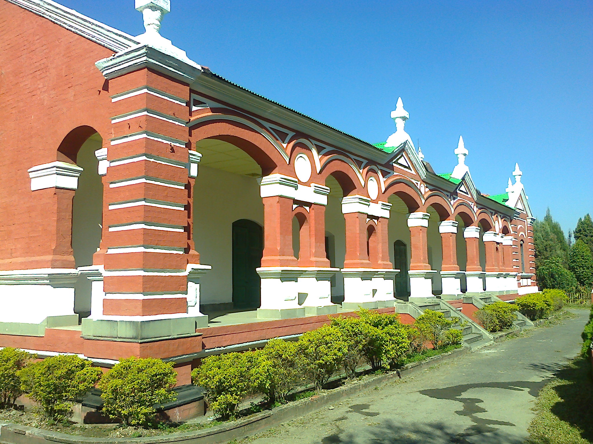
The Kangla is more than a historic monument or a green space. It remains a sacred site for the Meitei people, a place where the past is not abstract but palpable. The restored Kangla Sha -- mythical dragon-lion guardians that flanked the inner gate before British forces destroyed them in 1891 -- now stand watch again. Museums within the grounds trace the arc of Manipuri civilization from its earliest legends to its modern struggles. For a state that has known insurgency, ethnic tension, and the heavy hand of India's Armed Forces Special Powers Act, the Kangla's return to Manipuri custody carries meaning beyond heritage preservation. It is a statement that identity, however battered, endures.
From the Air
Located at 24.808N, 93.94E in central Imphal, Manipur, India. The fort compound is visible from lower altitudes as a large green area within the urban grid. Nearest airport is Imphal International Airport (VEIM), approximately 8 km southwest. Recommended viewing altitude: 3,000-5,000 feet AGL. The Imphal River, which once bisected the fort, is a useful navigation reference running through the city.