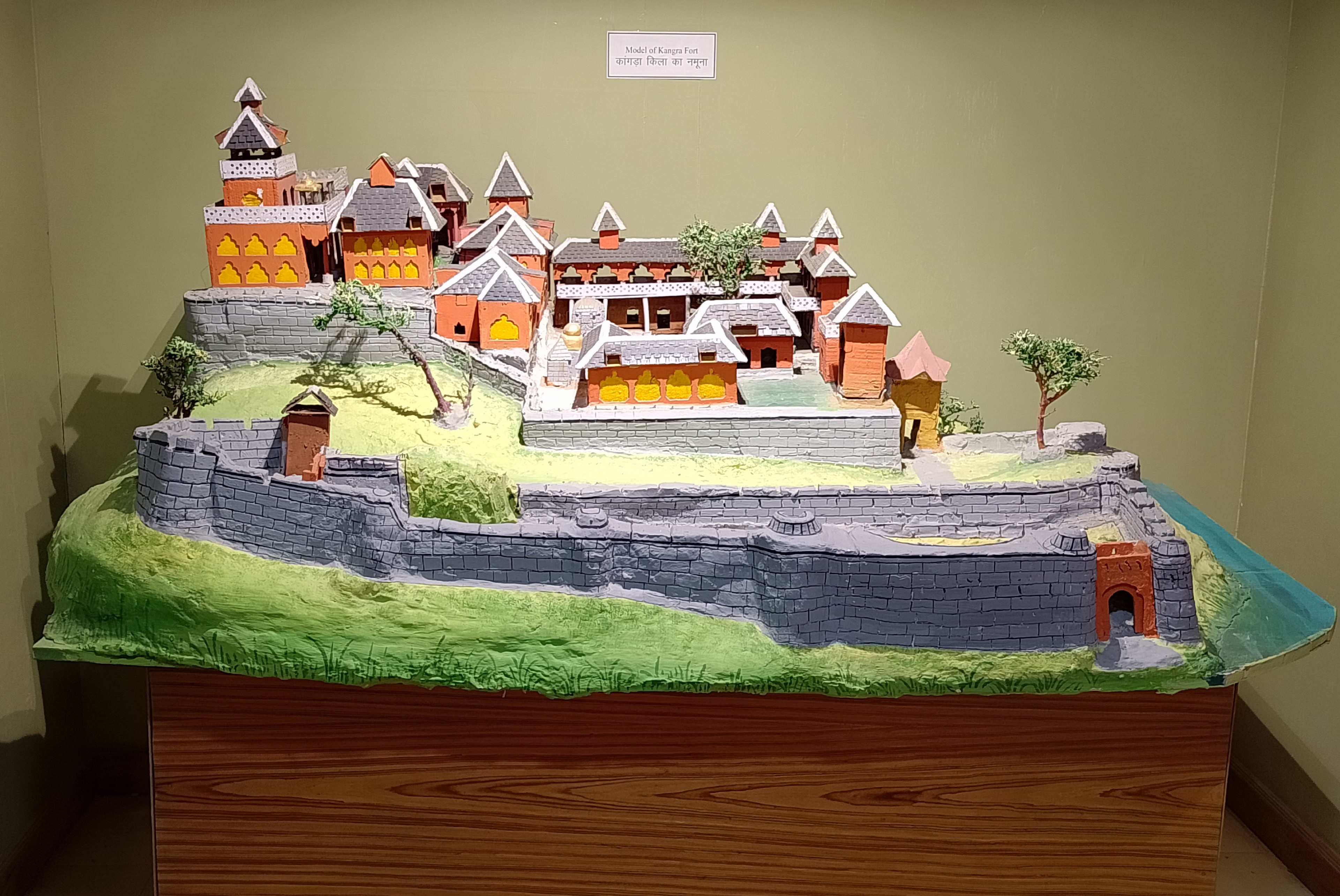
Kangra Fort
Every empire that ever controlled northern India wanted Kangra Fort. Perched on a hillock between the Manjhi and Banganga rivers in the foothills of the Dhauladhar range, the fort spans 463 acres -- the largest fortification in the Indian Himalayas. Its earliest recorded siege came in 1009 AD, when Mahmud of Ghazni stormed its walls. Its last came in 1846, when the British took it after six weeks of bombardment. In between, the Tughluqs, the Mughals, the Sikhs, and the Gurkhas all claimed it, lost it, or fought to hold it. No single dynasty could keep Kangra for long. The fort outlasted them all.
Built by Rajputs, Coveted by Everyone
The Katoch dynasty of Rajputs built Kangra Fort, and according to Indian mythology, the site carries a legendary history stretching back roughly 4,000 years. The earliest physical remains inside the walls -- Jain and Hindu temples -- date to the 9th and 10th centuries AD. But it was the fort's strategic position, guarding the western Himalayan passes just 20 kilometers from present-day Dharamsala, that made it irresistible to invaders. Mahmud of Ghazni breached it in 1009. Muhammad bin Tughluq captured it in 1337, and his successor Firuz Shah Tughluq took it again in 1351. In 1620, Nawab Ali Khan seized the fort with the aid of Raja Jagat Singh, beginning Mughal rule that would last over 160 years. Emperor Jahangir visited the following year. Each conqueror left a mark: the Mughals built the Ahani and Amiri Darwaza gates and the Jehangiri Darwaza, while the Sikhs later added the Ranjit Singh Gate at the entrance.
A Fort That Changed Hands Like Currency
The most turbulent chapter began as Mughal power collapsed. Raja Sansar Chand II, a descendant of the Katoch line, launched a campaign to reclaim Kangra with the help of Sikh leader Jai Singh Kanhaiya. When the last Mughal governor's son surrendered the fort to Jai Singh Kanhaiya in 1783 in exchange for safe passage, Sansar Chand felt betrayed -- the fort was supposed to return to him. He recruited other Sikh chieftains, including Maha Singh of the Sukerchakia Misl (father of the future Maharaja Ranjit Singh) and Jassa Singh Ramgarhia, and besieged the fort. By 1786, a treaty restored Kangra to Sansar Chand in exchange for territorial concessions in Punjab. Emboldened, he conquered Chamba, Mandi, Suket, and Nahan. But when he pushed into Bilaspur in 1805, its raja summoned 40,000 Gurkha soldiers under Kaji Amar Singh Thapa. The Gurkhas besieged Kangra Fort from 1807, swallowing most of the surrounding territory. Sansar Chand turned to Maharaja Ranjit Singh for rescue, and the Nepal-Sikh War of 1809 drove the Gurkhas back. The price of salvation was the fort itself: Ranjit Singh took possession on August 24, 1809.
Jain Stones in a Rajput Fortress
Kangra was once a thriving center of Jainism, a history that surprises visitors expecting only Hindu and Mughal architecture. Within the fort lies an idol of Rishabhanatha, the first Jain Tirthankara, with an inscription in Sharada script recording its consecration in 854 CE by a Shvetambara monk named Amalacandra. Archaeologist Sir John Marshall confirmed the idol's Shvetambara origins based on the locks of hair carved on either side of the head. Local legend explains the idol's presence through King Susharma Chandra, who vowed to fast until he could pay homage to Rishabhanatha at the distant Palitana temples; according to the story, the demigoddess Ambika created a replica temple at the fort to spare the king starvation. Over centuries, as Jain communities migrated away, their temples were absorbed into Hindu worship under different deities' names. In 1930, Dr. K. N. Sitaram documented numerous Jain remains scattered through the Kangra Valley. The Rishabhanatha idol was reinstalled in its own shrine in 1978 and is now under the care of the Archaeological Survey of India, though Jains retain the right to worship there.
Shaken to Its Foundations
The British took Kangra Fort during the First Anglo-Sikh War in 1846, after a siege lasting from mid-April to May 28. Sir Henry Lawrence arrived at the fort on May 3. It was the only battle between the Sikh garrison of Kangra and British forces, and the British occupied the fort as a garrison afterward. Their tenure ended not through war but through geology: on April 4, 1905, a devastating earthquake struck the Kangra Valley, heavily damaging the fort and killing thousands across the region. The British abandoned the garrison. Today the Archaeological Survey of India protects the ruins, and visitors walk through the layered gates -- Mughal, Sikh, and Rajput -- that record each era of occupation. The fort stands not as a monument to any single empire but as evidence that strategic geography outlasts every flag planted upon it.
From the Air
Kangra Fort is located at 32.09N, 76.26E in the Kangra Valley of Himachal Pradesh, on a hillock between the Manjhi and Banganga rivers. The 463-acre fort complex is visible from moderate altitude. Recommended viewing at 6,000-8,000 ft AGL. The snow-capped Dhauladhar range rises dramatically to the north. Nearest airport is Kangra/Gaggal (VIGG), approximately 13 km away, and Dharamsala is 20 km to the northeast. Mountain weather is variable; clear winter days offer the best visibility of the fort against the Himalayan backdrop.