Kansas City, Missouri
The first European to see this place was a deserter. Etienne de Veniard, Sieur de Bourgmont, had abandoned his post as commander of Fort Detroit after a Native American attack and was hiding among the tribes along the Missouri River when he documented the junction of the "Grande Riviere des Cansez" and the Missouri in 1713. That confluence of rivers would become the confluence of everything else: fur traders and missionaries, wagon trails and railroads, jazz musicians and barbecue pit masters. Kansas City, Missouri, population 508,090, is the closest major city to the geographic center of the contiguous United States, and it has spent three centuries pulling the country's threads together at this crossroads.
Where the Trails Began
Three of America's most storied pathways, the Santa Fe, California, and Oregon Trails, all passed through Jackson County. John Calvin McCoy, known as the Father of Kansas City, established Westport along the Santa Fe Trail in 1833, then built Westport Landing on a bend in the Missouri River to serve it. The landing area was incorporated as the town of Kansas in 1850, reincorporated as the City of Kansas in 1853 with a population of 2,500. Lewis and Clark had noted the spot as ideal for a fort back in 1804. The Chouteau family had been trading furs here since 1821. By mid-century, the confluence had become one of the critical jumping-off points for westward expansion, a role that would define the city's character as a place where journeys begin.
The Bridge That Changed Everything
After the Civil War, Kansas City's future hinged on a single decision: where to build the first railroad bridge over the Missouri River. The city won that prize over rival Leavenworth, Kansas, and in 1869 the Hannibal Bridge, designed by Octave Chanute, opened. The population exploded. The name changed to Kansas City in 1889. Westport was absorbed in 1897. By 1900, Kansas City was the 22nd largest city in the country with 163,752 residents. Landscape architect George Kessler shaped the growing city into a leading example of the City Beautiful movement, laying out the network of boulevards and parks that still define Kansas City's character. The Country Club Plaza, opened by developer J. C. Nichols in 1925 as the first suburban shopping district designed for automobiles, became a model for the nation.
Boss Tom and the Truman Connection
The early twentieth century brought Tom Pendergast, whose political machine dominated Kansas City by 1925. Pendergast's era was contradictory: he built Kansas City City Hall and the Jackson County Courthouse, infrastructure that shaped the skyline, while running a corrupt operation that tolerated the wide-open nightlife that made Kansas City a jazz capital. Pendergast also mentored a young Jackson County judge named Harry S. Truman, helping launch a political career that would carry Truman from county courtroom to the United States Senate to the presidency. The machine collapsed in 1939 when Pendergast pleaded guilty to tax evasion. But the cultural energy it had unleashed, the jazz clubs on 18th and Vine, the barbecue joints, the freewheeling spirit, became permanent features of Kansas City identity.
City of Fountains, City of Revival
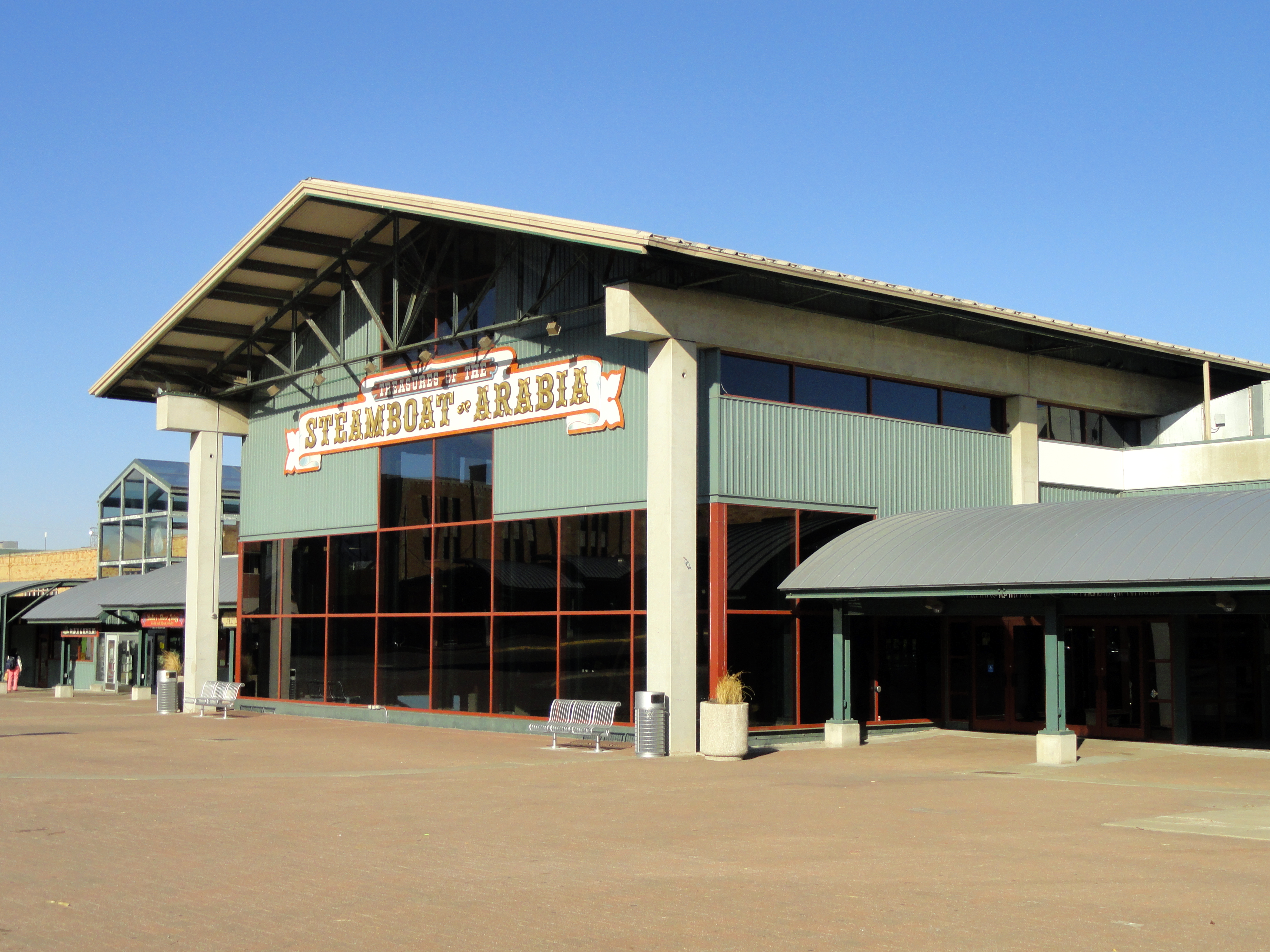
Kansas City hosts more than 200 working fountains, from the synchronized water jets of the Black Marble H&R Block fountain in front of Union Station to the Nichols Bronze Horses at the entrance to the Country Club Plaza. The city's architectural ambitions match its love of water. Frank Lloyd Wright designed Community Christian Church and two private residences here. The Nelson-Atkins Museum of Art expanded with a Euro-Style Bloch addition in 2007, and Moshe Safdie's Kauffman Center for the Performing Arts opened in 2011. The Liberty Memorial, designated by Congress in 2004 as the National World War I Museum and Memorial, sends simulated flames into the night sky. Since 2000, more than $6 billion in downtown redevelopment has transformed the central city. The downtown residential population quadrupled between 2007 and 2017, and a new streetcar line connects the River Market to Union Station, echoing the hundreds of miles of streetcar tracks that once threaded the city before the last car ran on June 23, 1957.
Two Rivers, Two States, One City
Kansas City sprawls across four Missouri counties, Jackson, Clay, Platte, and Cass, and its metropolitan area of 2.25 million residents straddles the state line into Kansas. The geography is shaped by glaciers: the city sits in a bowl surrounded by limestone and bedrock cliffs carved during the Pleistocene. The Missouri and Kansas rivers cut wide valleys through the terrain, and bluffs overlook the river bottoms where the earliest settlements took root. More than 240 neighborhoods carry the memory of independent towns, frontier camps, and suburban experiments. The city's newest landmark, a single-terminal Kansas City International Airport that opened on February 28, 2023, replaced the distinctive triple-cloverleaf design that had served since 1972, carrying Kansas City's tradition of reinvention into its fourth century.
From the Air
Kansas City sits at the confluence of the Missouri and Kansas Rivers at 39.10N, 94.58W. The downtown skyline is anchored by One Kansas City Place (Missouri's tallest office tower), the Liberty Memorial tower, and Union Station. The Country Club Plaza is visible to the south. The Missouri River bends around the city to the north. Kansas City International Airport (KMCI) lies approximately 15 miles northwest. Charles B. Wheeler Downtown Airport (KMKC) is on the river. Recommended viewing altitude: 5,000-8,000 feet AGL for the full metropolitan panorama showing both rivers and the state line.