Kapuas River
Six thousand years ago, the Kapuas was not an island river at all. It was a tributary of the Sunda River, a vast drainage system that connected Borneo to Sumatra, Java, and the Malay Peninsula across a landmass now drowned beneath the South China Sea. When rising seas severed those connections, the Kapuas kept flowing -- and the species it carried were stranded in a world that grew smaller around them. Today, as the longest river in Indonesia and the longest on the island of Borneo, the Kapuas threads through the heart of West Kalimantan like a living fossil record, carrying echoes of a continent that no longer exists.
A River That Breathes
The Kapuas does something remarkable twice a year. When the monsoon rains peak in April and November, dumping up to 5,500 millimeters of precipitation annually, the river overflows its banks and pours into a constellation of fourteen interconnected lakes near its upper reaches. Lake Luar alone spans over 5,200 hectares; together, the Kapuas Lakes and the river merge into a single enormous body of water. This seasonal flooding is not a catastrophe but a mechanism. The lakes absorb the surge, preventing devastating floods downstream near Pontianak, the provincial capital that sits almost exactly on the equator. Fish migrate from the river into the lakes to spawn. Birds flee the rising water. Then the rains ease, the lakes contract, and the cycle resets. The river's five-armed delta fans out west-southwest of Pontianak, its northernmost channel wide enough to earn the name Big Kapuas.
The Sundaland Inheritance
The extraordinary biodiversity of the Kapuas is not accidental. Its ancient connection to rivers across Southeast Asia left behind a genetic treasury that scientists are still cataloging. The river basin harbors fish from 120 genera and 40 families, with cyprinids and catfish dominating the count. More than thirty percent of these species originated in the sea and still inhabit the delta areas. Among them are species prized both at the dinner table and in aquarium shops worldwide: Pangasius catfish, giant gourami, and the super red arowana, a fish so coveted by collectors that individual specimens can sell for tens of thousands of dollars. Feeding habits reveal the river's complexity. Fifty-four percent of its fish are omnivores; some eat fruit that drops from overhanging trees, while tiny halfbeaks like Hemirhamphodon pogonognathus feed exclusively on insects that fall from the canopy above. The number of individuals per species remains relatively low, a hallmark of mature tropical ecosystems where diversity, not abundance, defines the food web.
Canopy Over Current
In the upper and middle reaches, the Kapuas pushes through dense tropical forest that has drawn international researchers for decades. Otters patrol the banks. Crocodiles drift in the slower stretches. Overhead, agile gibbons and Muller's Bornean gibbons swing through branches alongside Prevost's squirrels and treeshrews. Frogs, curiously, are nearly absent. Two national parks anchor the river's conservation efforts. Betung Kerihun, at 8,000 square kilometers, protects a vast swath of transboundary rainforest along the Malaysian border. Danau Sentarum, smaller at 1,320 square kilometers, encompasses the Kapuas Lakes themselves -- a seasonally flooded wetland landscape unlike almost anything else in Southeast Asia. The giant freshwater prawn, Macrobrachium rosenbergii, thrives here alongside crabs, water striders, and countless aquatic insects, all woven into food chains of startling intricacy.
Equator's Pulse
Pontianak sits on the equator, and the Kapuas delta sits just west of it. There are no true seasons here -- only wet and wetter. The average annual rainfall across the catchment exceeds 3,600 millimeters, and the number of rainy days in a given year can range from 120 to over 300. The river's discharge varies accordingly, peaking during the monsoon months when water levels can rise dramatically overnight, flooding banks and reshaping the landscape. The climate classification is Af -- tropical rainforest, the warmest and most humid category on the Koppen scale. For most of the river's fish, this perpetual warmth means perpetual breeding. Only a handful of species, like the fire eel, maintain defined reproductive seasons. The rest spawn year-round, sustained by the constant abundance of food that an equatorial river provides.
Bridges Across the Basin
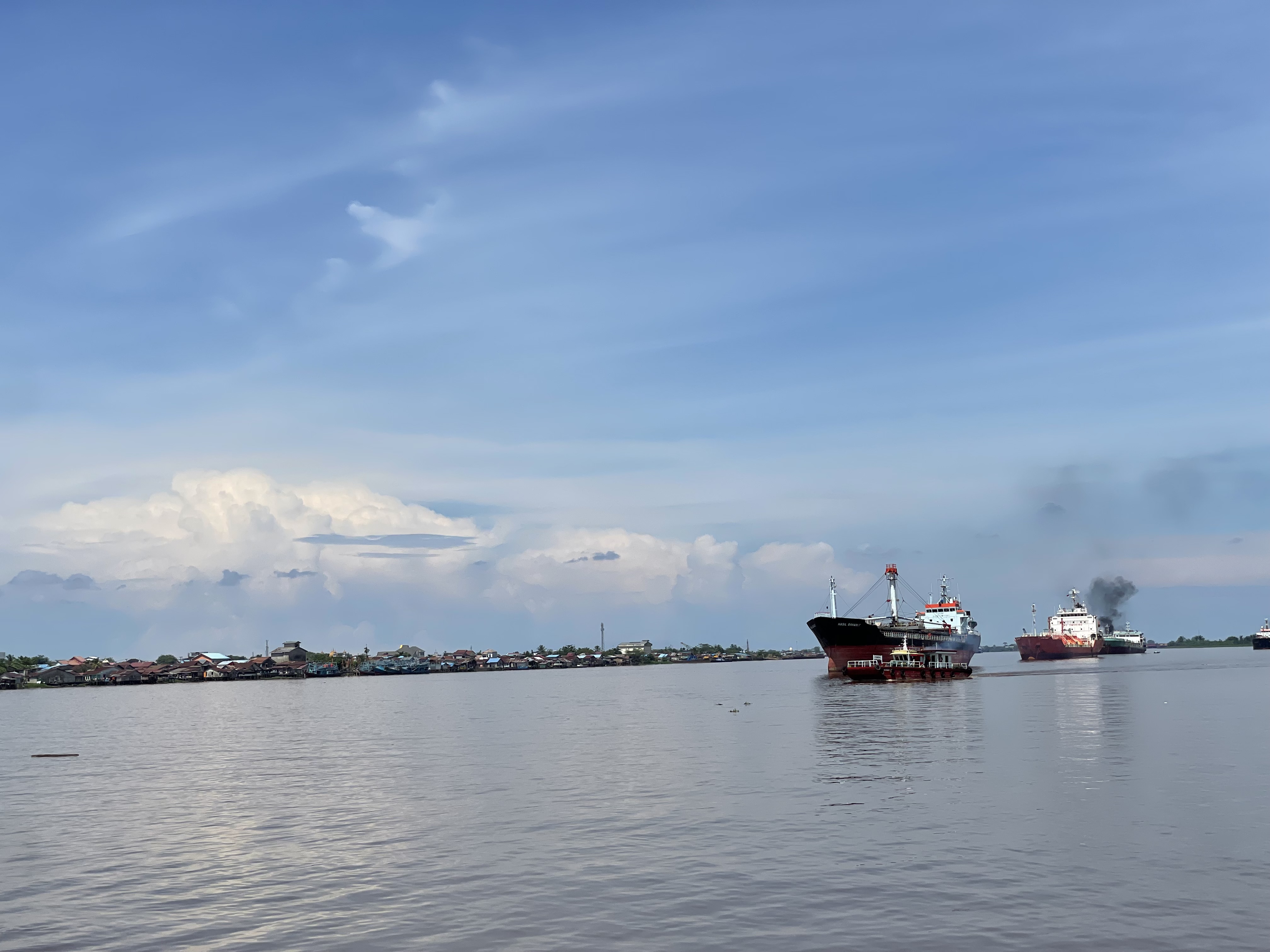
The Kapuas is not merely a wilderness artery. It is the infrastructure backbone of West Kalimantan, draining more than sixty-seven percent of the province. The Tayan Bridge, which opened in 2016, is the longest bridge in all of Kalimantan, spanning the river's considerable width. The older Kapuas I Bridge near Pontianak carries heavy commuter and goods traffic -- so heavy that in 2022, the government approved construction of a parallel bridge to handle the growing load. The Melawi River, the Kapuas's largest tributary, joins from the left near the town of Sintang, about 465 kilometers from the mouth. Other tributaries -- the Landak, Sekayam, Ketungau, Tawang, Bunut, and Embaloh -- feed into the system like veins into an artery, each draining its own piece of Borneo's interior. Together, they make the Kapuas not just a river but a network, one that has shaped settlement, trade, and ecology across western Borneo for millennia.
From the Air
The Kapuas River is centered near 0.27S, 109.88E, running roughly east-west across West Kalimantan province in Indonesian Borneo. The river's delta is visible west-southwest of Pontianak (WIOO/PNK, Supadio International Airport). At cruise altitude, the river appears as a prominent brown-green ribbon winding through dense tropical forest canopy. The Kapuas Lakes system is visible in the upper reaches as seasonal bright patches during flood periods. Nearby airports include Supadio International (WIOO) at Pontianak and Susilo (WIOS) near Sintang upriver.