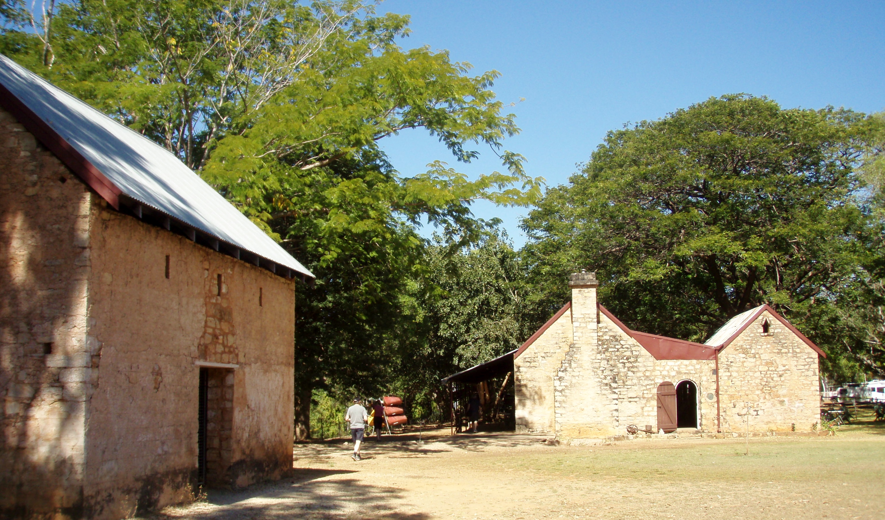
Katherine
The river made Katherine. It descends from sandstone country to the northeast, cuts through ancient rock formations in a series of tight gorges — thirteen of them, connected by rapids over a 12-kilometre stretch — and then spreads out through a landscape of thermal springs, flood plains, and fishing rivers that defines the region's character as much as the single main street defines the town. Katherine sits 300 kilometres south of Darwin, just off the Stuart Highway, small enough that shops close on weekends, large enough to serve as the main regional centre for an enormous slice of the Northern Territory's Lower Top End.
The Gorge
Nitmiluk National Park lies 30 kilometres from town, but Katherine Gorge is the reason most visitors come at all. The Jawoyn people, the traditional owners of Nitmiluk, have lived in and around this country for thousands of years; the park is jointly managed by the Jawoyn Association and the Northern Territory Parks and Wildlife Service. The thirteen gorges — separated by stretches of boulder-choked rapids — can be explored by canoe, on foot, or from the air on a helicopter flight that reveals the full geometry of sandstone walls dropping into green water. The Jatbula Trail, a 62-kilometre, five-to-six-day walk from the gorge to Leliyn (Edith Falls), is one of the great bushwalks in the Territory: plunging waterfalls, Aboriginal rock art, and a changing landscape that shifts from savanna to gorge country to monsoon rainforest pockets. Over 100 kilometres of walking trails run through the park in total.
Water Everywhere
Katherine's defining characteristic is abundance of water in a landscape that most people assume is uniformly dry. The Katherine River supports canoe trips lasting multiple days. Douglas Hot Springs, 130 kilometres north of town, offer a natural pool at a constant 31°C where the hot and cold streams meet in exactly the right proportion. Mataranka's thermal pool — a sandy-bottomed lagoon fringed by palms, about an hour's drive southeast — has been drawing travellers off the Stuart Highway for generations. The Daly, Roper, Victoria, and McArthur Rivers are prime barramundi habitat, and fishing is taken seriously enough that some visitors plan their entire trip around it. The region's waterways are also the reason for its main hazard: both saltwater and freshwater crocodiles inhabit these rivers, and local advice about safe swimming spots should be taken seriously.
Getting Here, Getting Around
Katherine is three hours' drive south of Darwin on the sealed Stuart Highway, and The Ghan — Australia's legendary transcontinental train — stops here during its twice-weekly run between Adelaide and Darwin. The train pauses for a few hours, offering a selection of off-train excursions, though passengers may not begin or end their journey in Katherine. Air North serves Katherine Airport — which shares its runways with RAAF Base Tindal — from Darwin, Alice Springs, and Tennant Creek. Getting around the region requires a vehicle; the distances between attractions, and the flood-prone roads in the wet season, make public transport impractical for anything beyond the town itself.
Living in the Top End
Katherine operates on Top End rhythms: a wet season from November to March when the landscape transforms and some roads become impassable, and a long dry season when the sun is brilliant, the nights cool off slightly, and the population expands with tourists and grey nomads pulling caravans up the Stuart Highway. The town is practical rather than picturesque — a main street of supermarket, servo, and pub, a relatively high crime rate that local tourism information is honest about. But the surrounding region is what draws people, and Katherine serves it well: as a supply point, a base camp, and a place that knows the country around it is extraordinary.
From the Air
Katherine (Katherine/Tindal Airport, YPTN — shared with RAAF Base Tindal) sits at -14.5211°S, 132.3778°E, approximately 8nm east-southeast of the town. The Katherine River is clearly visible from altitude, threading through the town. Nitmiluk Gorge is visible 30km northeast. Darwin (YPDN) is approximately 200nm north-northwest; Alice Springs (YBAS) roughly 600nm south. This is active military airspace — RAAF Base Tindal hosts F-35s — coordinate with ATC before any VFR approach. Terrain is flat savanna; Katherine Gorge's distinctive sandstone escarpments are excellent visual reference points.