Katutura
The name was chosen as an act of defiance. When the apartheid administration of South West Africa forcibly relocated Windhoek's Black residents to a barren tract of land 8 kilometers north of the city center in the late 1950s and early 1960s, the displaced communities named their new home Katutura -- Otjiherero for "the place where people do not want to live." More than sixty years later, the name endures, though the township has grown into a sprawling urban area that is home to a significant portion of Windhoek's population, complete with its own stadium, hospital, radio station, and political constituencies.
What They Lost in the Move
The residents of Windhoek's Old Location had owned their land. Their plots were large enough for gardens. They walked to their jobs in the city center. Katutura stripped all of that away. The new plots were smaller, owned by the municipality rather than the residents, and far enough from town to require a bus commute -- a commute the displaced residents now had to pay for, along with rent they had never owed before. The forced removal was not a relocation; it was an economic demotion, designed under South Africa's apartheid system to segregate Windhoek's population while extracting revenue from those with the least power to resist. The Old Location was subsequently demolished and redeveloped into Hochland Park, a middle-class suburb. The people who had built the old neighborhood were not invited back.
Ten December 1959
Resistance came quickly. Residents of the Old Location organized a boycott of municipal services, refusing to cooperate with the forced removal. On 10 December 1959, police opened fire on the protesters. Eleven people were killed and forty-four wounded. The event is known as the Old Location uprising, and it became a turning point in Namibia's independence movement. December 10 -- already recognized internationally as Human Rights Day -- was declared a Namibian national holiday in direct commemoration of the massacre. The shooting did not stop the removal; by 1962, approximately 7,000 people had been moved to Katutura, joining 2,000 Ovambo residents already there. But it transformed the township from a site of displacement into a symbol of resistance, and it galvanized the political organizing that would eventually lead to independence in 1990.
A Township of Many Nations
Katutura was never a monolith. A 1962 census recorded the diversity the apartheid system had tried to sort into tidy categories: nearly 3,000 Ovambo people, 2,366 Damara, 1,257 Coloured residents, 614 Nama, 468 Herero, 71 Ovambanderu, and over a thousand others. Each community brought its own language, customs, and relationship to the colonial regime. The Herero, whose ancestors survived the German genocide of 1904-1908, carried a different historical weight than the Ovambo, who formed the backbone of the SWAPO liberation movement. That ethnic complexity has not faded. Katutura today is divided into six political constituencies, each named for a liberation hero -- including John Pandeni, a Robben Island prisoner who became a government minister, and Moses Garoeb, a SWAPO veteran reburied at Heroes' Acre.
A Name That Will Not Change
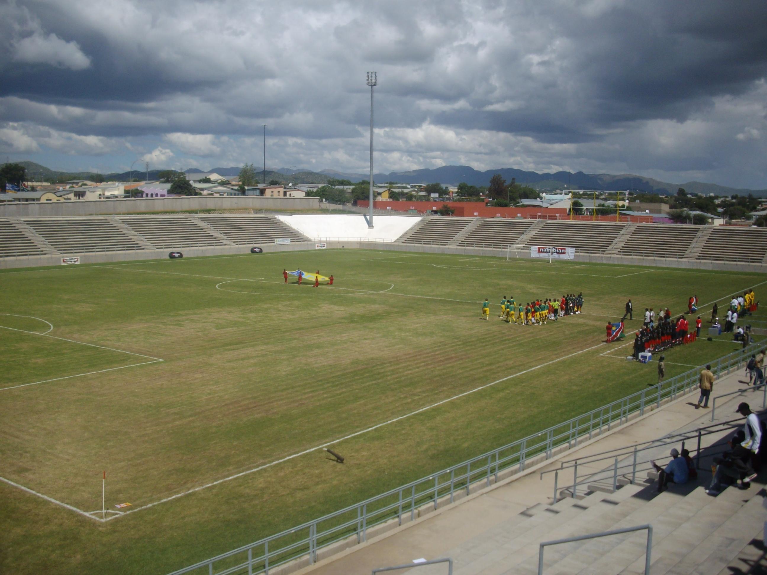
In 2019, activist Hendrich Amutenya launched a campaign to rename Katutura, arguing that its meaning carries a bad connotation for a free and independent Namibia. He proposed "Ubuntura" -- a portmanteau of ubuntu, the southern African philosophy of shared humanity, and Katutura. The campaign generated debate but no official action. For many residents, the name is not a scar to be hidden but a record to be honored. It testifies to what was done and what was survived. Sam Nujoma Stadium, built in 2005 and named for the founding president, stands within the township. Katutura State Hospital serves the community. Katutura Community Radio broadcasts in languages the colonial administration once tried to segregate. The place where people did not want to live has become, for hundreds of thousands of Namibians, simply home.
From the Air
Katutura is located at approximately 22.52S, 17.06E, immediately northwest of central Windhoek. From the air, the township is distinguishable by its dense, irregular roofing patterns that contrast with the more formal grid of central Windhoek to the southeast. Sam Nujoma Stadium is a visible landmark within the township. Nearest airports: Eros Airport (ICAO: FYWE) for domestic flights, approximately 5 km southeast, and Hosea Kutako International (ICAO: FYWH) about 45 km east. The terrain is flat to gently rolling, at approximately 1,650 meters elevation.