Kawagoekan: The Fortress That Married Into History
Minamoto no Yoritomo, the man who would become Japan's first shogun, had a problem. His younger brother Yoshitsune needed a suitable bride -- one that would cement political alliances in the strategically vital Musashi Province. Yoritomo chose the daughter of Kawagoe Shigeyori, whose clan controlled much of the province from a square compound on the banks of the Iruma River. The match was political, but the place it connected to was already ancient. The Kawagoekan -- more fortified residence than castle -- had been the power center of the Kawagoe clan since the late Heian period, when they emerged as one of the Eight Great Heike Clans of the Kanto region. The compound measured 218 meters on each side, a precise square of earthworks and moats on the river's west bank, and from within those walls, the Kawagoe shaped the politics of eastern Japan for two hundred years.
Trading Land for Imperial Favor
The Kawagoe clan were a cadet branch of the Chichibu clan, warrior aristocrats who had developed a shoen -- a private agricultural estate -- in the river-fed lowlands northwest of modern Kawagoe city. Their strategy for advancement was shrewd: they 'gifted' the shoen to Emperor Go-Shirakawa, the powerful retired emperor who ruled from behind the scenes during the late twelfth century. In exchange, the Kawagoe received court rankings and tax exemptions -- a transaction that converted land into status. The arrangement worked. By the time the Kamakura Shogunate was established in 1185, the Kawagoe clan had positioned themselves as influential retainers, well connected enough that the shogun himself selected a Kawagoe daughter for his brother's marriage. The fortified residence on the Iruma River was no mere country manor; it was the administrative heart of a clan that understood power required proximity to those who held it.
Two Centuries of Control, Then Annihilation
From their compound on the river, the Kawagoe controlled much of Musashi Province through the Kamakura period and into the turbulent Nanboku-cho era, when rival imperial courts split Japan's loyalties. But the clan's long run ended violently in 1368. After an uprising -- the details lost to the chaos of the period -- the Uesugi clan annihilated the Kawagoe. The compound that had served as the center of a provincial power for over two centuries changed hands in a single act of destruction. The earthworks and moats remained, but the family that built them was gone. In the shifting politics of medieval Japan, two hundred years of careful alliance-building could be erased in a season.
A Headquarters Between Rivals
The Kawagoekan found new purpose a century later when Uesugi Akisada occupied the site for seven years as his field headquarters. His target was the rival Ogigayatsu branch of his own Uesugi clan, who were entrenched in Kawagoe Castle just a few kilometers to the east. The irony was sharp: the Uesugi who had destroyed the Kawagoe clan now used their former home as a staging ground for an intra-family war. When the Later Hojo clan swept through the region, the Kawagoekan served briefly as a minor fortification before being abandoned entirely in 1590, after Toyotomi Hideyoshi crushed the Hojo at the Siege of Odawara. A thousand years of human occupation ended. The moats filled with silt. The earthworks settled. The compound slipped into the landscape.
What the Archaeologists Found
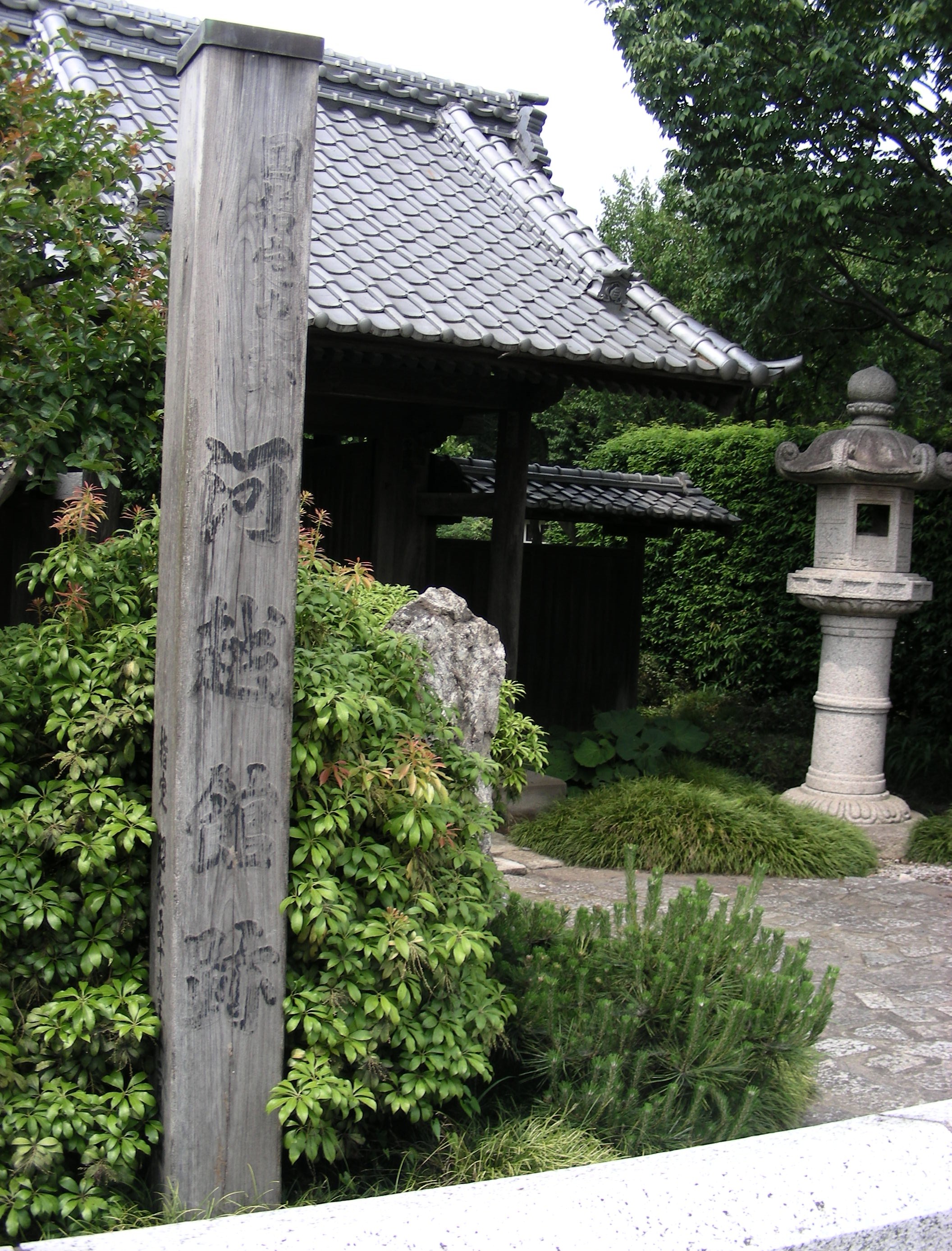
The earth remembered what the histories forgot. Between 1971 and 1975, archaeologists from the Kawagoe City Board of Education excavated the site and discovered traces spanning from the late Heian period through the Sengoku period -- building foundations, the location of a well, and artifacts layered through centuries of continuous occupation. Earthworks one to three meters high still mark the inner defenses, and a section of the outer moat survives northeast of the site, roughly eleven meters wide and three meters deep, once connected to the Iruma River. The southeastern portion of the compound now lies within the precincts of Joraku-ji, a Buddhist temple that settled on the ruins. In 1984, the site was designated a National Historic Site. Today it is open to the public as the Kawagoekan Ruins Historical Park, a fifteen-minute walk from Kasumigaseki Station on the Tobu Tojo Line -- a quiet green space where earthen ridges and shallow depressions are all that mark the footprint of a clan that once traded daughters to shoguns.
From the Air
Located at 35.931°N, 139.451°E on the west bank of the Iruma River, in the northwestern part of Kawagoe city, Saitama Prefecture. The site sits roughly 4 kilometers west of Kawagoe Castle and the main historic district. From 3,000-5,000 feet AGL, the park appears as a rectangular green space along the Iruma River's west bank, distinct from the surrounding residential development. The Iruma River itself provides the primary visual navigation reference, winding southward through the Kawagoe plain. Iruma Air Base (RJTJ) lies approximately 10 kilometers to the northwest. Honda Airport, a private airfield near Okegawa, is about 12 kilometers northeast. Tokyo Haneda Airport (RJTT) is roughly 50 kilometers south-southeast.