Kerio Valley
The Marakwet people of western Kenya maintain an elaborate network of irrigation furrows that thread along the slopes of the Kerio Valley. Ask them who built these channels, and they will tell you plainly: a people called the Sirikwa, who spoke a peculiar language and were decimated by pestilence long ago. "They built the furrows," the Marakwet say, "but they did not teach us how to build them; we only know how to keep them as they are." It is one of the most haunting lines in East African oral history, a confession of inherited engineering without inherited knowledge, and it frames the Kerio Valley as a place where the deep past and the living present share the same water.
Between Two Walls
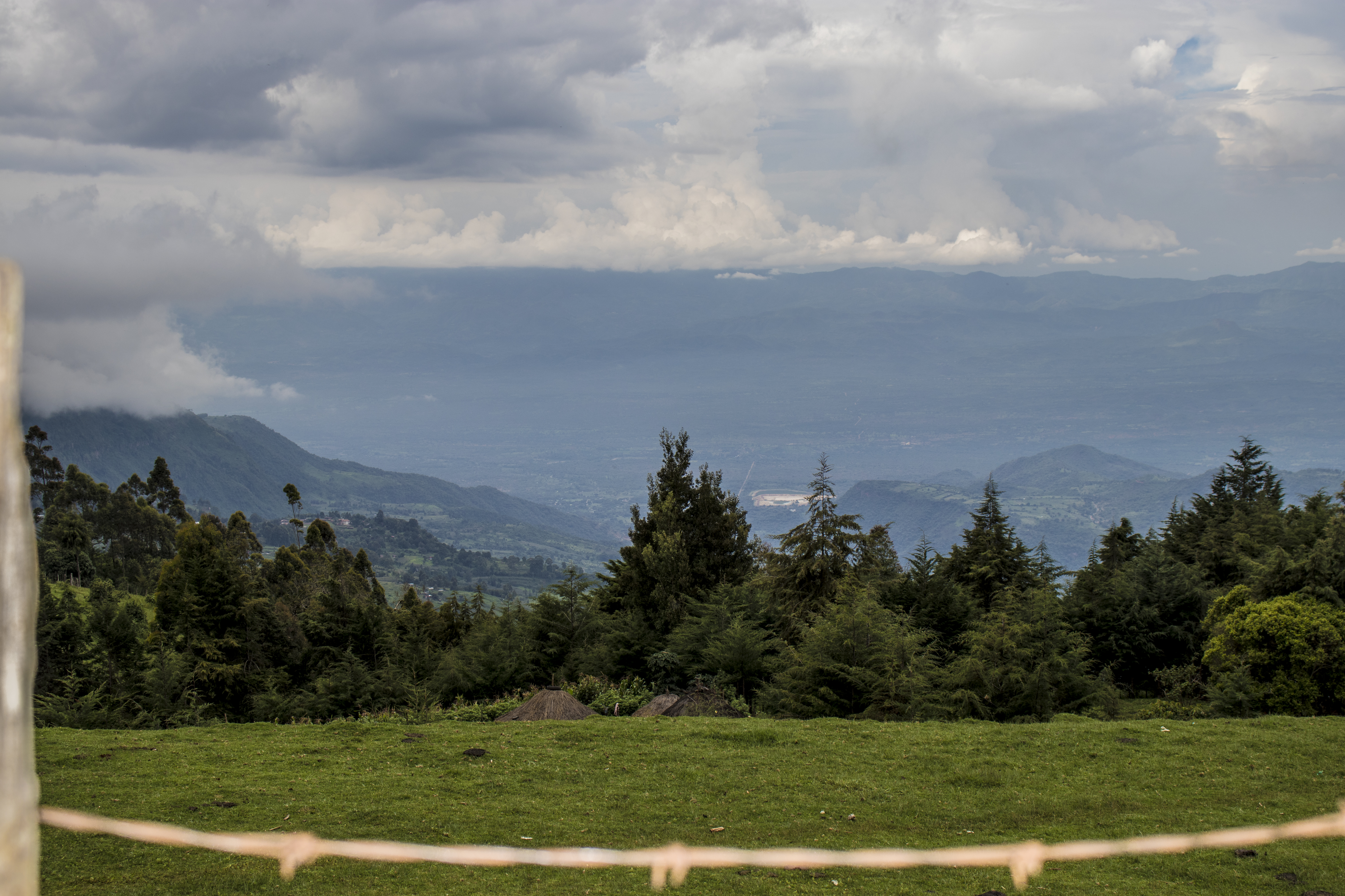
The Kerio Valley runs as a narrow trough approximately 80 kilometers long and just 10 kilometers wide at its broadest, cut between the Tugen Hills to the east and the Elgeyo Escarpment to the west. That western wall is staggering: the Elgeyo Escarpment rises more than 1,830 meters above the valley floor in places, one of the most dramatic fault scarps in the entire East African Rift system. The valley floor sits at roughly 1,000 meters elevation, carpeted in dry thorn bush, while the escarpment slopes above support semi-tropical vegetation that transitions into cooler highland forest. The Kerio River threads the length of the valley, flowing northward toward Lake Turkana. In 1983 the Kerio Valley National Reserve was established along the river north of Lake Kamnarok, protecting a corridor of riverine habitat within this otherwise arid landscape.
Furrows from the Forgotten
The irrigation systems in the Kerio Valley are remarkable not just for their engineering but for their mystery. The furrows channel water from highland streams down the escarpment slopes and into the valley, enabling cultivation in terrain that would otherwise be too dry to farm. Archaeologists attribute them to descendants of Neolithic Afro-Asiatic peoples who introduced domesticated plants and animals to the Great Lakes region, part of a succession of societies known collectively as the Stone Bowl cultural complex. Most of these early migrants were eventually absorbed by later waves of Nilotic and Bantu peoples. The Iraqw people of Tanzania claim connection to the builders and link the Kerio Valley furrows to the Engaruka irrigation complex in northern Tanzania, suggesting a broader tradition of pre-colonial water engineering across the Rift. Today the Marakwet maintain these channels through communal labor, repairing what they did not design, keeping alive a technology whose original architects vanished centuries ago.
The People of the Escarpment
Three Kalenjin subgroups divide the valley among themselves. The Elgeyo people settle the southern portions, the Marakwet occupy the north, and the Tugen live on the slopes of the hills that bear their name. Together with the Nandi and Kipsigis, they form part of the broader Kalenjin linguistic community, one of the most prominent Highland Nilotic groups in Kenya. At Kimwarer in the southern valley, the Kenya Fluorspar Company mines fluorite, one of the few industrial operations in this otherwise pastoral and agricultural landscape. The valley's climate dictates the rhythm of daily life: temperatures in the lowlands can be punishing, and the most comfortable months are July and August, after the rains have ended and before the heat builds again. For the communities here, the escarpment is not just a geological feature but a social boundary, dividing highland from lowland, cool from hot, one way of life from another.
A Rift Within the Rift
The Kerio Valley is a valley within a valley, a secondary trough inside the Great Rift Valley of Kenya. The Cherangani Hills rise to the northwest, the Tugen Hills to the east, and between them the Kerio River has carved a corridor that is both geographically isolated and historically connected to broader patterns of human movement across East Africa. The Sengwer people, the Talai clan of the Kipsigis, and the Nandi are all believed to share ancestry with the Iraqw, having taken on Kalenjin identity over time. This layering of peoples and traditions gives the valley a cultural depth that matches its geological one. Standing on the rim of the Elgeyo Escarpment and looking down into the thorn-studded valley floor, you see a landscape shaped by forces both tectonic and human, where fault lines in the earth mirror fault lines in memory.
From the Air
Located at 0.64°N, 35.61°E at approximately 1,000 m elevation on the valley floor. The Elgeyo Escarpment rising over 1,830 m to the west is a dramatic visual landmark. The valley runs roughly north-south between the Tugen Hills and Cherangani Hills. Nearest significant airstrip is Eldoret International Airport (HKEL), approximately 60 km to the west. Best viewed from 8,000-12,000 ft AGL for the full escarpment perspective.