Kiix-in
Listen carefully at the shoreline and you will hear it: the percussive crash of Pacific swells slamming against jagged rock. That sound gave this place its name. Kiix-in, sometimes written Kiix?in, is onomatopoeia rendered in the Nuu-chah-nulth language, a word that captures the relentless percussion of ocean meeting stone. For the Huu-ay-aht people, the village perched above those rocks was not just a settlement but the center of their world, occupied, as their oral histories attest, since time began.
A Name Written in Sound
European cartographers first romanized the name as Keeshan, a rough approximation of a word that resists translation into anything but the noise it describes. Under the terms of the Maa-nulth Treaty, the site was redesignated Kiix-in (Former First Nation Village), restoring a version closer to its original pronunciation. The correction matters. Names carry weight in Nuu-chah-nulth culture, and Kiix-in is a place where language and landscape are inseparable. The village sits on the western coast of Vancouver Island, overlooking Barkley Sound, where the open Pacific meets a labyrinth of inlets, islands, and channels. Archaeological assessments have confirmed what the Huu-ay-aht always knew: the site has been in continuous use for thousands of years, making it one of the longest-occupied places on the coast.
Siege and Reclamation
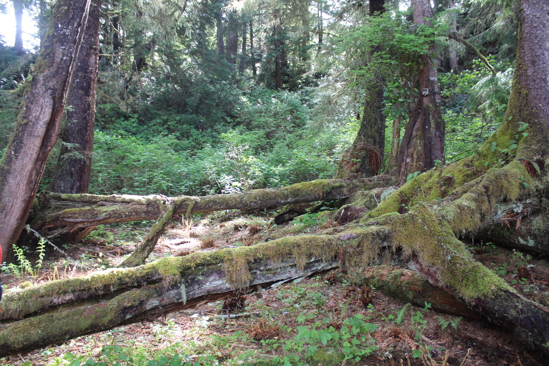
The Huu-ay-aht's tenure at Kiix-in was not unbroken. At some point in the centuries before European contact, the Klallam people, whose traditional territory lay across the Strait of Juan de Fuca, attacked and drove the Huu-ay-aht from their village. The details of the conflict belong to oral tradition rather than written record, but the outcome is clear: before 1850, the Huu-ay-aht reclaimed Kiix-in. That act of return resonates through the centuries. When researchers arrived in the twentieth century to study the site, they found remains of massive longhouses, the structural bones of a community built to endure. Dendroarchaeological studies of the timber have helped date construction phases, revealing a settlement that was rebuilt and expanded over generations.
Fortress Above the Waves
The site's geography explains its strategic importance. Perched on rocky bluffs above the pounding surf, Kiix-in offered natural defenses that would have made any assault by canoe perilous. The longhouses sheltered extended families, their cedar frames anchored against winter storms that could send spray high over the clifftops. From this vantage point, the Huu-ay-aht could monitor the sea approaches and the rich marine resources of Barkley Sound, waters that sustained them with salmon, halibut, and whale. Today Kiix-in holds the status of a National Historic Site of Canada, a recognition that this shoreline holds stories reaching back far deeper than any colonial archive.
The Sound Endures
Kiix-in is no longer inhabited, but it is far from abandoned. The Huu-ay-aht First Nation maintains stewardship over the site, and its designation under the Maa-nulth Treaty reflects modern treaty-making that acknowledges the continuity of Indigenous presence on this coast. The longhouse remains, weathered by salt and wind, still stand as testimony to the engineering skill of their builders. Visitors who make the journey by boat from the nearby community of Bamfield find a landscape that has changed remarkably little since the village's peak. The same waves crash against the same rocks, producing the same sound that gave this place its name. In a world where so many place names have been stripped of meaning, Kiix-in still speaks for itself.
From the Air
Located at 48.815N, 125.175W on the outer western coast of Vancouver Island, overlooking Barkley Sound. The site sits on rocky bluffs visible from low altitude. Nearest airport is Tofino/Long Beach Airport (CYAZ), approximately 50 km to the northwest. The Ucluelet Water Aerodrome (CAP4) is closer, roughly 25 km north. Expect frequent fog and low cloud along this stretch of coast, particularly in summer mornings.