Kirthar Mountains
The highest point in the Sindh portion of the Kirthar Mountains is called Kutte-ji-Qabar -- the Dog's Grave. According to a folk tale recorded in the 1855 collection Folk Tales of Scinde and Guzerat, a Brahui man's dog chased after thieves who had robbed a merchant. The merchant freed the dog and returned it, but the Brahui man, thinking the animal had simply run away, punished it. The dog died. When the man learned the truth, he carried the body to the mountaintop and buried it there, his remorse measured in vertical feet.
A Boundary Written in Stone
The Kirthar range runs roughly north-south from the Arabian Sea coast to the Sulaiman Mountains in northwest Pakistan, forming the natural boundary between the provinces of Sindh and Balochistan. The range's highest peak, Zardak, reaches 9,498 feet. The second tallest, Drakhel Hill, stands at 8,135 feet as surveyed by the British Army Corps of Engineers. South of these summits, the mountains diminish gradually toward Bedor Hill at 3,320 feet. Several peaks exceed 5,500 feet and receive occasional heavy snowfall in winter -- an unexpected sight for anyone who associates this region only with desert heat. The sub-ranges of Khasa Hills and Mulri Hills extend all the way into the city limits of Karachi, connecting Pakistan's largest city to the ancient spine of rock that defines its western horizon.
Deep Time in the Ridges
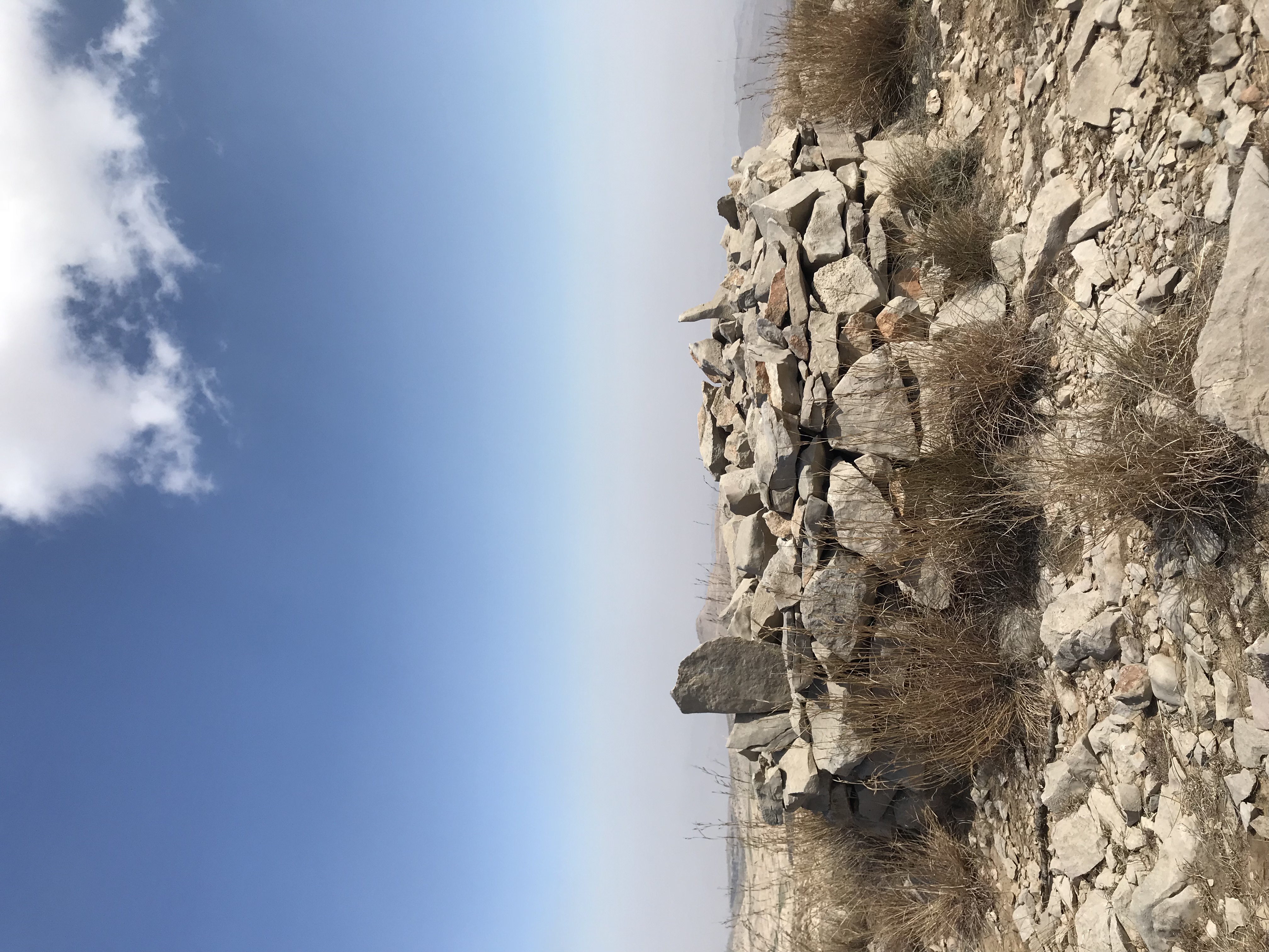
The Kirthars consist of parallel anticlinal ridges oriented mostly north-south, with steeper northern and western faces. They belong to the Kirthar-Sulaiman geological province, a formation whose limestone layers contain fossils from epochs when this terrain lay beneath shallow seas. Within the mountain range, archaeologists have identified 21 prehistoric sites, evidence that human communities found shelter in these valleys long before recorded history. The Kirthar National Park, established within the range, preserves both geological and archaeological heritage alongside populations of Chinkara gazelle, Sindh ibex, and various raptor species. Cold-water springs emerge from the rock, providing oases that have sustained both wildlife and human travelers for millennia.
Tribes of the High Ground
The Kirthar range is not empty. Major tribes living within it include the Chhutta, Burfat, Gabol, Marri, Bozdar, Lund, Nohani, Bugti, Chandio, and Lashari. These communities occupy a contested landscape: the mountain's mineral-rich areas have sparked territorial disputes between the provincial governments of Sindh and Balochistan, with both claiming jurisdiction over peaks and passes. The Gaji Lak Pass, on the road from Zidi and Khuzdar to Jhalawan, is the only frequently used route through the range, making it a choke point for both trade and authority. The rest of the range remains accessible primarily to those who know its goat trails and seasonal water sources.
Visible From the Sky
From cruising altitude, the Kirthar range appears as a long corrugation of parallel ridges running from the Arabian Sea coast northward, separating the green irrigated lowlands of the Indus Valley to the east from the brown desert plateau of Balochistan to the west. The Hub and Gaj rivers drain the mountains, cutting gorges that are visible as dark lines against the pale rock. On clear days, the transition from urban Karachi to wild mountain is startlingly abrupt -- the city's western suburbs give way within kilometres to the Mulri and Khasa hills, the outermost fingers of a range that stretches hundreds of kilometres into the interior of Pakistan.
From the Air
The Kirthar Mountains extend along approximately 27.00N, 67.16E, forming the boundary between Sindh and Balochistan provinces. Zardak Peak reaches 9,498 feet. The range runs north-south and is clearly visible from cruising altitude as a series of parallel ridges separating the Indus plain from the Balochistan plateau. Maintain safe altitude above the peaks. The nearest major airport is Jinnah International (ICAO: OPKC) in Karachi, with sub-ranges of the Kirthars extending to within the city's western limits.