Kiso Mountains
During the Edo period, the punishment for felling a hinoki cypress in the Kiso Valley was death. "One head for one tree," the saying went, and the Tokugawa shogunate enforced it. The forests blanketing the Kiso Mountains were that valuable, their slow-growing timber reserved for castles, temples, and the ceremonial rebuilding of Ise Jingu, Japan's most sacred Shinto shrine. Today, these granite peaks straddling Nagano and Gifu prefectures still wear that dense cloak of forest, and the Central Alps, as they are more commonly known, remain the quietest and least visited of the three ranges that make up the Japanese Alps.
The Middle Child of the Japanese Alps
The Kiso Mountains sit between their more famous siblings: the Hida Mountains, or Northern Alps, to the northwest and the Akaishi Mountains, the Southern Alps, to the east. Together, the three ranges earned their collective nickname from the English missionary Walter Weston, who explored them in the 1890s and saw in their jagged ridgelines an echo of Europe. The Central Alps are the most compact of the three, running roughly north-south through the heart of Nagano Prefecture. Their highest point, Mount Kisokoma, reaches 2,956 meters and is listed among Japan's 100 Famous Mountains. The range is composed primarily of granite, and the upper elevations push above the treeline into a world of bare rock, wind-scoured ridges, and delicate alpine flowers. Around Mount Kisokoma, a species of edelweiss called Leontopodium shinanense grows wild, found nowhere else on Earth.
A Cirque in the Clouds
The Komagatake Ropeway offers what may be the most dramatic vertical transit in Japan: a 950-meter elevation gain in minutes, the greatest height difference of any ropeway in the country. At the top sits Senjojiki Station, at 2,612 meters the highest station of any kind in all of Japan. Stepping off the gondola, hikers emerge into the Senjojiki Cirque, an immense bowl carved by glaciers roughly 20,000 years ago during the last ice age. The cirque's sheer granite walls rise in a semicircle, and in summer the basin floor erupts with some 150 varieties of alpine wildflowers. The route from Senjojiki to the summit of Mount Kisokoma is gentle enough for experienced beginners, a round trip of about four hours that passes through a landscape more reminiscent of the European Alps than anything most visitors expect to find in Japan.
Rivers Born in Granite
The Kiso Mountains are the headwaters of two significant river systems. The Kiso River flows north and west, carving the famous Kiso Valley, a 100-kilometer corridor of dense forest that channeled feudal-era traffic along the Nakasendo highway. The Tenryu River drains to the south and east. Both ultimately reach the Pacific Ocean via Ise Bay. The Kiso Valley itself is 93 percent forested, its steep slopes still dominated by the hinoki cypress that made the region so fiercely protected during the shogunate. Along the valley floor, post towns like Tsumago, Magome, and Narai preserve the architecture and atmosphere of the Nakasendo era, when travelers on foot and horseback moved between Kyoto and Edo through these mountain corridors rather than risk the coastal Tokaido route.
The Quiet Alps
While the Northern Alps draw climbers to Kamikochi and the Southern Alps attract serious mountaineers to remote ridgelines, the Central Alps offer something different: accessibility without the crowds. The ropeway makes high-altitude terrain available to day-trippers, and mountain huts along the ridgeline cater to those who want to spend a night above the clouds watching stars emerge over granite. The lower slopes, cloaked in that ancient forest, hold quieter rewards: hot springs, riverside trails, and villages where traditional woodcraft continues using locally harvested timber. The Kiso Mountains do not shout for attention. They sit between giants, their forests thick, their peaks sharp against the sky, and their history woven into the grain of every cypress beam in every temple they helped build.
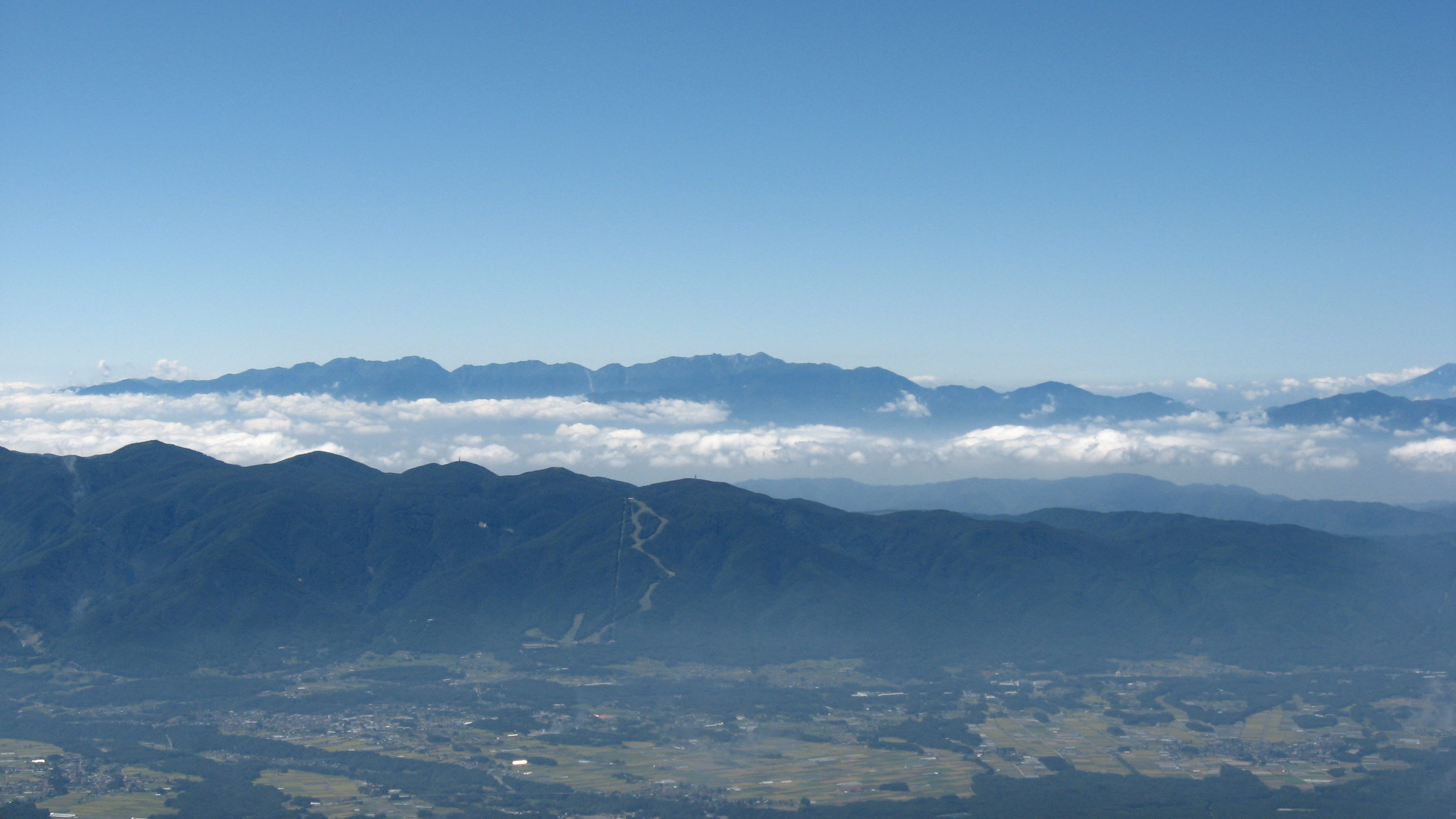
From the Air
The Kiso Mountains (Central Alps) run north-south through Nagano and Gifu prefectures, centered approximately at 35.7894N, 137.8044E. Mount Kisokoma, the highest peak at 2,956 m, is the most prominent feature from the air. The Senjojiki Cirque on Kisokoma's east face is visible as a dramatic semicircular bowl. The Kiso Valley runs along the western flank, with the Kiso River visible as a forested corridor. The nearest airport is Matsumoto Airport (RJAF), approximately 60 km to the north. Chubu Centrair International Airport (RJGG) lies about 140 km to the southwest. Be aware of significant mountain weather, turbulence, and rapidly changing visibility around these peaks. The treeline sits at roughly 2,500 meters, above which bare granite ridges are exposed.