Klamath River
The Yurok people call it "the Bloodline: the life blood of the people." For at least 7,000 years, the Klamath River sustained tribes who built their cosmologies around its salmon runs - the third largest on the Pacific coast. Then came the dams. For over a century, concrete walls blocked the river's pulse, cutting off hundreds of miles of spawning habitat. In October 2024, the last of four dams fell in the largest dam removal project in American history. Within months, Chinook salmon were spotted at the confluence of the Sprague and Williamson Rivers, above Upper Klamath Lake - waters they hadn't reached in over 100 years. The Klamath's story is one of devastation and renewal, of competing claims to water, and of what happens when a river is finally allowed to remember what it once was.
A River Between Worlds
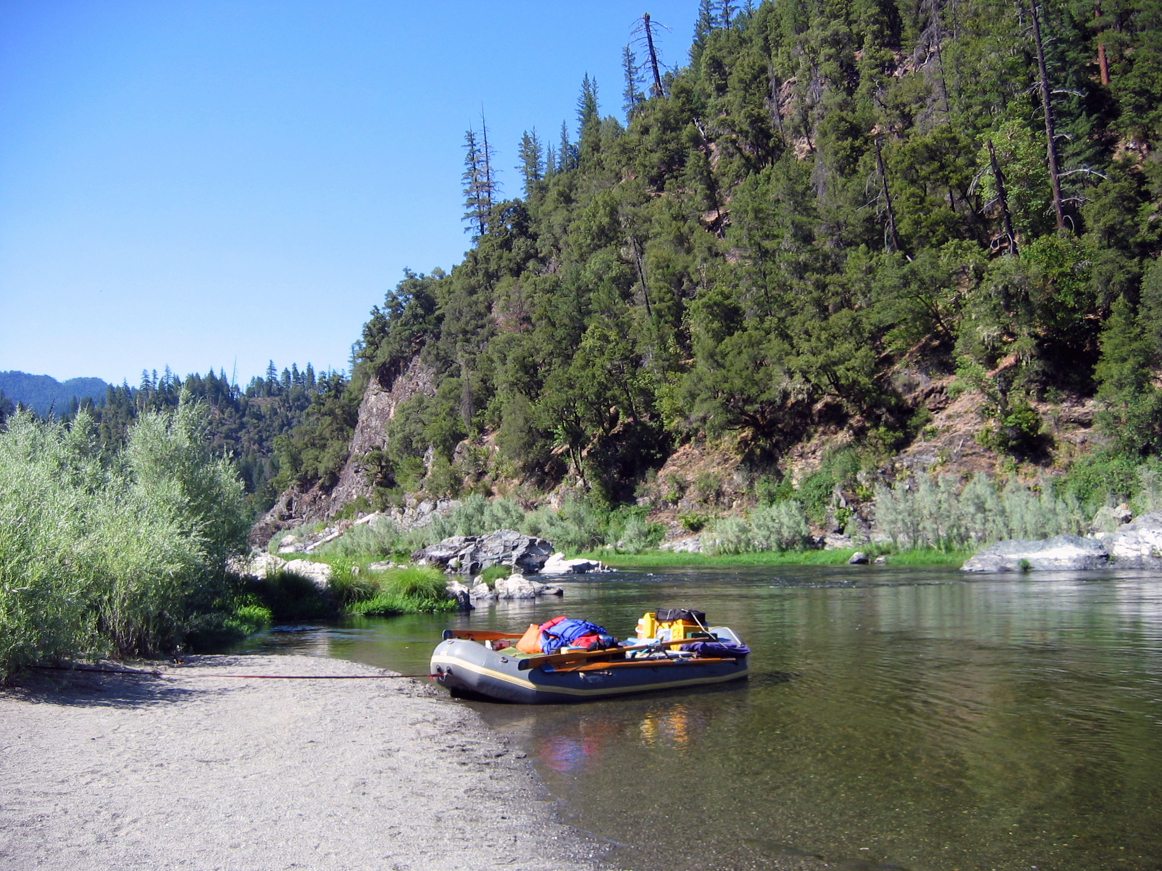
The Klamath begins its 263-mile journey at Lake Ewauna near Klamath Falls, Oregon, where the high desert meets the Cascade Range. From there it cuts westward through volcanic rock, traversing the Klamath Mountains before emerging into the temperate rainforest of California's North Coast and finally reaching the Pacific. This path defies topography - the Klamath is a superimposed stream, meaning it carved its course through rising mountains rather than flowing around them. The watershed encompasses more than 15,000 square miles, hosting biodiverse forests, designated wilderness, and freshwater marshes that serve as crucial migratory bird habitat. Elevations range from sea level to the summit of Mount Shasta at over 14,000 feet, the highest point in the basin.
The People of the River
Multiple tribes shaped their lives around the Klamath's rhythms. The Yurok, Hupa, and Karuk along the lower canyons caught salmon with weirs, basket traps, and harpoons. Ishi Pishi Falls near the Salmon River confluence has been a traditional Karuk fishing ground for millennia. The river's very name reflects its centrality: the Klamath Tribe's name derives from the Upper Chinookan word meaning "they of the river." For the Yurok, the river provides ney-ouy (salmon), Kaa-ka (sturgeon), kwor-ror (candlefish), and chey-gel' (seaweed). Their language references the Klamath in descriptions of direction itself. Annual salmon ceremonies honor fish that the tribes consider ancestors, and many traditional practices require bathing in or drinking the river's waters.
A Century of Concrete
The damming of the Klamath began in 1918 when Copco No. 1 rose in Ward's Canyon, blocking fish migration to more than 350 miles of spawning streams in the Upper Basin. Copco No. 2 followed in 1925, J.C. Boyle Dam in 1958, and Iron Gate Dam shortly after. Meanwhile, the federal government drained the upper basin's once-extensive wetlands for the Klamath Irrigation Project, transforming what 19th-century explorers called a "western Everglades" into farmland. Salmon runs that once numbered 800,000 Chinook collapsed. In 2002, following controversial decisions to prioritize irrigation during drought, at least 34,000 adult Chinook died in a single mass die-off attributed to low flows and disease. The river had become a symbol of impossible choices between agricultural needs and ecological survival.
The Waters Break Free
The path to dam removal took nearly two decades of negotiations between tribes, conservation groups, local representatives, and PacifiCorp, the utility operating the dams. In 2016, the Klamath Hydroelectric Settlement Agreement outlined procedures for removal while maintaining irrigation water supply and providing economic assistance to affected communities. The Klamath River Renewal Corporation was created to manage the project. Copco No. 2 fell first in October 2023. The reservoirs behind the remaining three dams were drained in early 2024, and by August the dams themselves were demolished. The river ran cloudy for weeks as a century of accumulated sediment flushed downstream. Then came the salmon. On October 17, 2024, the first fall-run Chinook was observed in Oregon's Upper Klamath Basin.
A River Remembering
In the summer of 2025, a group of teenage tribal members completed a 30-day canoe descent of the full river - the first such journey in over 100 years. Supported by the NGO Rios to Rivers, they trained for two years before launching from the headwaters. Indigenous representatives from New Zealand, Chile, and China joined them for the final three days, fellow defenders of rivers around the world. The California Department of Fish and Wildlife reported salmon reoccupying nearly every corner of their historical habitat. Restoration crews are revegetating newly exposed reservoir beds and stabilizing sediments. The Klamath Basin National Wildlife Refuge Complex still hosts 3 to 5 million waterfowl annually. Whitewater rapids once buried beneath reservoirs now challenge kayakers. The river is becoming, once again, what the Karuk call Ishkeesh and the Klamath call Koke - a bloodline flowing free.
From the Air
Located at 42.19N, 121.78W near Klamath Falls, Oregon. The river stretches 263 miles from the Oregon high desert to the Pacific Ocean at coordinates approximately 41.55N, 124.08W. Former dam sites visible along the Klamath River Canyon south of the Oregon-California border. Upper Klamath Lake is a prominent visual landmark. Nearest major airports: Crater Lake-Klamath Regional (KLMT) and Rogue Valley International-Medford (KMFR). Best viewing at 3,000-5,000 AGL to trace the river's dramatic course through the Klamath Mountains.